July 24th
Below Wind River Peak(12.7)-Big Sandy Lake(20.8)
Mileage: 8.1
Campsite Elevation: 9,784ft
It was a brisk start to the day at 6am as we headed up to our next landmark, Chimney Rock. The guidebook didn’t describe which of the many chimney-esque rock formations were the actual Chimney Rock, so we just aimed for something and adjusted as we went. Our goal is still to mainly use map & compass, and we don’t need to be spoon fed, but a description would have helped.
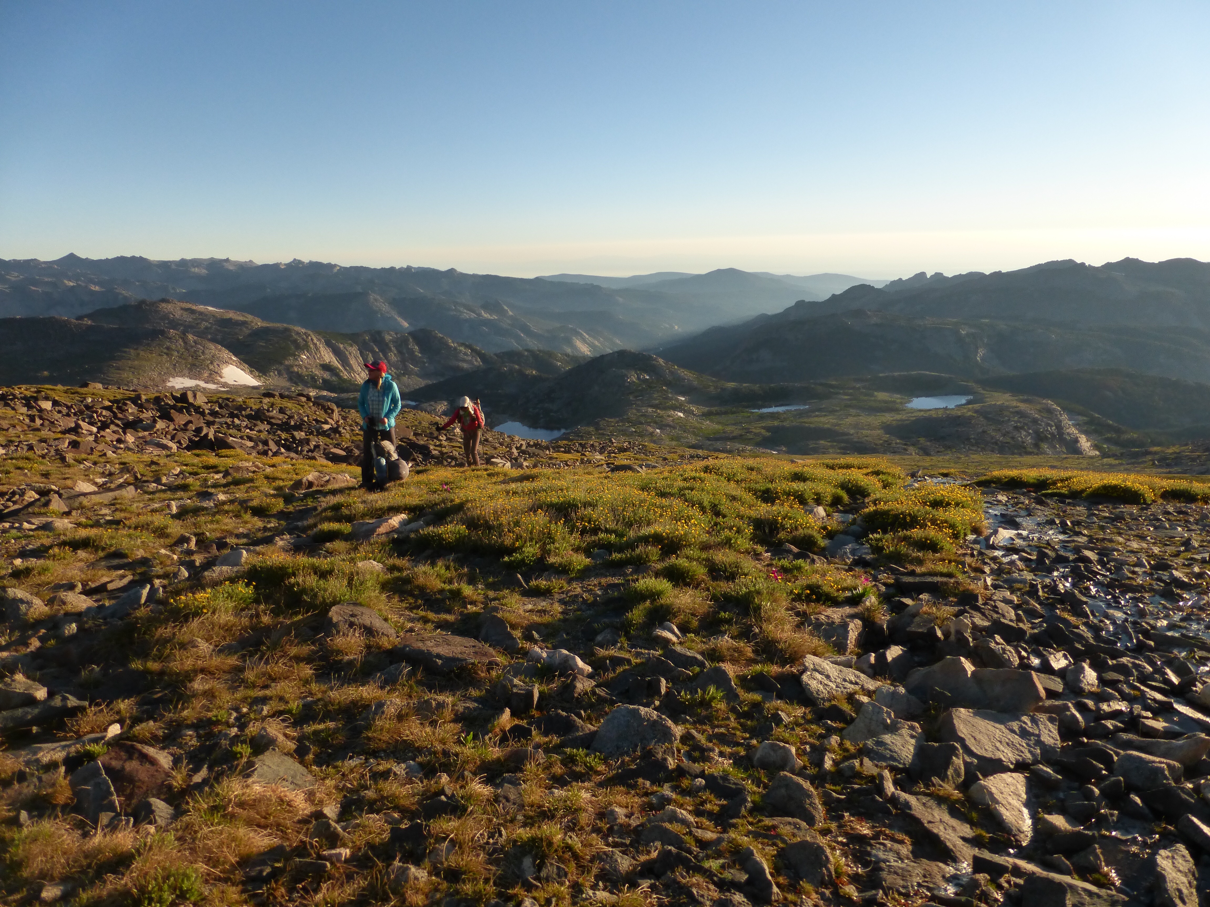
We ended up hiking to a different landmark, and realized it once we got more of a view. We caved and checked the GPS because our paper maps also had quite a gap between waypoints and something seemed to be awry. Wouldn’t you know it, we turned on the GPS to see a waypoint that Skurka had put on the GPX file, but not on the map. For those of us attempting to solely use map and compass, it’s frustrating that the maps do not have all the beta on them. Many waypoints are even labeled differently on the map than on the GPX file or data sheet. So, it will have one description on one resource and another description for the same point on another. Now that we know, we are being more aware to cross check all the resources…which is tons of fun when trying to navigate something new.
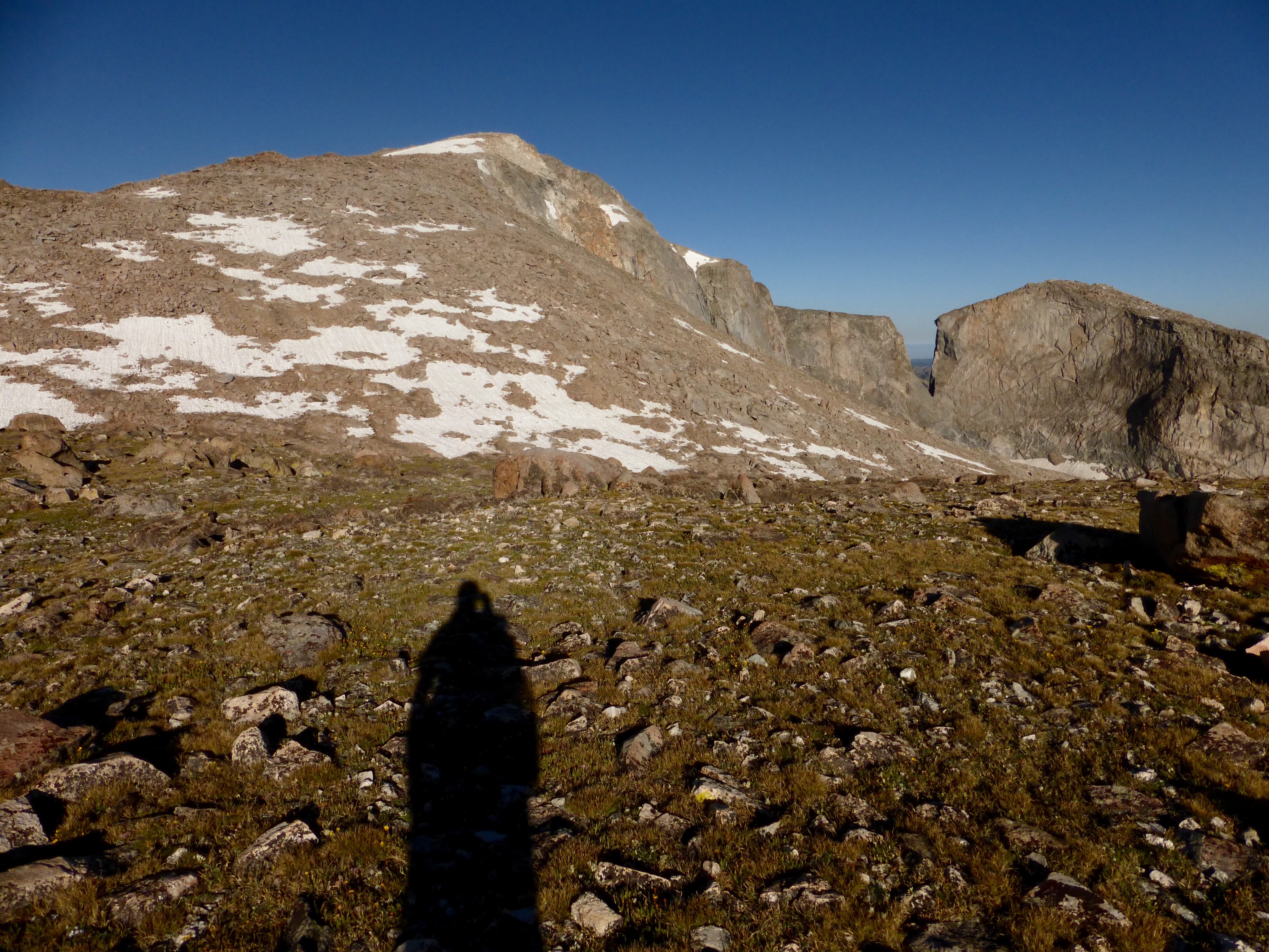
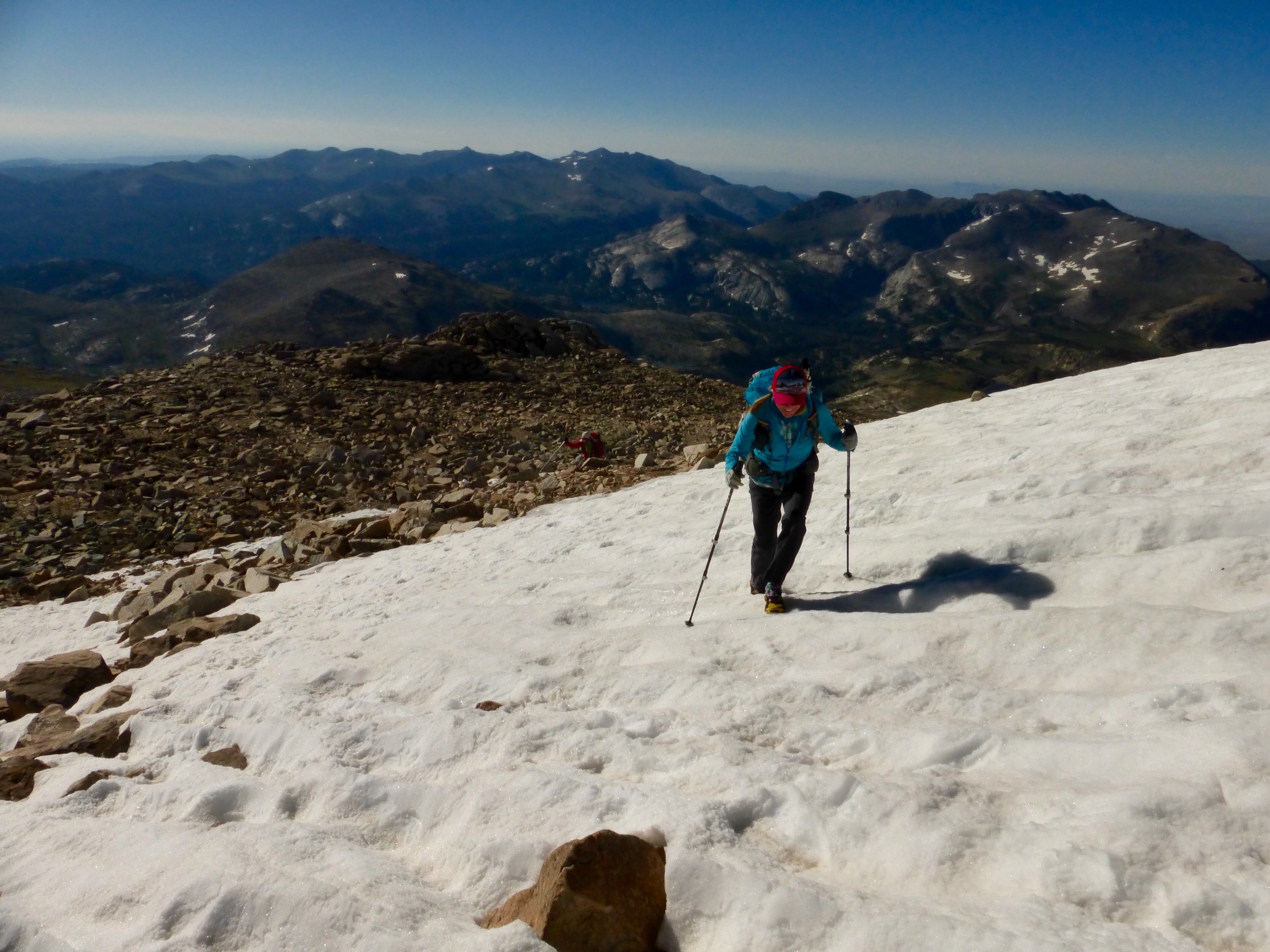
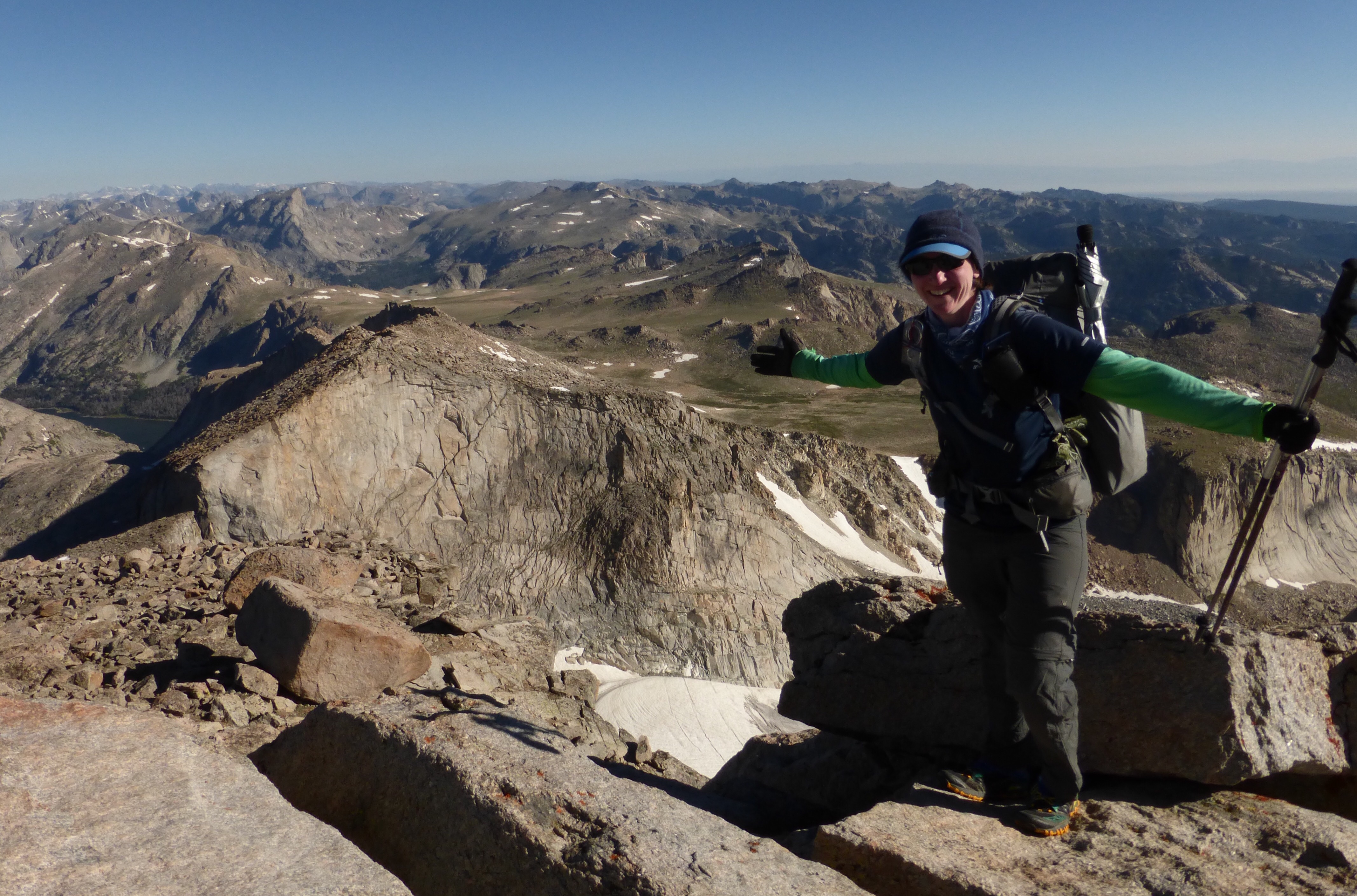
We headed up Wind River Peak. The final mile or so, was a combination of various sized boulders, rocks, and some stretches of snow. It went smoothly, but temps were in the low 40s and it was really windy. Yes, we were cold and got down quick.
I checked for service at the top while I was waiting for Rockin’ and Why Not to come up, and didn’t have any. Then, when they made it up, they checked and had service. I realized I had my data turned off on my phone, so it appeared to have no service, ugh! My opportunity to post yesterday’s entry was past, dang!
There are many ways down Wind River Peak. Skurka has his route going down a sketchy west gully that is very tedious and time consuming. Having just done the Sierra High Route, we are accustomed to talus and hiking on various rocky terrains. The ones on the SHR are there for a reason to take you to something great or setup something cool. We knew there were safer and more efficient options to go down Wind River Peak.
In our research, every local person who knew the area, saw no reason to take the sketchy West Gully route. We decided to do it anyway, figuring it would pay off in the end and Skurka must have some reason for it.
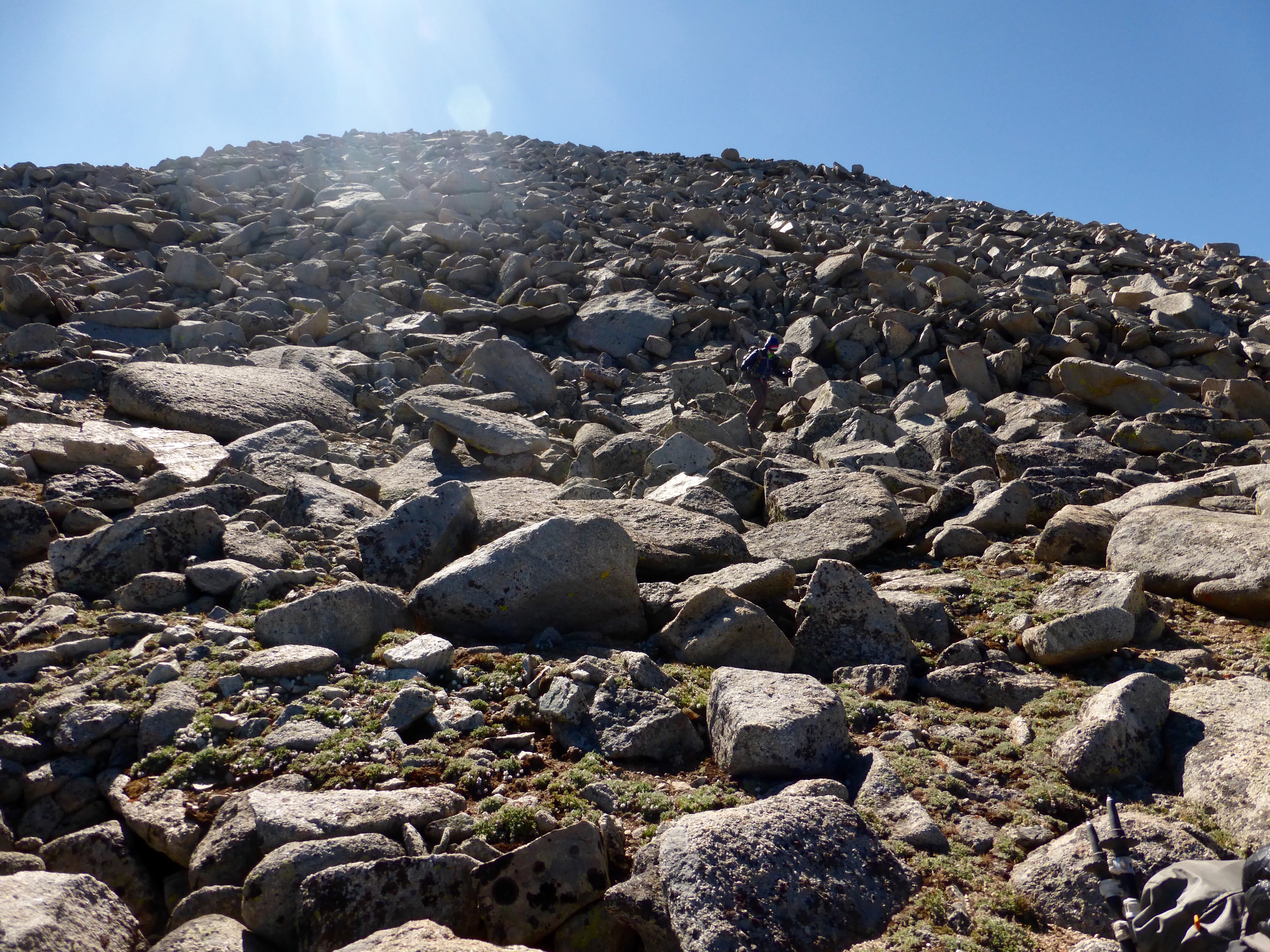
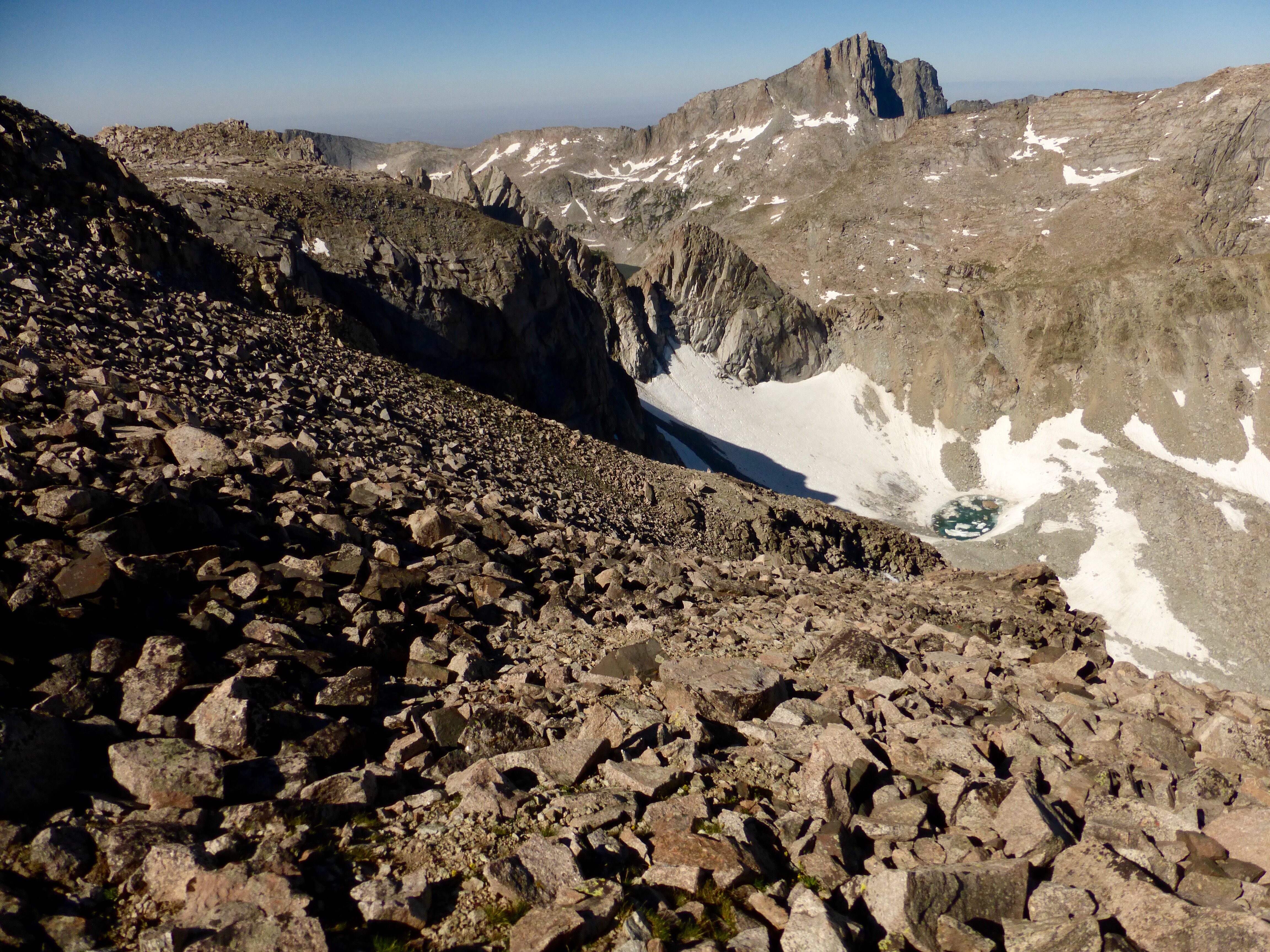
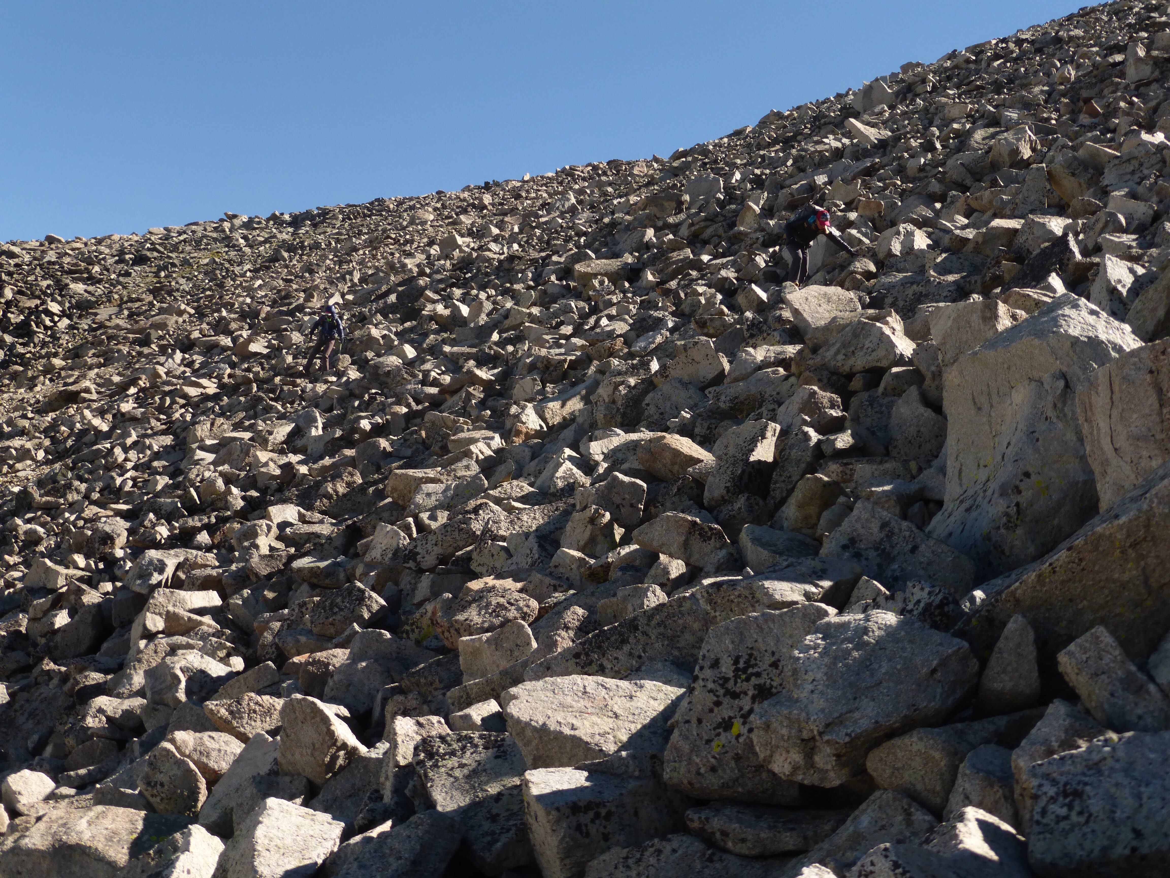
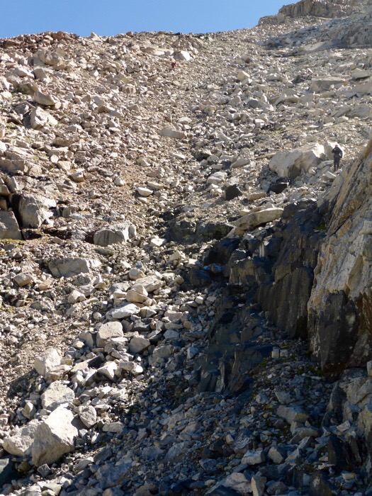
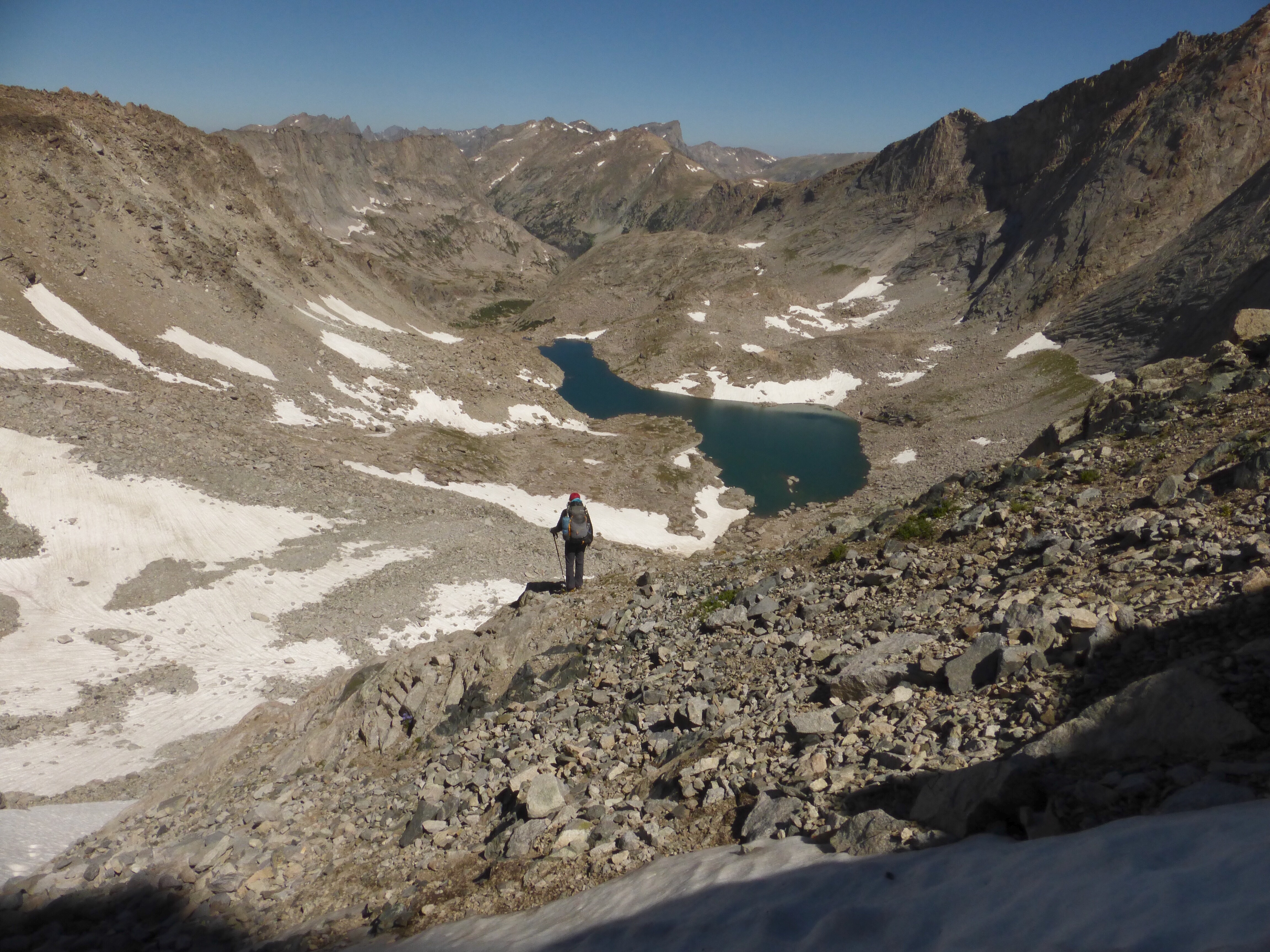
We spent four hours on the descent down to the unnamed lake below the peak. Four hours of carefully stepping from one unstable, sharp, and shifting rock to another. I’d say that if you enjoy this kind of travel and/or have good knees for extended downhill, it could be more like 3hrs for that descent. We all felt fine with the exposure in comparison to all we’ve done in the last month, but it wasn’t a safe place to be.
The whole thing is quite unstable and when you’re in a group, it’s challenging to stay out of each other’s fall lines. All I can say is that it’s like a rock version of Jenga. At any moment, the whole thing could come tumbling down. I had plenty roll and shift and even fall on my own feet. All I could think was if that one rock was going to set off the chain reaction of all the others above or below me. There was possibly some class 3 stuff on the final part of the descent, but we had snow in the final chute that may have been covering it. We had our microspikes, and it was too steep and mushy to safely walk down, so we did a great combination of butt scooting and having our feet half on snow and half on rock with some handholds where possibly. Yes, it’s quite fancy and looks as cool as it sounds.
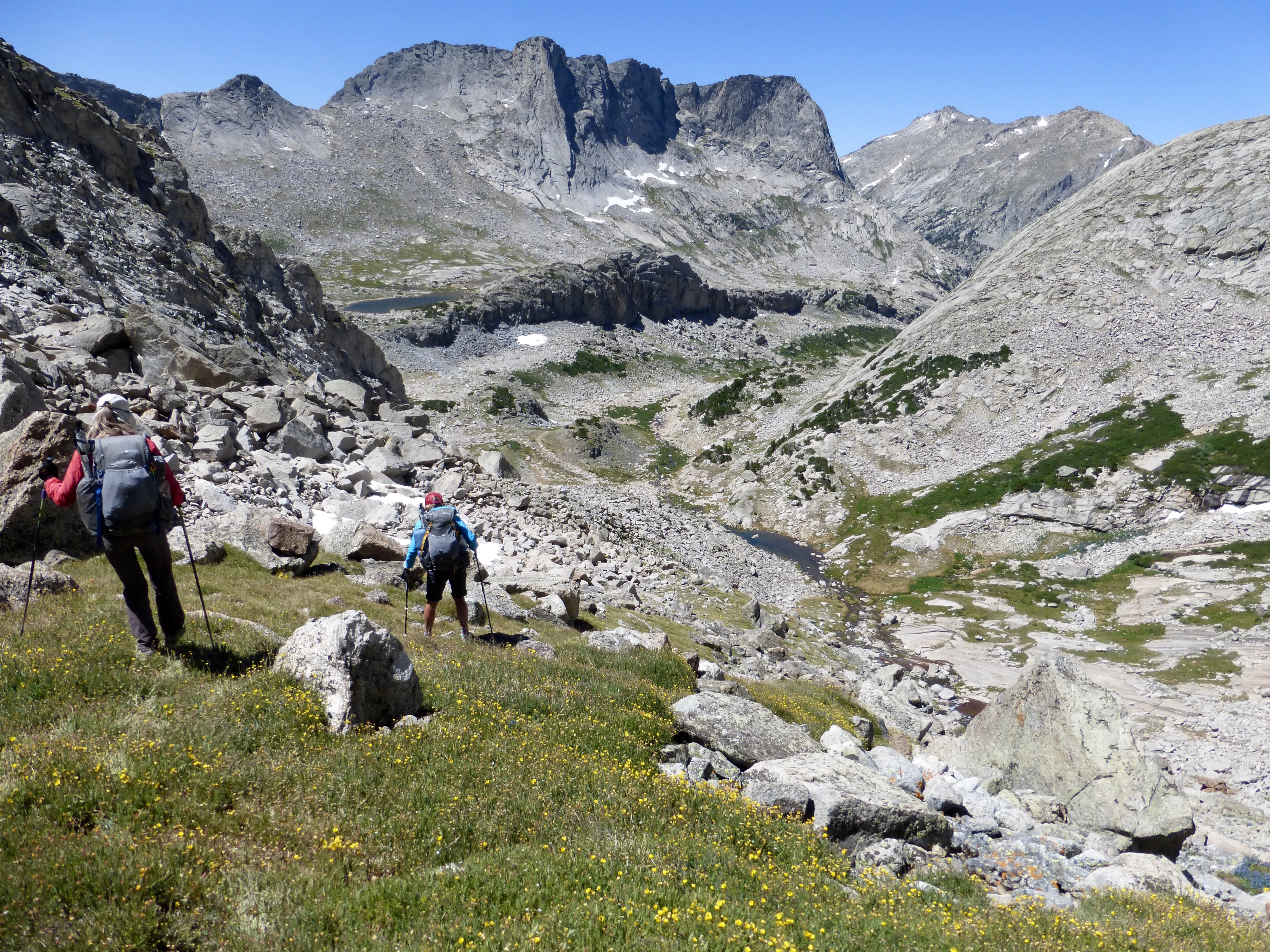
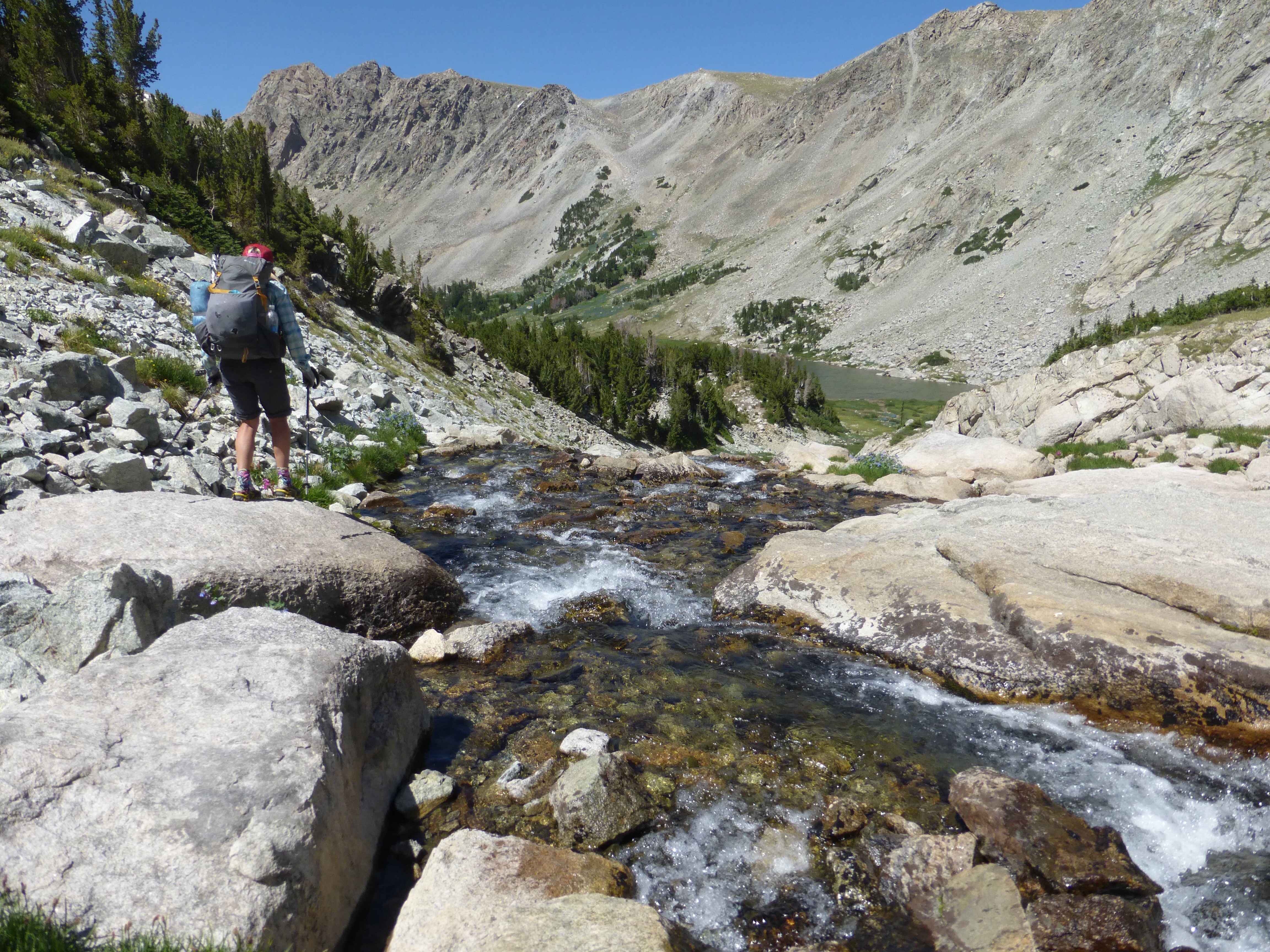
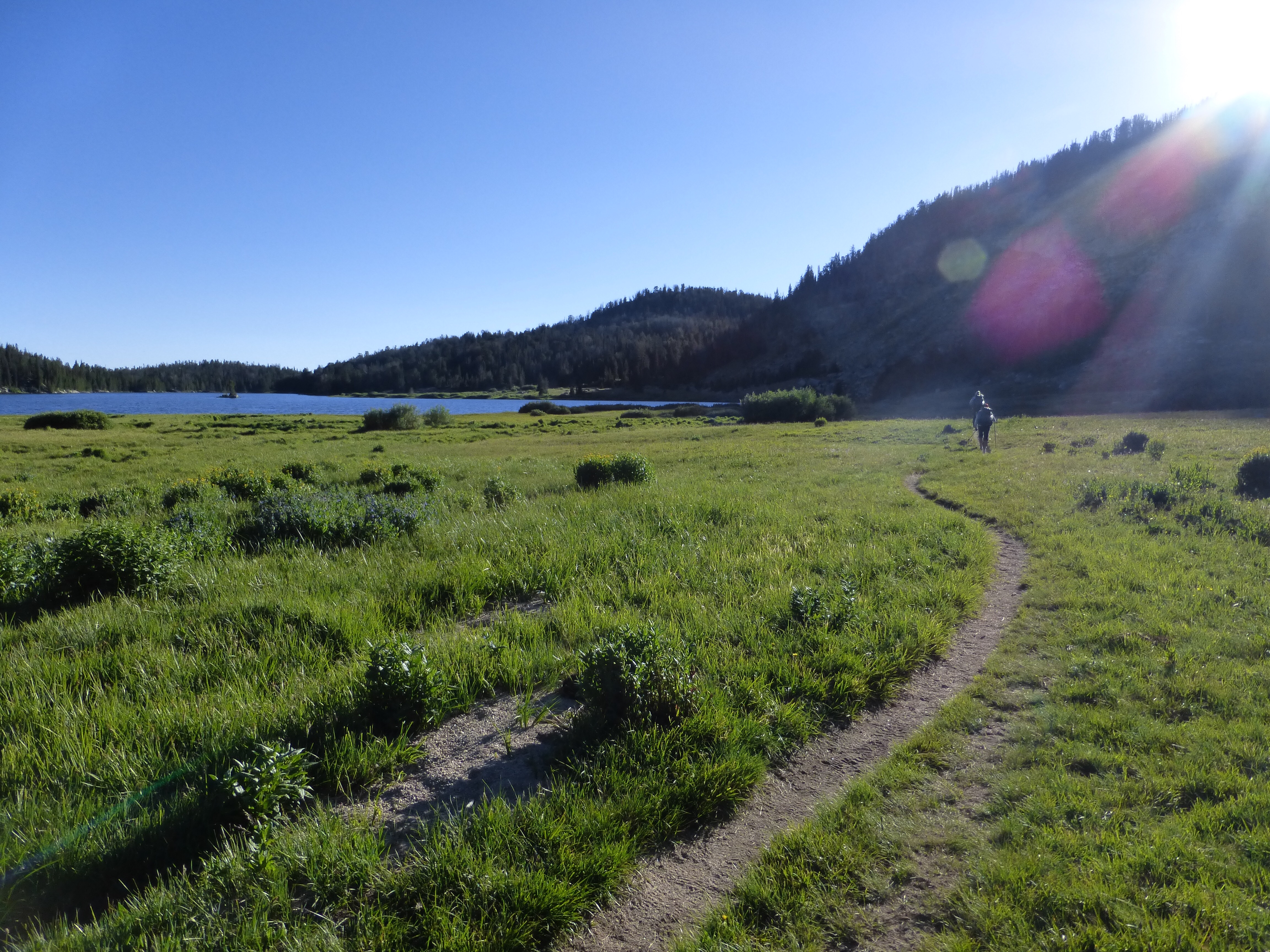
So we finally made it down to the lake and had lunch. From there, the hiking got much easier as we followed a steam to Black Joe Lake and there were use trails in and out. We got to walk for a bit through a nice meadow area. The wildflowers are really coming out and that’s been great to see.
We took a break along Black Joe Lake and considered that we may make it further than we anticipated. We looked at our maps, but none of us had the next page out because we didn’t think we’d need it today. I had it in a spot I could get to quickly and added that page to my quart Ziploc that I keep in my pack’s side pocket with the maps and data sheets for that day. Well, guess what happened when we left that break…yep, I left it there somehow! Ugh, once again, I lost something on the trail. It was two days of maps and beta.
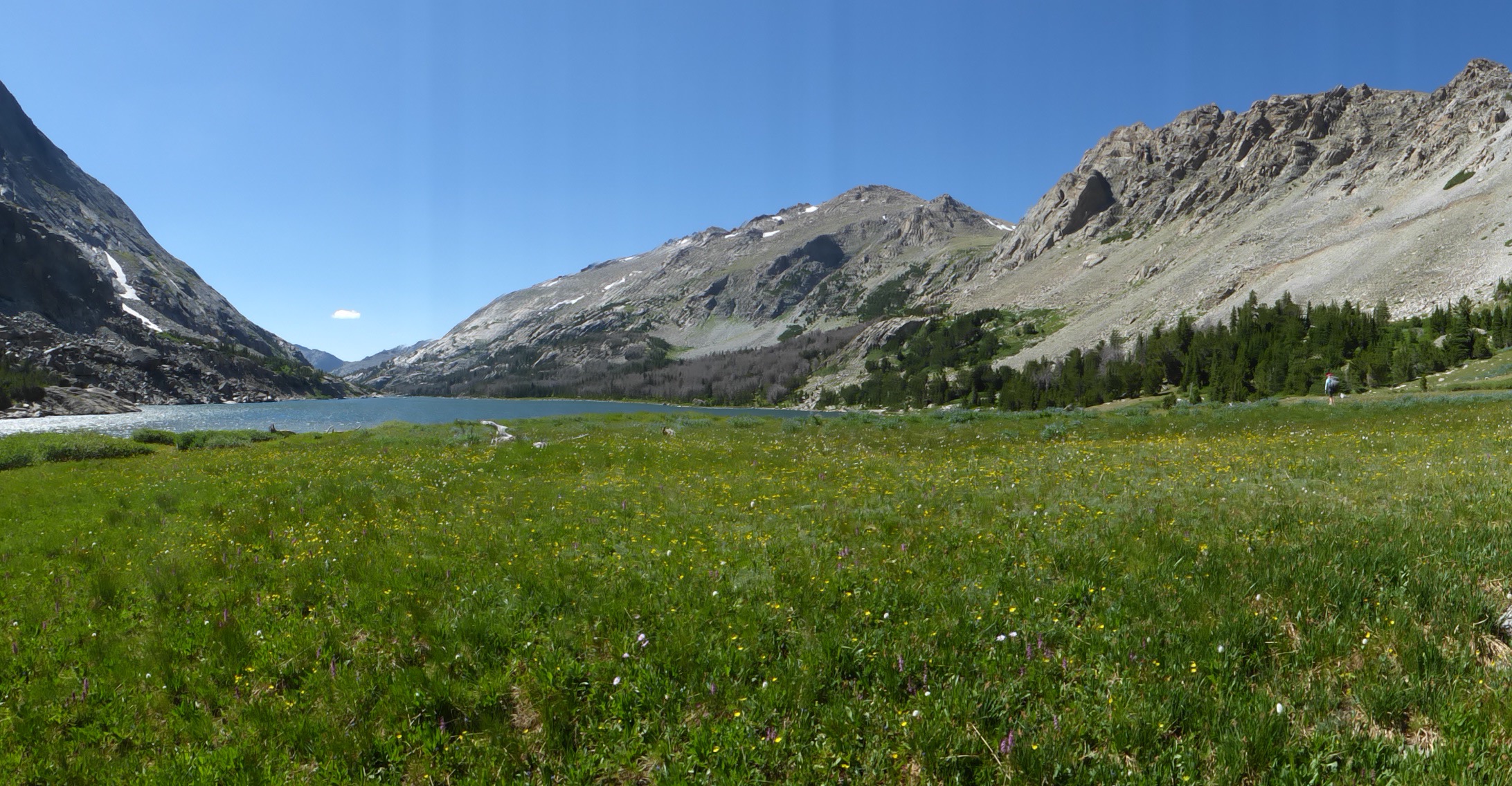
Good thing is that this has happened before, so I keep copies of all of it on my phone along with a track. So it’s more of an annoyance and I am more mad that I left trash, particularly a Ziploc, out in the wilderness. Not happy about that one. However, I think the scales are still balanced because I did find a big fancy multi-tool while going up Wind River Peak this morning that I’m packing out to Big Sandy Lodge tomorrow.
At the end of Black Joe Lake was a cliff band that required hiking up and over on a light use trail. That took longer than expected and nixed our plans for hiking further than our planned camping for the day. At the end of the light use trail was a down climb that looks worse from the bottom than it was. Across from Black Joe Lake is Haystack Rock, which Pyrite and Chinchilla climbed today. We could see it all day and it was cool to think we were so close to overlapping.
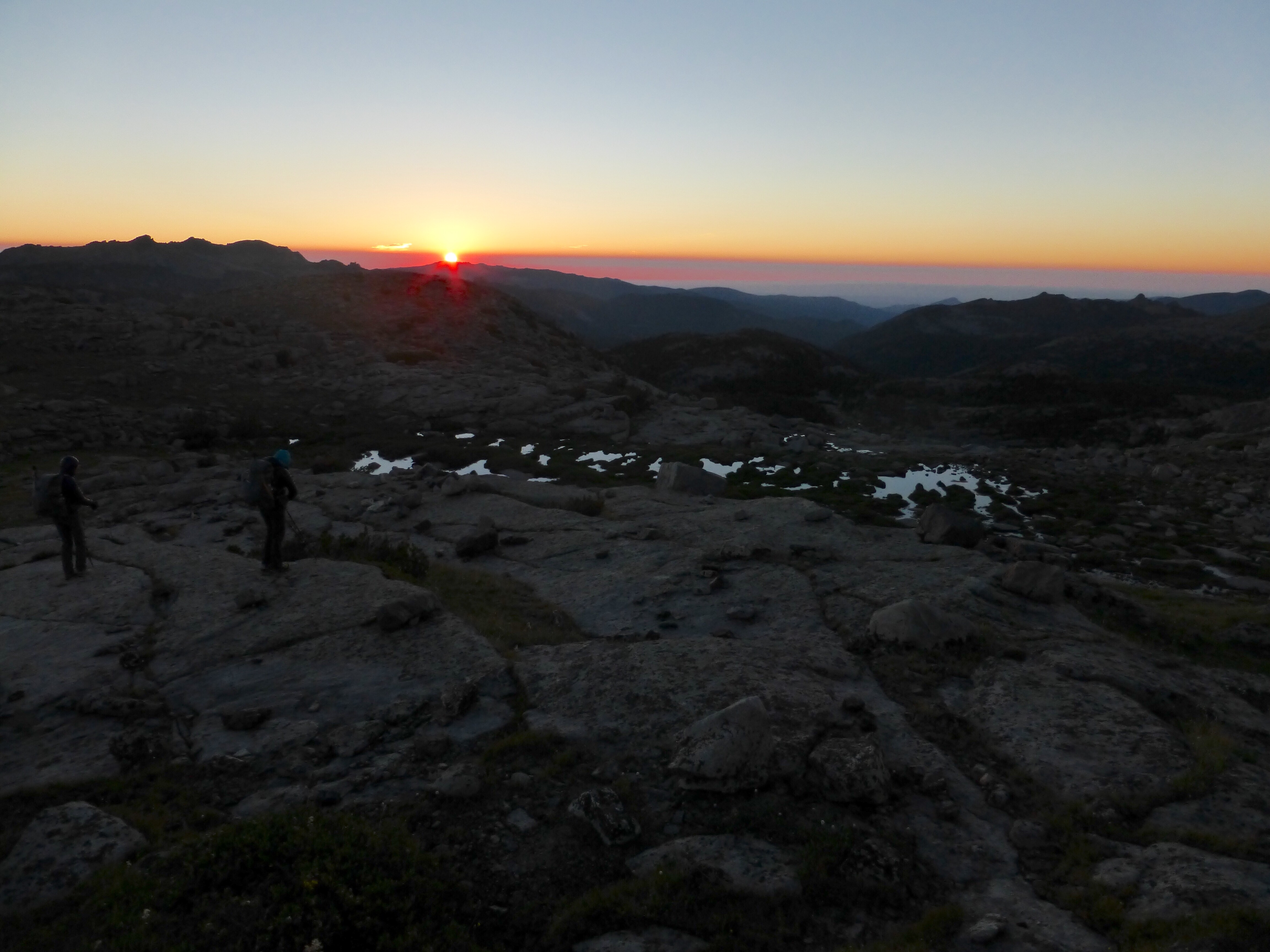
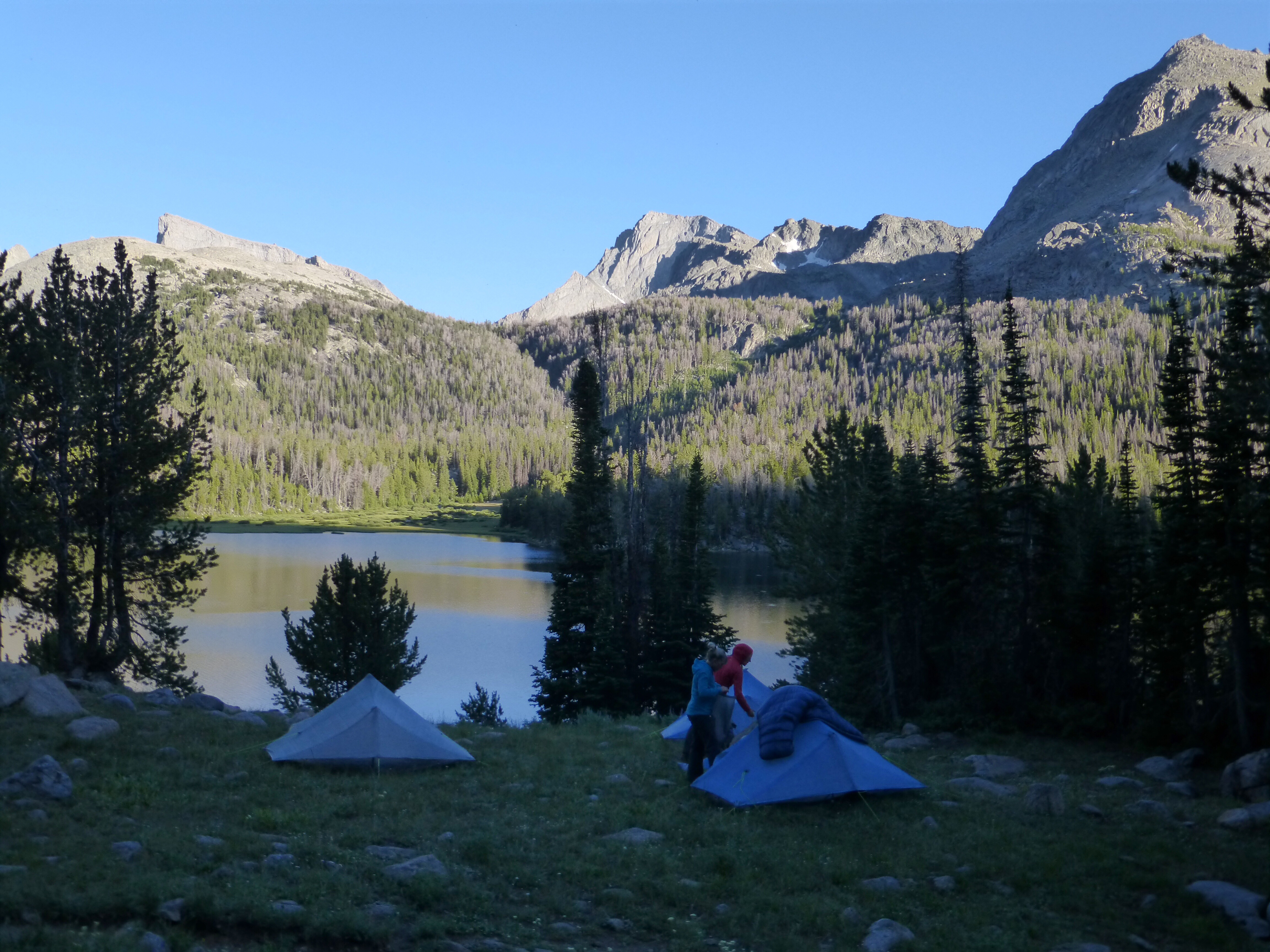
From Black Joe Lake was about a mile of some wonderfully cruisey trail down to Big Sandy Lake. We had dinner at the end of the lake to be safe about bears and hiked a bit further to setup camp just after 7pm above the lake just before the climb to our next pass tomorrow.
There are two things to note about where we are camped tonight. First, this is where we would start to overlap with CDT hikers for a bit into tomorrow, so maybe we’ll see one. This isn’t the official CDT, but this is the route into the Cirque of the Towers, which is a scenic alternate highlight for 90% of CDTers. We did have two day hikers pass our campsite today and those were the only people we saw today. The second thing to note is that this is the first section that the Skurka route will overlap with the Dixon/Wilson route. I know this information is important to those researching the two routes, so I will give my two cents, which is also the thoughts of all three of us.
We just spent two full days hiking to the point that is around mile 6 on the Dixon route. Would we say that it’s worth adding two days to the high route to do what we did the last two days? We all don’t think we’d recommend it to most people. The effort to reward ratio just wasn’t enough for us. There is an alternate route called the Coon Lakes Bypass to get down Wind River Peak and that may be much better. Even without that unnecessary descent, what we had the last two days was to start off the hike with 14 forested miles and a summit of an average peak (we were disappointed by the view), and walking by a few nice lakes. The good stuff starts tomorrow with the highly destined Cirque of the Towers. Dixon/Wilson’s route has just 6mi of nice hiking to lead to here. I’ll also add that these last two days pushed us beyond our comfortable carry limit of cumulative days of food, so we are doing a 9mi side hike tomorrow to resupply for the last 6 days. Without these two days, we wouldn’t have needed to resupply and this would have been a logistically easier trip.
I leave it up to hikers to decide what timeframe they have and what is worth their time and effort. Again, all I can give is our experience as it happens. We are really looking forward to the rest of this hike and it looks pretty grand from here on!





Hey, those photos are beyond magnificent.. that is one lovely area! Next time you’re unintentionally off route Erin, consider it just an excuse to be up there for longer…
Um, sorry, this is the middle of Wyoming, is it? A very wonderful place, I think I must go there
My friend and I are doing this at the end of the month and are very appreciative of the beta. Particularly because we did the SHR last year, the notes about the difference between Skurka and Roper’s directions is very useful. Good luck, and thanks.
Leslie – I’ll be interested to speak with Erin after she gets back, but I’m getting the sense that the key difference in Roper’s book and my WRHR guide is where we prioritized our information. Roper does not provide maps, but just a long written description (intermixed with interesting historical and geological information). If that’s the only thing you’re offering, it better be rich. The most useful resource in my guide will be the maps. They are succinctly annotated, and in most cases they are the only thing you will need to look at. On trickier sections, refer to the route description for more information. To help you plan your day, refer to the datasheets, but they won’t help you navigate. I can see why Erin et al struggled on the first day or two, when they’re accustomed to lengthy written descriptions and not getting much, and instead having to look more at the maps.
Great point, but I will miss Roper’s flowery (literally and figuratively) descriptions. Thanks for the insight, and keep up the good work on the high routes. It’s quickly becoming my favorite way to explore a place. I appreciate your efforts, and of those whose blogs I steal beta from 🙂
Don’t expect flowers in mine. To-the-point, but comprehensive. Any references to local geology and ecology are as much functional as colorful, e.g. “When you reach the terminal moraine, start rock-hopping.” Know what you’re good at, I guess.
Thanks for the encouragement.
One we got stuck on was “saddle the terminal moraine” just before Alpine Lakes Pass. Does that mean contour or just balance or something else?
It felt like Roper was reading our minds and it felt like a personal experience with him. He was guiding us not just over the terrain, but as a more wholistic experience. He set a really high bar and his is a rare guidebook that seems that it could read as a novel as well. Yes, your maps are great. It’s tough to know at times if the waypoints are generally placed on a computer after the trail or if they were mapped from the ground. We found ourselves resorting more to the GPS on the WRHR as we felt we were missing information or descriptions were vague enough to make us doubt ourselves. Our goal this summer was to use the GPS as little as possible, but we had more doubt than we felt comfortable with on the WRHR and resorted to it much more than we would have liked.
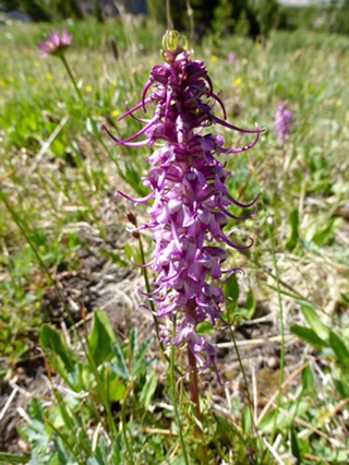
That wildflower is actually called Elephant’s Head aka Pink Elephants! Enjoy your posts and pics as always.
Additionally, the Dixon/Wilson route is posted free online, for everyone to use. Has a nicer feel of a cooperative backpacking community to it. =)
Great post. Loved the photos and the description of the terrain and beta.
BTW, forgot to mention in the last blog post, the blue hat looks good. Hope you have the little cape if the sun gets too strong.
Haha, yes I do Warren. You always notice the details. I do think I’m going to look for that hat in navy though. I miss my navy.
FYI – If I recall correctly, the Navy color (hat) shows up less in the photos.
“Details” -I am always looking for them because I want to learn from all you are doing. Your blog is a great resource for many of us.
Haha, you may be right about that…
Now that’s some talus walkin’! Wooo-eee!
Well done, ladies!
The good news is that there is nothing harder on the route than the West Gully. Some sections of same difficulty, but nothing harder, and none as long.
That gully after Gannett Glacier I found sketchy.
I’m not sure what is more entertaining the blog or the comments! I do find interest in the cartography information not only from a hiking perspective but because I make maps for my day job.
Catching up, looks like a great and interesting hike so far! I have to say, though, I think I liked last year’s hikes better but I know you’ve got the TA coming up and I followed my friends as they hiked that in late 2014 early 2015 and that was stunning.
I’ll be interested to see how you feel about all of the hikes once you’ve wrapped up for the year/season.
I know what you mean Misti. I too enjoy the stories of the trail much more rather than an account of one pass after another. I think Australia and New Zealand are going to be a good change of pace. Especially New Zealand. It is going to be a new kind of hike for me in many ways and will take me out of my comfort zone a bit, but in a good way I think…
I imagine the Coon Lakes bypass is a very good alternative. I have not done the bypass, but I hiked the trail from the Cirque back to the CDT last year, over the pass by East Temple Peak. It was very beautiful and a good Swan Song for the WRHR. Plus, as Ley notes, if you hike up to the top of East Temple there is a thing called the diving board where you can stare straight down 2000 feet – its awesome. plus the view from the top is incredible. Its not a 13er but I can’t imagine Wind River Peak is any cooler.
We are planning to hike from temple lake to black joe, I am a little worried about taller boulder fields requiring climbing. We will each have a kid on our back and I am wondering about the technicalities of that hike. I loved your detailed trip report but would love more of that specific stretch, if you have any. Please and thank you!
I am sorry, just seeing this post and hope all worked out for you. I’m assuming that question was for Matthew. I am terrible with names and places, so I can’t even tell you where that is or if it was on the WRHR!