July 31st
Iceberg Lake Pass(76.5)-Trail Lake Trailhead(94.9)
Mileage: 18.4mi
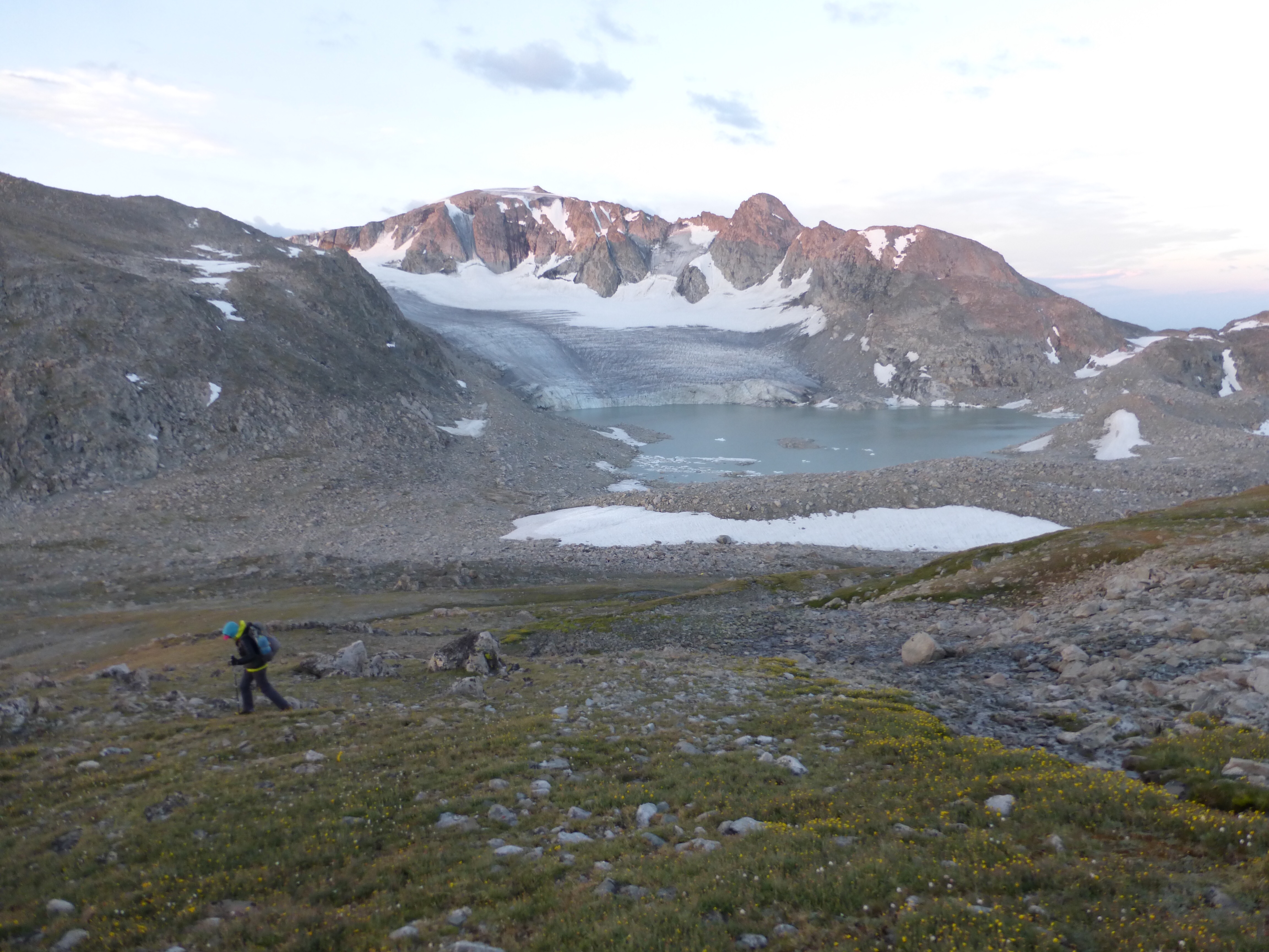
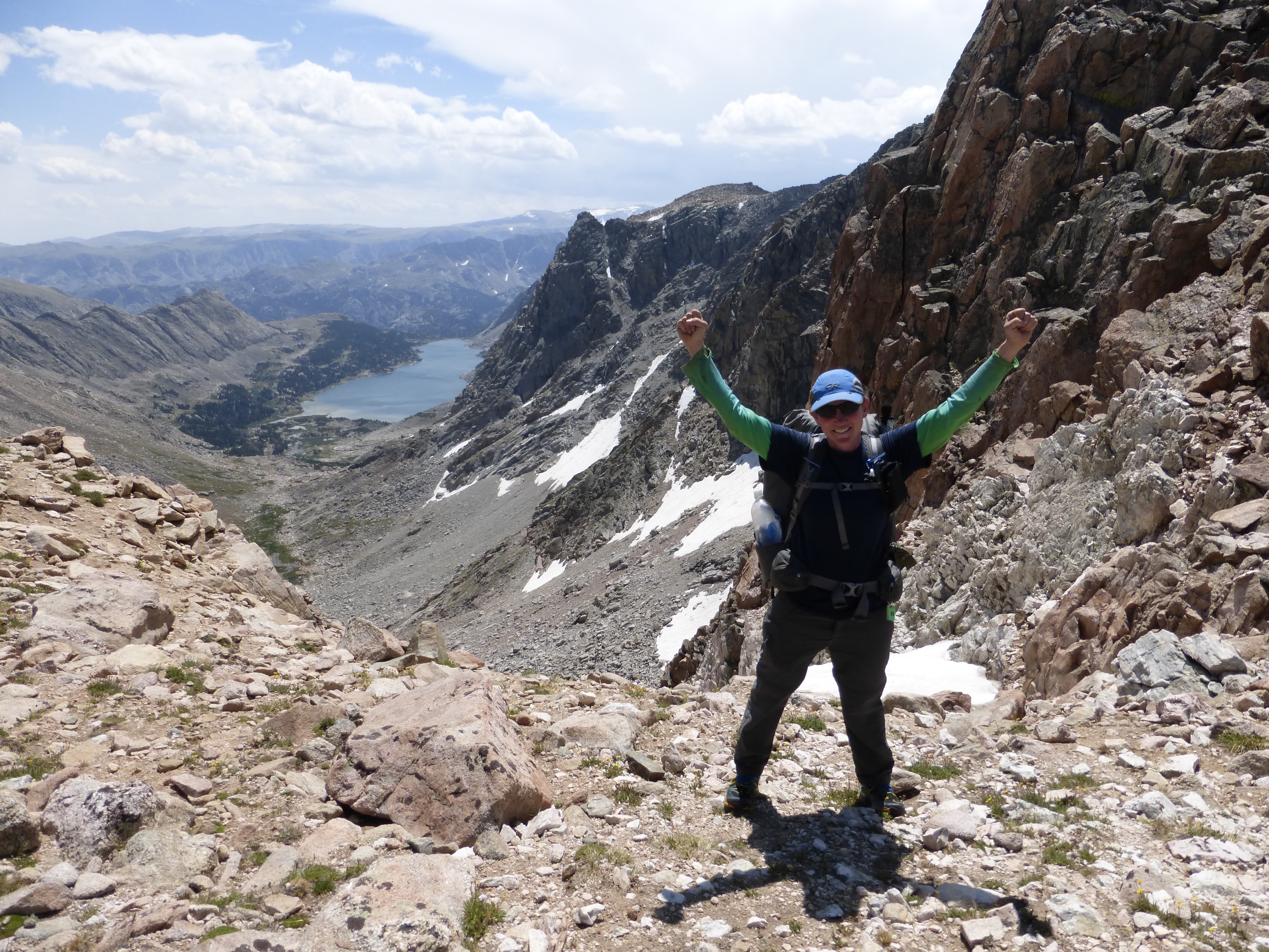
We woke up 18.4mi (11mi off trail miles) from the end of this route. Our goal was to make it low enough to have sheltered camping and we realistically didn’t think we’d have the time and energy to hike all the way out today. We had just one major obstacle for the day, Downs Mountain, the northern most 13er in the Winds at 13,350ft. It was about 2,000ft of relatively gradual climbing with a bit of every terrain mixed in there along the way. We did see one NOLS (National Outdoor Leadership School) group hiking up at the same time as we were on the the final stretch.
I think at this point, we’ve all seen so much this summer that it would take quite a bit to surprise us, so we found tagging Downs Mtn to be anti-climactic and more of a task. There was also a random talus pile that we walked by that was on the route for some reason for an extra 800ft, but we felt good about passing that one up as we were just about to get the same view going up Downs Mtn. Our minds were already on getting down and out of exposure after that storm that came through last night. Clouds were lingering and we didn’t want to tempt fate any longer than necessary.
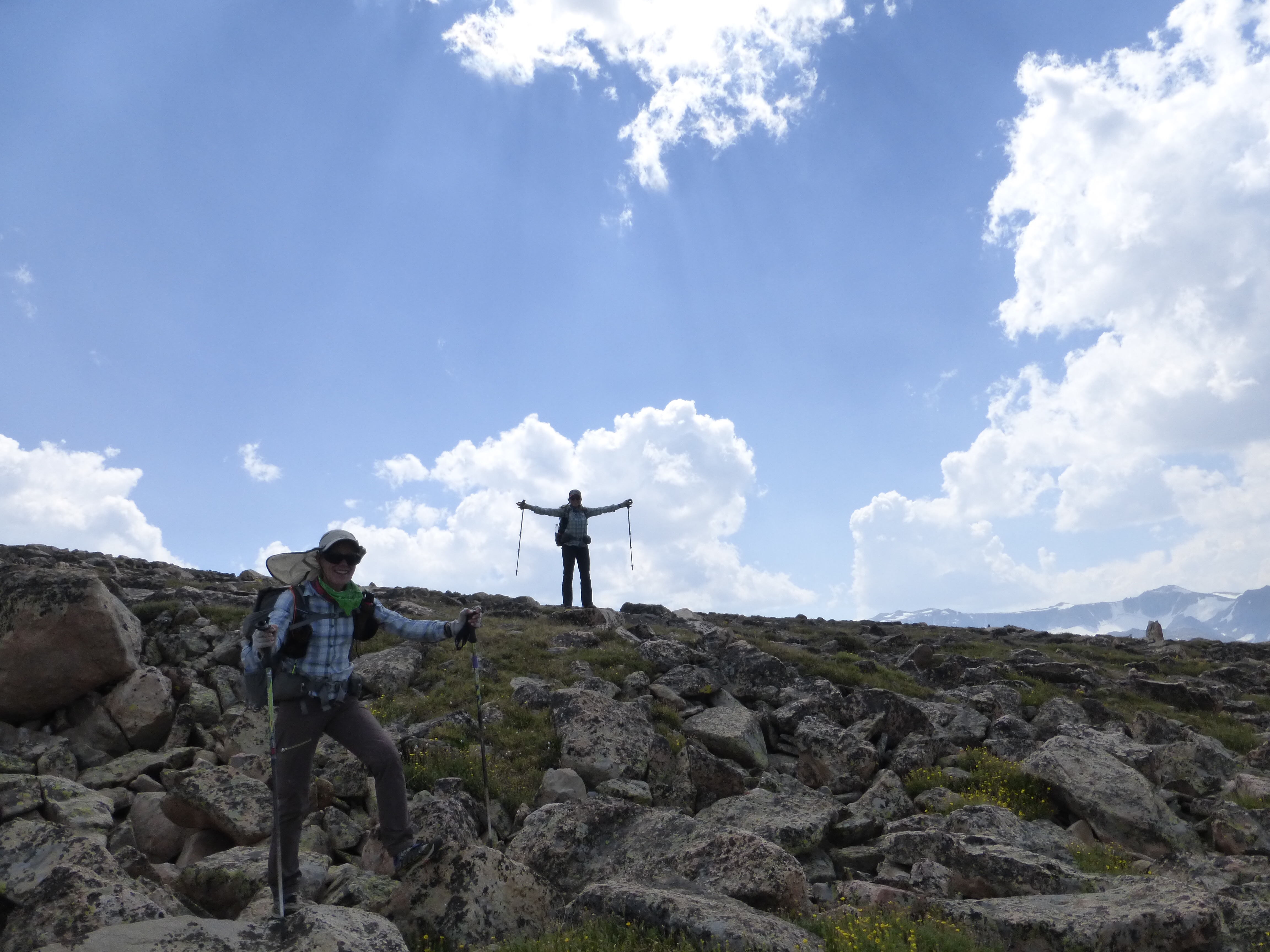
From Downs Mountain, there were some small ups, but it was pretty much 6,600ft of downhill hiking left to do over about 14mi. We hit our last pass, No Mans Pass, soon after Downs.
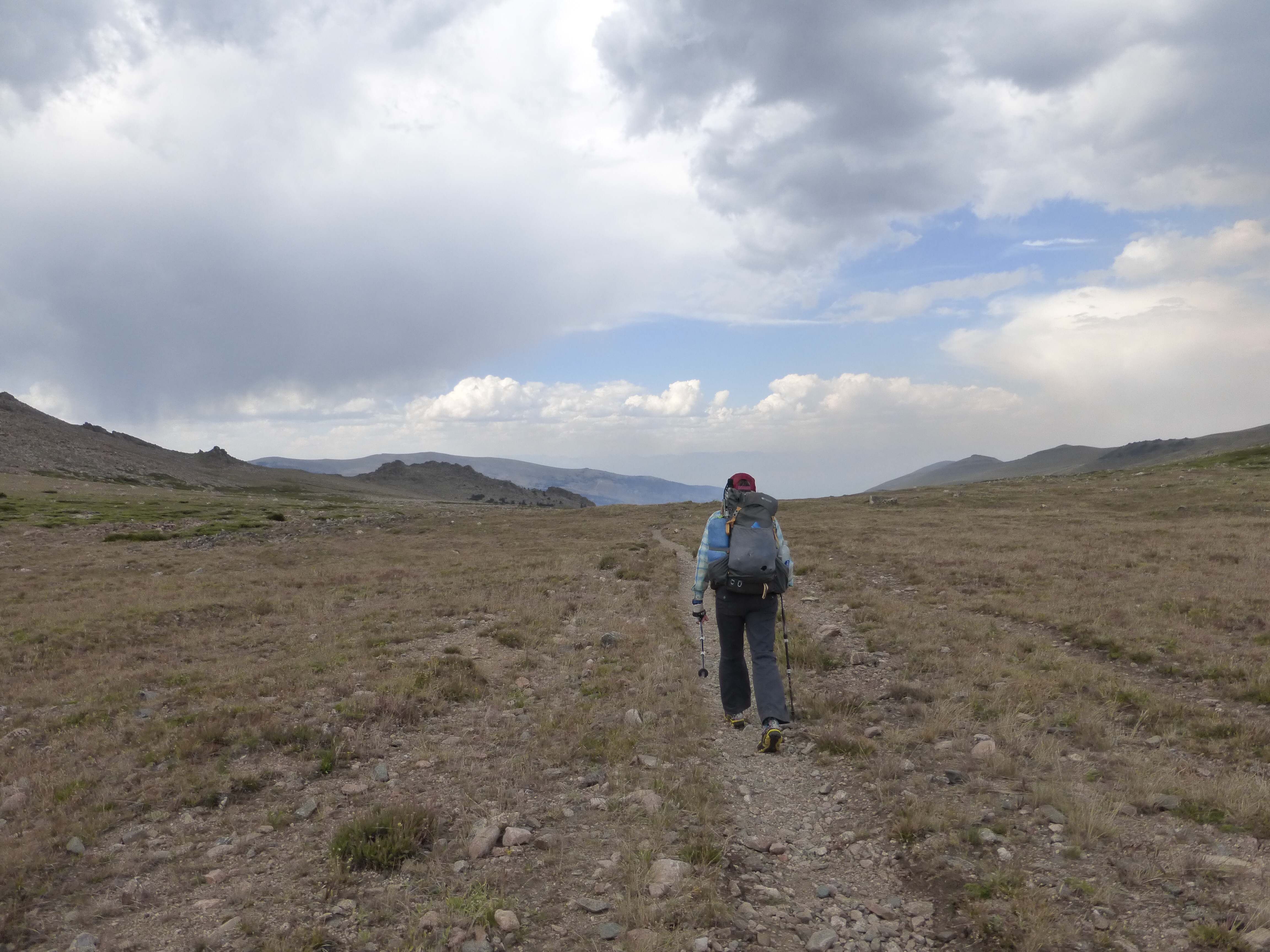
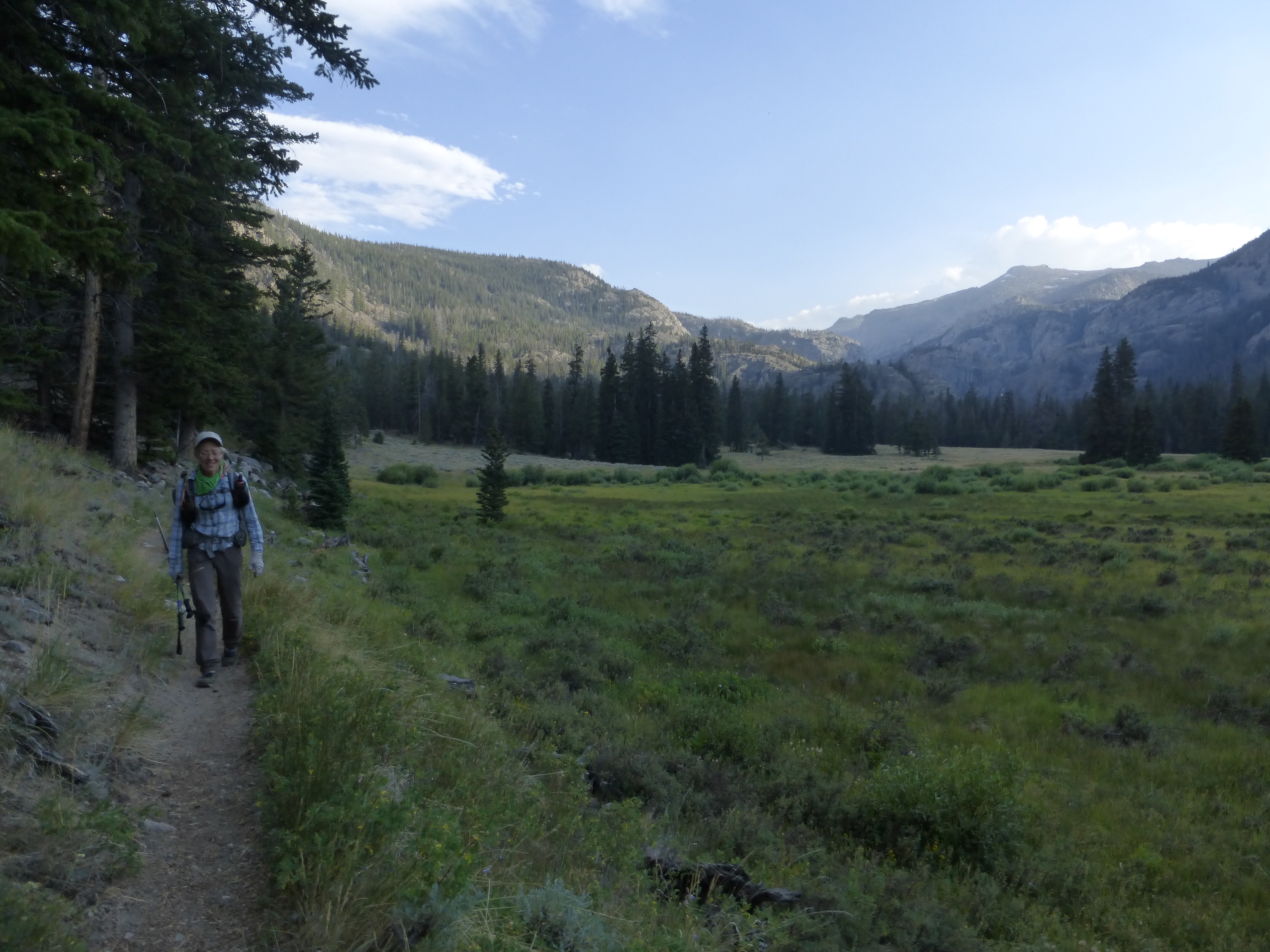
From the pass, we entered what is known as Goat Flat for a few hours. It’s a wide open area with rocks in grass that would vary in quantity and ease of terrain. Many find it to be boring and tedious since the exciting stuff is over, but I found it to be relaxing and enjoyable to have more of an extended time to build a rhythm and stride and go on auto pilot after so many days of technical draining stuff.
As we cut across Goat Flat, we realized that we were on pace to actually finish today! It would be evening, but we’d be done and in a hotel tonight if we stuck it out. That was just the carrot we needed!
We hit the Glacier Trail and cruised down, mostly on gradual switchbacks to the trailhead. Just as we were starting the Glacier Trail, we had some sprinkles that thankfully didn’t do much and passed.
From there, we were able to get what we think was the last available room in Dubois. Whew, it’s done! These last few days have been a blur really. This route is a perplexing one to wrap up. Basically, the Winds are a great place and should be enjoyed. It felt very unnecessary at times to do all that we did. Yes, the photos can look amazing, and it seems adventurous, but think about the hours of effort that goes into getting to that one moment. I think that there are very few that will find this to be a great fit for a thru hike. Am I glad I did it? Yes I am. Would I like do it again? Certain parts, yes. Would I return to the Winds and experience it in a more relaxed manner? Yes!
If you’ve read all my entries, you know the guidebook isn’t professionally done by Skurka. These last two days had us questioning his judgement on some things and feeling like we couldn’t trust the safety of the route. There were many typos or mix ups in the materials for the last section that showed that it hadn’t really been reviewed and that worried us. The lack of quality of the content of the guide in such a risky area made us lose confidence in our guide. It seemed like Skurka just got tired and stopped describing anything. There were many many sloppy mistakes and we questioned the reasoning of the routing at times. We had little context by which to plan our timing. In such an exposed stretch, I think it’s imperative to have more detail as to the type of terrain and how long it would last so we could plan accordingly. The feeling was that we were hitting things briefly that look good on paper and in photos, but feel unsafe and exhausting in reality. That’s my honest opinion and people can decided for themselves where their tolerance level lies in the effort to reward ratio. Coming back to do Dixon/Wilson’s route interests me as I’d like to see things I didn’t on this route like Titcomb Basin, Europe Canyon, and Knapsack Col. The Winds are an amazing place and there is no reason to rank one experience over another or state one as inferior to the other. It’s just a matter of personal preference.
I know I’ll be getting many questions from people as to what I’d recommend when combining/comparing the two routes. I haven’t done all of both, so I can only speak to what I’ve done, which is all of Skurka’s route, and where I’d note a few things I might have done differently to make it a better experience. For anyone seeking another great detailed report on Skurka’s route, here’s a link to Spiderwoman’s WRHR Tips posted on Skurka’s blog. These are listed in order going south to north.
-The first two days, the miles on Skurka’s route before meeting Dixon’s (14mi of dusty forest and summiting Wind River Peak to go down a sketchy gully) felt unnecessary and not worth the time/effort. There is an alternate way down Wind River Peak that is safer that we didn’t do (Coon Lake Bypass) that may have made me feel differently about the whole thing. Taking the west gully down Wind River Peak is just playing with fire waiting for a rockfall to seriously hurt someone and doesn’t take you anywhere worth that risk.
-The 3rd day we had to choose Texas Pass or New York Pass and chose NY because it was new. Having done both, my personal thought is that I saw more and expended less effort doing Texas Pass, but if you’re looking for a more challenging off trail kind of hike for kicks, head over NY Pass.
-On our 4th day, we hiked in a great canyon up to Raid Peak Pass. Dixon/Wilson’s route stays high on this canyon and enters it later. I haven’t done it, but our experience being low with the mountains around us was one of my favorites.
-On our 5th day, our route took us over Photo Pass. This felt extraneously tiring after just completing two passes, and may have preferred to stay low for a bit on the D/W route instead. The reward just did not meet the effort on that one for me and felt more punishing than enjoyable.
-On our 6th day, we did not go down to Europe Canyon on the D/W route, but hear it’s great. We quite enjoyed the Europe Canyon summit and being up on the Divide with easy walking. That one is a toss up and will depend on personal preference what you might enjoy. High on the Divide or lakeside in the canyon with mountains high around you.
-On our 7th day, the back to back of Douglas Pass and then Alpine Lakes may feel exhausting for some. The D/W route does have a lengthier route around the pass, but it too has quite a bit of elevation. Again, not sure on that one.
-Days 8&9: Hmm, I don’t know what to say here. The D/W route (we didn’t do) I hear is just awesome to go over Indian Pass into Titcomb Basin and Knapsack Col. It’s a great option. Maybe we would have felt better about our last two days if we hadn’t done the first two and didn’t feel so ready to be done at that point. That’s a tough call. Those last two days on Skurka’s route feels very pushed and is difficult to enjoy at the end. The last day just felt long and drawn out and not sure if it was worth the efforts of that monstrous 8th day we had to pull.
So that’s my thoughts on the options, but bear in mind I haven’t done many of the other options. We will spend the next two days driving down to Rockin’s in Tehachapi and then I’ll have two days there before I set off for the Kings Canyon High Basin Route on Aug 5th. Why Not is headed home and Rockin’ will be going back to work (teaching). Again, I have to mention how impressed and inspired I’ve been to see these two pull off such mental and physical endurance over the last six weeks. Thank you to them for tolerating the schedule, routes, me, and both my endearing and no-so-endearing quirks. I’m sure that in itself is a test of endurance!
My hiking partner for the KCHBR will be E who hiked the GDT with me last summer, wahoo! This route is another somewhat new one from Skurka that I am currently very apprehensive about given this last week. Forums have listed many concerns about the route and some changes have been made. I still have a couple days to really assess the route and do some homework, but it will be interesting to see how it goes over almost 2wks of hiking. I do want to say that I appreciate Skurka’s efforts to find new routes that are challenging and hit more remote places. I just want to feel more confident that I’m being guided there to experience something worth the efforts. Not just to have another notch on my belt or claim to have done something superior. These things really shouldn’t be ranked and it’s the idea of one-upping other routes or needing to be crowned the best that can seem to detract from the overall goal of creating a great outdoor experience and cloud judgement when it comes to safety. I’ll get another post up on that route before we set off. The journey continues!







Congrats on the finish…what a ride!
And congrats on some great editing!
Great work all.
Wired, sounds like we need to chat about the Guide. Surprised by your comments and will be interested to get more specifics and to better understand your expectations.
You stated in this post that you wanted to better understand how long something would take. Did you see on the Datasheet the time column? They are my times, but you will be at some consistent fraction or multiple of it.
I agree with some of your route deliberations. Most are unavoidable. For instance, if you want to Europe Peak, it makes sense to do Photo Pass (plus, the other side is teaming with elk as you found). You pick your poison on Camp Lk v Douglas Pk Pass. And your logistics this morning are way easier since you started on the east side and went over Wind River Peak (which I think has a much better view than you gave it credit for). In these cases and others, i tried to include the info on alternates so that you could make the best decision at the time. Frankly, I am extremely impressed that you followed the route exactly; I would expect most others to deviate more.
Re the KCHBR, overall I would say the travel is easier (up to Class 2+, no Class 3 loose crap like West Gully) but it does have some additional up and down per mile. No way to get around that — the passes are as high or higher than the JMT, but cross the valleys lower down. I would look at how much vertical you did per day here, and expect about the same on KCHBR. Horizontal mileage is nesrly irrelevant.
Yes, we should talk. I think you have a good concept going, but the devil is in the details and there are some rudimentary mistakes in numbering and data that were double checked or missed. It was fortunate that we got weather and time to do the whole route. The only thing we intentionally skipped was the last day where there is a talus pile to tag over 13,000ft just a bit before going up Downs Mtn. We didn’t get why that was added and weren’t in the mood to go up and down an addition 800ft there before climbing Downs. I did look in detail at the KCHBR stuff and am stoked to give it a go. I am concerned about King Col and have seen the photos (ball bearing rock downhill stuff is not fun at all), but I think the rest I’m excited about. I do want to give credit where credit is due…both good and bad. Thank you for giving all this a go. I think you’re on the right track, but things could be tightened up a bit and sometimes less is more. Having a break to let things marinate sometimes helps. The back to back to back stuff can tire the mind and body, but I think your athleticism may hinder your sight on that a bit. You are a great athlete, but you have to remember most can’t comfortably pull out such mileages and elevation gain in a day. I know some of that is unavoidable, but some of it could be minimized.
I am now fantasizing about floating goats .. with packs, of course.
Haha!
Congratulations on the finish of another great hike. The pictures are incredible!! I certainly admire your stamina!! On to the next adventure!
congratulations on finishing another one.
Glad you enjoyed the Winds. They are my favorite range in the lower 48 for sure. Having been through all those areas many times over the past 40 years, I really enjoyed your pictures and comments. Like all routes, there is something to like for everyone. I like things from both routes but don’t spend a great deal of time with guide books preferring my own approach, it’s more exciting that way for me and makes it a greater adventure.
I like to be up high and stay there for as long as possible and prefer to use the established trails only when I have to do so. My preference for a High Route would be to go in at South Pass and out via the Glacier trail. Between those two points I would loosely follow the D/W route headed north, taking Little Sandy over Temple and up, but take Bonney instead of Knapsack and then more or less follow the Shurka route. On the D/W route, once you drop off Knapsack and down Cube rock pass, is just a trail pounder to Green Lakes. I know you like a forested trail at times but it becomes a bit boring for me.
For most, the logistics of the D/W make it a more likely candidate, but I would hike that north/south as I would prefer to end with the Cirque and then an early walk out in the am to Big Sandy.
The great thing is how you can mix things up and hike your own hike. That is probably why I am not a big fan of detailed guide books or GPS, although I must admit GPS would have been a huge time saver on the CDT in 1984. It was more of an idea at that point than a trail or proposed route, but it was an adventure.
Looking forward to hearing from you on your upcoming adventures down under. I have hiked in many places around the world but not in Australia or New Zeland. If my body can hang in there perhaps at retirement, after I finish the CDT from I-34 in Colorado south the Mexican border.
Nice observation John. Yes, the Winds are a fun place to just create your own and go with it.
Well, congrats on an early, well deserved finish. Go!Erin!Go!
I’m glad the A Skurka has chimed in. You all talk so non-chalantly like this is so easy. I know we all get how difficult this was though, no matter what route was taken. I do know it is above my skillset too but I sure enjoy reading about it all and sparking the thought of maybe someday trying an off-trail adventure.
It is intimidating at first, but you get the hang of it. We’ve seen people out doing loops of just a few days and there are loops along the SHR you could give a shot. If you’re interested in recommendations for a long weekend loop to test it out, just email me.
Congrats! Loved following this trip (and all the others, of course!) and thank you for how honest you are about the challenges you face. Best wishes for the next one!
Thanks Sonja:)
Congrats once again to the three of you!!! Can’t wait till you get back on some regular trail cause all this Talus is making my feet hurt just reading about it. I must say a job well done by stepping out of your comfort zone. Thanks for continuing to share your journeys with us.. Enjoy the Kings and be safe..
” Just Bruce”
I’m really looking forward to the Wonderland Trail in a few weeks! I think my feet and mind will be ready for the break!
Your body won’t know what to do! You’ll have to really talk to those legs to slow down. Your feet will thank you.
Thank you Just Bruce! It’s been quite the transformation indeed as I wondered if I’d ever adjust to this type of hiking. It’s pretty incredible how it just became routine and habit over time to go over this type of terrain. Definitely pushed myself out of my comfort zone in a good way on this one!
Wow what a hike! Since you didn’t bring bear canisters and you used ursacks and opsaks did you hang the ursacks off boulders above treeline or just leave them on the ground? I am heading to the Winds in a few weeks and I am struggling with the canister or ursack dilemma.
Good question. It was my first time using one and I wanted to hang when there was a tree (once) and the rest of the nights it got tied to a trunk, base of brush, or somehow through a hole in a rock. I never did get used to just having it laying out in reach of a bear though.
Hi Jim, sorry for the delay. Good question. There was usually a solid tree near where we camped, but a few nights I found a way to tie it around rocks in the ground that had holes I could thread it through. Go with the Ursack for sure!
Well done!! We really enjoyed Dixon and Wilson’s route, though it’s interesting to read about Skurka’s. It sounds like a well-planned combination of the two might be fun!
Regardless, y’all have done a kickass job at completing so many routes lately, and I am excited to hear about Kings Canyon.
I really hope we get to see you at Roads End!
Lengths of love!!
Erin, I’ve tagged along with you on all of the walks you’ve done since the beginning of the Appalachian Way, and what wonderful fun it has been .. but of all of them, I think this one has had the best scenery, and the mountain slopes, passes and landscapes that I most relate to, and would most enjoy myself.
One day I will come over there from England and walk a bit, and this route would make for a great time I think.
Thank you, for teaching me so much about the great American outdoors!
Aw, you’re welcome Jerry! And I will be headed your way someday as well. So many endless possibilities out there.
Although I like the anticipation of the daily installments, this was a great binge read and perfect timing for my return from a much different kind of trip. After spending time doing a bit of hiking in this type of terrain over the past few years, I know exactly what it takes. I truly can’t imagine sustaining the effort for the miles and days. It’s really tough on the body and mind. Route finding in itself is exhausting.
What an opportunity and accomplishment for the three of you. So proud to call you my mentors. Such great role models!
P.S. Although it looks like you mostly had clear skies, it looks like I made a good decision to skip the Winds for now. I’m still going through withdrawals especially after seeing your photos. With my asthma I just couldn’t risk going into an area with nearby fire and smoke. When I reconnect with my computer, I’ll have to share the screen shots I took of the smoke/fire map and how it was blowing over the winds. It’s a great resource.
P.S.S. I also want to commend you for the depth of info you provide for FREE! I have a friend who berates me and others for “giving stuff away.” I call it sharing! In fact you’ll appreciate this, I was stopped on trail a while back by someone asking about my Dirty Girl Gaiters. After chatting for quite some time about various topics, he said “are you an educator.” While I’m not by trade, I have always shared knowledge.
Erin is a fine person, and a sharer by nature. “Giving stuff away” as that person put it, is normal and it is what we all do, as a matter of everyday life .. we are all educators, as far as we can or want to be. Those who aren’t, or who won’t, should be encouraged to ..
I agree. The person I referenced is trying to make a living “selling it,” thus the reason for her snarky comments. Furthermore, she doesn’t want all the secret spots shared. I understand and value that sentiment. When blogging I try to keep that in mind. The “Find Your Park” campaign has made the heavy tourist season a nightmare season.
Sharing is a very good way of putting it Jerry and Beekeeper. I have done this type of documentation of life happenings for years before blogging and it’s just a natural sharing of what I do, and for me, makes the experience richer. There aren’t ulterior motives involved or hyperbole for the sake of profit. Just days as they happen…exciting, tiring, boring, mellow, inspirational, etc.
This is the resource I use for monitoring fires/smoke. On the bottom left is an option for fire and it’ll mark the smoke options automatically.
http://www.wunderground.com/auto/preview/wundermap/?lat=40.32980&lon=-122.46460&zoom=8&type=ter&units=english&rad=0&wxsn=0&svr=0&cams=0&sat=0&riv=0&mm=0&hur=0
Interesting set of comments. I think as long as we live, that is as long as we should keep experiencing, learning and sharing, teaching… I love finding resources which I may possibly need, or not, but which I can share, pass along to others. I love doing this can never stop advocating for people.
We are so powerful when we support each other, enhance each other’s lives.
Great to read all of this at once, Wired. I’ve done a couple trips to the Winds in the past month: Wind River Peak from Bruce’s out and back, and Skurka’s Loop 2 section: Big Sandy TH to New York Pass to Deep Creek Lake to Wind River Peak to Black Joe to Big Sandy TH.
For doing the whole WRHR, I find the D/W trailhead logistics really annoying, and all the options are either very time consuming. You can do a car shuttle, but probably only if you hike with another person or if you have a lucky friend who lives in the area and wants to drive you around for a few hours. Or you can pay for a shuttle service, which was super expensive. On the other hand, Skurka’s route should be a relatively easy hitch on the East side trailheads, which solves all the problems of doing the High Route solo, or if you’re hiking with a friend at least the shuttle isn’t as long. I don’t know why Skurka’s route starts at Bruce’s when Sheep TH reduces the unnecessary forrest hiking miles and it’s on the same road. On the first trip I made the summit of WR Peak from Bruce’s in a day, but I was wondering why I had to walk so far through the woods to get there!
So I’ve done Wind River Peak twice in the last month and I think the views are awesome as a way to start the route. Maybe you’re just getting a bit desensitized with all your summer High Routes shenanigans? 😉 The NW gully did suck, and we had a borderline bad-situation with one of my hiking partners having some more serious altitude problems and trying to descend that gully, which does demand a fair bit of attention. All in all I think descending it solo or with one other competent person would be the best situation. I didn’t think the risk of random rockfall from above was that bad, just rockfall from other people. Luckily it all worked out and I got the best cowboy camp spot I’ve ever had in the creek-valley above Black Joe. I thought the entire valley below the gully was awesome. It was fun off trail travel without any navigational worries (just keep going down stream) and the views were good. So that made the NW Gully worth it for me, but maybe not enough to repeat it.
I have WRHR plans for the future and I think I’ll take the Coon Lake option. I am not sure how many miles it is but I’d rather take some (mostly?) cruiser trail the long way around than descend WR Peak like that again. Plus then you still get the East side logistics that are easier.
Keep on rockin, it’s really awesome to see someone writing about high routes and really writing their reports to make it easier for others to plan their own trips. I would love to see your improvements get implemented in Skurka’s guide.
Erin,
I came back to this post again since I’m strongly considering using this route instead of from Green River Lakes TH so my car would be on the east side of the range in case I need to bail out the day before the eclipse for a nasty weather forecast to get to the plains.
I have to say I was rather shocked it took you ladies 14 hours for 18+ mostly downhill miles! I would have thought Goat Flat & Glacier Trail would have been relatively easy compared to what you’d already done. I wouldn’t be bothering with Downs, but had figured it would only take me 10. Now I know it will likely be 14+. 🙁 Hopefully, the forecast will be stellar though!
If you do happen to read this, how good is the road to Trail Lake TH? I’ll be driving a low-clearance Prius.
Hey! I hope you get great weather for this! Hm, I was in a jeep, but recall the road being just slow gravel. There was a lake with families there. If the road got worse after that I could see you easily parking and getting a hitch further.