February 11th
Highland Creek Hut(1624.9)-N of Arrowtown(1644)
Mileage: 19.1mi/30.7km
Campsite Elevation: 2012ft/613m
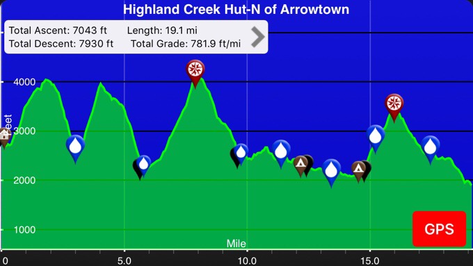
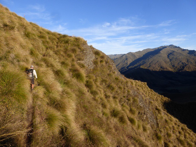
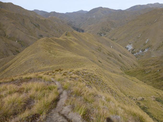
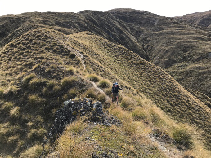
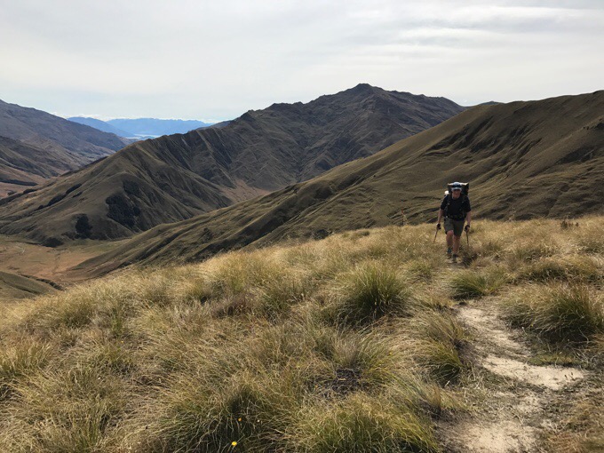
I feel like today was a lot of the same with great views and ups and downs. Some ridge walking and mostly clear trail that we could get a good pace on. There were even graded switchbacks in some places!
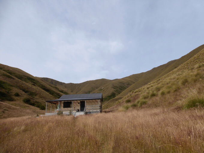
The cool thing about today was that it was split into thirds. Each third had about the same distance of 6mi/10km, but the estimated time went down for each one, so they got consecutively easier. I’m giving times here because I know others find it helpful when gauging off another blog and we found little references on other TA blogs as to timing in this section for those wanting to attempt a longer day. The estimates tend to be quite conservative, but we have trail legs now, so we tend to be 20-40% faster than the book time. It was great to get the first section to Roses Hut done while we had cooler morning air and fresh legs. It was estimated to take 5-6hrs, and we made it in 3:18, which was a great way to start the day.
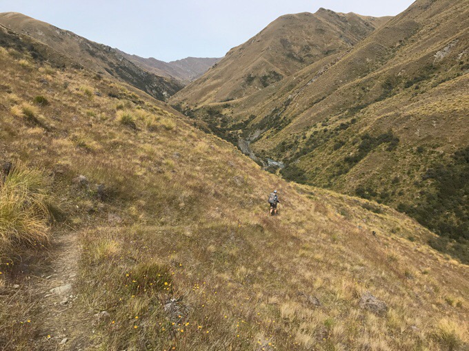
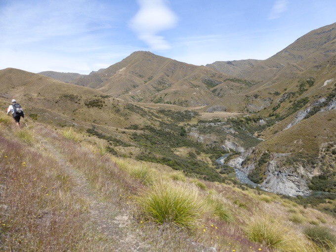
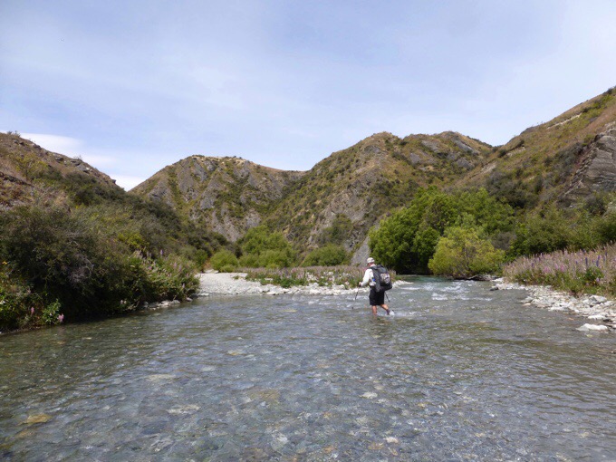
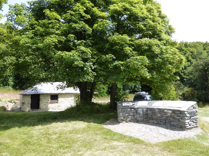
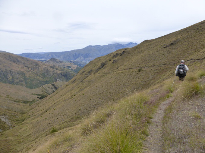
After a break at the hut, we headed towards the old abandoned gold mining town of Macetown. It was estimated to take 4-5hrs and we did it in 2:31 (not counting the lunch break).In the middle of that stretch we stopped and had lunch next to Arrow River. We saw two other hikers that didn’t appear to be TA hikers during the day, but no others the rest of the day. There is an option to follow Arrow River or take the track that sidles above the river. Some say the river is faster, but we’ve had our fill of days crossing a river in a valley, and chose to stick to the track. There was some brush and sidling to begin with, but then it benched out and was really cruisey.
We feel like it would have been faster than staying down by the river. We got lucky on that choice! At the bottom, there was still some walking crossing the river many times, but it was enjoyable and quite shallow, so it felt really nice. We even came across a couple skinny-dipping that probably thought no one else would be out there.
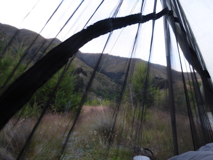
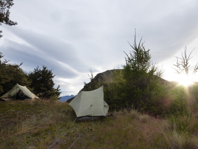
The final third had us doing one more big climb up and over Big Hill Saddle. My body was definitely glad it was the last up and down.The book time is estimated for 4-5hrs and we did 2:58. We were so early finishing the day that we would have liked to hike more to get closer to Queenstown, but ahead is a very residential area where there is no camping for the next 30km. It was 4:45pm, and we found a great secluded spot over looking Arrowtown, so we called it a day. Whew, what a day!
This positions us to get into Queenstown tomorrow and check into our hotel in the early afternoon hopefully before forecasted rain is to begin for two days. Again, we have managed to nail timing and thread that weather window. The front coming through will bring colder weather and rain for two days. As soon as we sat down at our campsite, we took an hour and a half to go over options for sidetrips and what to do over the next week or so. We looked at weather, and nothing looks good for two days, so we are accepting a double zero and realizing how fortunate we are to not have had this happen any time on this hike. Neither of us have had to take a zero for weather. It is weather that could be hiked through, but since these are great side trips, and we have time, we are choosing to wait it out. Here is our plan.We will arrive in Queenstown tomorrow. Then we have booked a bus to the next trail town of Te Anau where we will double zero the rainy days in a quieter, cheaper town. From that town is the launching point for the Kepler Track, one of New Zealand’s 9 Great Walks. There were actually openings for campsites, so we were able to book the Kepler for the two days before Becky’s birthday. We will finish the Kepler on the 16th and have a bus booked back to Queenstown to then celebrate Becky’s birthday (with some kind of bungee or swing, eek!) on the 17th. From there we will see how weather looks (looking good for now!) and Griggs and I will hopefully be able to do the side trips around Mt Aspiring National Park that we couldn’t do when we went to Wanaka. By the time I finish those side hikes, Becky and Tom should have worked their way down to Queenstown via the Te Araroa and we will do the last two weeks of the TA together.
Griggs will be with us through the birthday celebration probably, but will wait to see how weather looks for anything after that in Mt Aspiring. He will most likely continue on the trail at a more steady pace once I join Becky and Tom at a more relaxed pace. He also had these side trips planned for after his hike. Since we are having fun hiking together, he is willing to take the double zero (he hardly ever zeros!) to do the Kepler Track and bday jump in Queenstown. He figured he wanted to do this stuff anyway and it’s more fun together, yay! The two of us are definitely on a roll hiking together, so I’m happy to keep that good mojo going.
As for the double zeros, it’s going to be perfect for me to research Tasmania and get my itinerary down for that. I need to book things and flights for March/April. I’m open to suggestions if anyone has been there and has any. There isn’t one long hike there, so I’ll be doing shorter backpacking trips and touristy things. Exciting! Great Day 100!









Congrats on the big 100.
Sidling is a new word for me. Is it side hilling?
Yes, the trail out here that isn’t benched on a side hill and angles downward on an edge like you could always fall off. Yep:/
If my bank account sidles, would this be a good thing?
Hmm…I don’t think I’ll ever view sidling as a good thing again.
Tassie bushwalking suggestions
Penguin Cradle Track: 4-6days to get you to Cradle mountain
Overland track you booked already
Port Davey track combined with South West coast track (will require some Dinghy rowing) possible to include side trips if you can/want to carry over 10days of food
Also possible to do a challenging loop in the Eastern Arthur range (same start/end spot as Port Davey + southwest coast track…if you have a car or way to get someone to bring out enough food…i would suggest get to Port Davey trail head (going Sobo) with 15days of food then from there…start with loop in Eastern Arthur range then pick up remaining 10days of food and Sobo port davey+southwestcoast track
Oh man, hmm.
I’ll add all this to the research.
The photos are “perfectly” amazing today. The TA is redeeming itself!
Sweet! I did that post while walking this morning and was sure there’d be mistakes!
For tassie the Western Arthur’s are the most scenic but one of the hardest. Mt Ann circuit also down there is awesome an can be done in a two day an two hour walk. For something different try the Tasman coastal track and complete the circuits out to the two Capes (but not the commercial walk of the 3 capes)
Thank you:)
Cool, thanks!
For Tassie, the earlier suggestions are good, though I’d stay clear of the Eastern and Western Arthurs as they are very hard. Your biggest problem will be difficulty restocking in remote locations, and hence carrying large food loads. Here are my suggestions (I can send you gpx files for the walks if you want):
– Arrive in Devonport (by ferry from Melbourne) or Launceston, stock up on food there, and take a bus to Penguin. Then do:
– The Penguin-Cradle track (4 days). But beware of some tricky sections (see photos at http://tasmania.bushwalk.com/forum/viewtopic.php?f=9&t=1079) and that there’s a lot of damage from floods mid last year).
– The Overland Track (5 days), doing as many side trips as you can, including Cradle Mtn, Barn Bluff, Mt Ossa, Mt Pelion East, Mt Oakleigh, Pine Valley, The Labyrinth, The Acropolis, and possibly Mt Olympus.
– Then head to Hobart (or New Norfolk) to restock, and make your way to the Gordon River Road, turning off and taking the Scotts Peak Road, either to Mt Anne (to do the circuit) or all the way to the dam.
– The Mt Anne Circuit (3 to 4 days) is superb, but be warned about the vertical exposure encountered at a couple of spots (the Mt Anne climb and the Notch along Mt Lot). Even though you end up only a 7km road walk from the dam, you’ll probably need to return to Hobart to restock as the next bit involves carrying about 10 days of food.
– The Port Davey track (about 4 days) from Scotts Peak Dam to Melaleuca. There is the alternative of flying to Melaleuca by light plane from Hobart.
– The South Coast track from Melaleuca to Cockle Creek (about 6 days).
Thanks! I’ll look into it!
I loved Arrowtown. Queenstown – not so much. Te Anau was better. Have you tasted Hokey Pokey ice-cream yet? It is only in New Zealand so give it a try when you are there. I glad to hear you are planning Tasmania. You will love it.
Becky and Felix really like it. I’ll have to try it. I’m too attached to chocolate.
Do it for the Whales.
Aw, the poor whales:(
Really???? Who would steal someones pack. Out there in the middle of nowhere !!! That is awful.
It was off the TA and near a road unfortunately.
100!!!
Congrats to you and Griggs. Great looking trail out there. Except the 15k of gain/loss. You two are total motors.
I’m sure Cam/Swami has some good advice also. I don’t know how much bushwhacking you’re in the mood for 😉
Pshh, yeah we definitely have different ideas of “fun.”