August 30th
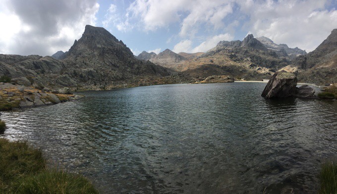
Lac de Fenestre-Near Col de Raus
Daily Mileage: 17.4mi/28km
Approx Total Mileage: 365.4mi/588km
Campsite Elevation: 6890ft/2100m
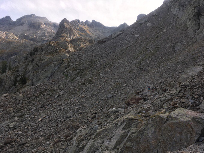
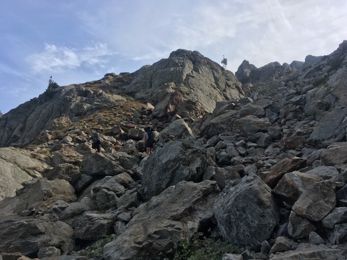
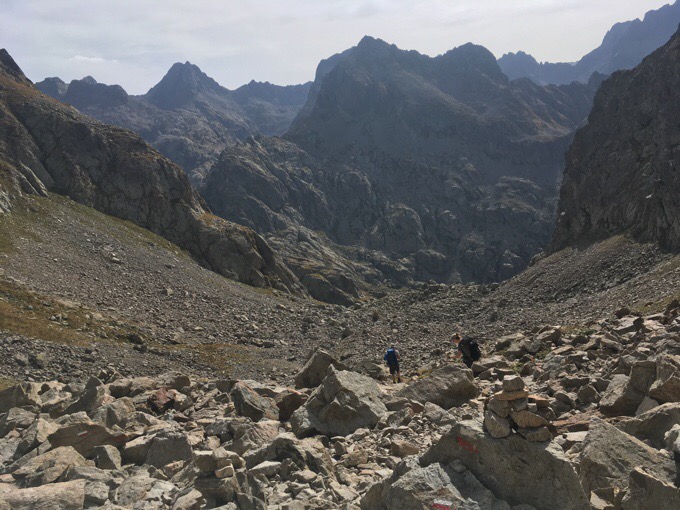
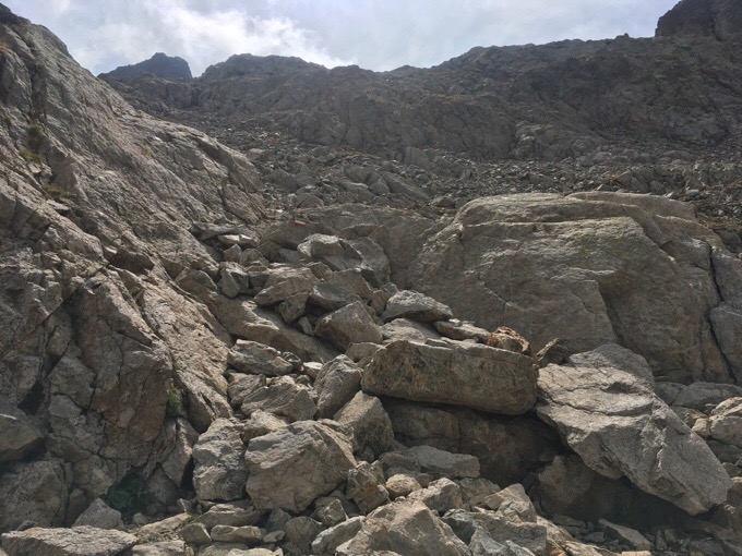
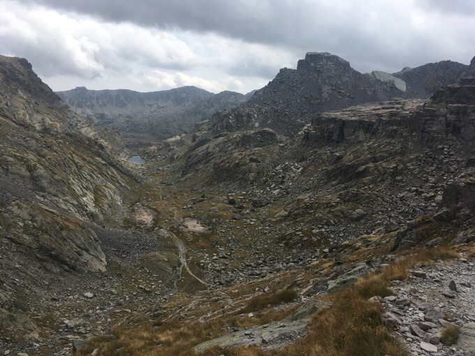
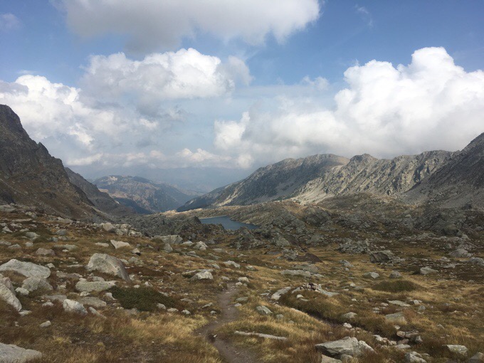
Last night was great. I’m impressed with how little wind there has been on this trail. Last night it was so calm and quiet that it was easy to forget I was even sleeping outside. I got going by 7:30am knowing that afternoon rain, and possibly thunderstorms, were forecasted. I knew I had some rocky exposed terrain ahead, so I wanted to get through it before the rain came. The theme of the day was ROCKS! Not my favorite terrain. After a nice descent down to the refuge and church at La Madone de Fenestre, the rocky climbing began.
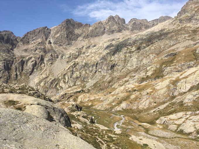
I’m still on the GR52 variant that takes me to the end at Menton instead of Nice. Today was mostly in Mercantour National Park, and it was quite scenic…when I wasn’t busy looking at my feet.
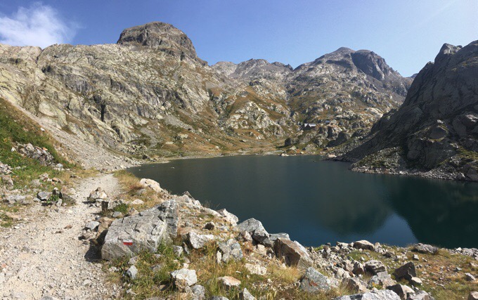
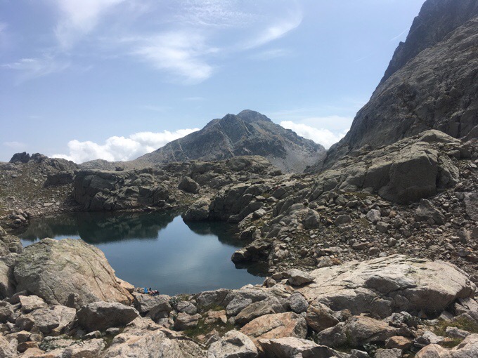
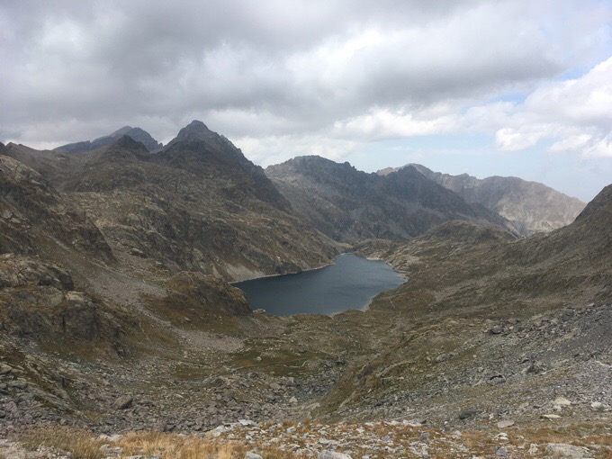
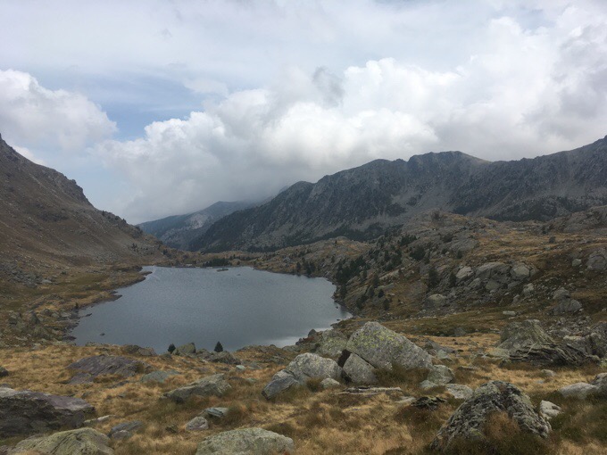
I’ll spare the details, as it gets monotonous, but I had many passes today, a ton of rocky terrain, and saw a ton of lakes. It was tough to choose a limited number of photos from the dozens I took today.
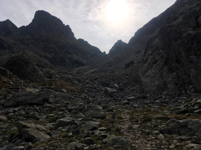
I took a quick lunch at Lac Niré looking up at the big wall of rocks up to Baisse du Basto. There were gathering clouds with a sudden increase in wind, so I really got worried about getting caught up there or the next pass in bad weather. I dried out my tent that had a bit of condensation last night, and headed up quickly.
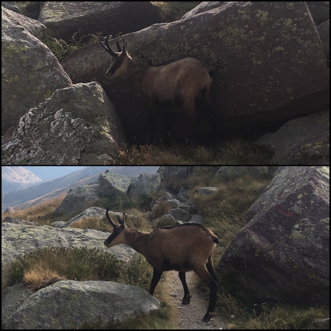
On the way up, I finally got to see two ibex that have the big horns. I don’t know how they even keep their heads up. They can be even bigger. Again, the main drawback of the iPhone as my sole camera are the animal shots.
I got over the col and hustled to get over the other high point of Baisse de Valmasque. More lakes and great scenery along the way…and yes, plenty of rocks.
I felt a great relief as I got over and descended into the Vallée des Merveilles.
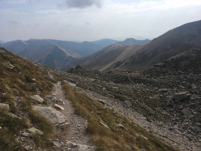
As I continued down, the threat of precipitation lessened. I had expected to need to take shelter for a bit at the refuge in the valley or possibly even stop there, but there was no need at all, so I continued on. The stress of impending doom went away and I was finally on paths that I could get a more natural stride going. The views were great, and there were still many more lakes.
At 4:20pm, I hit the last water source I’d see for the day. I grabbed water for camp and soon left the boundary of the national park. I could see on the map that I’d only be able go so far before I got to a long traverse along the side of a ridge that wouldn’t be flat enough to camp. My legs and mind needed to stretch out and relax on the clear path for awhile, so I hiked as far as I could to the last good spot to camp.
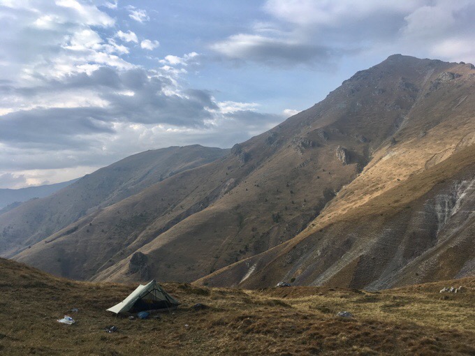
Love the spot I got! I even have cell service if I walk a good 20m downhill. I was hopeful to post the blog from the tent, but now that I’m just now finishing my writing, it’s sprinkling and I don’t think I’ll get motivated to venture out unless it stops soon. I’ll take sprinkles over what was forecasted for sure!
I’ve really enjoyed the last two days. I didn’t go through a village for two whole days, and that felt pretty great. I almost forgot how good it feels to just be out in wilderness consecutive nights. I have two days left before I reach the Mediterranean and weather looks good. It’s the homestretch! Just stopped sprinkling. Heading out…


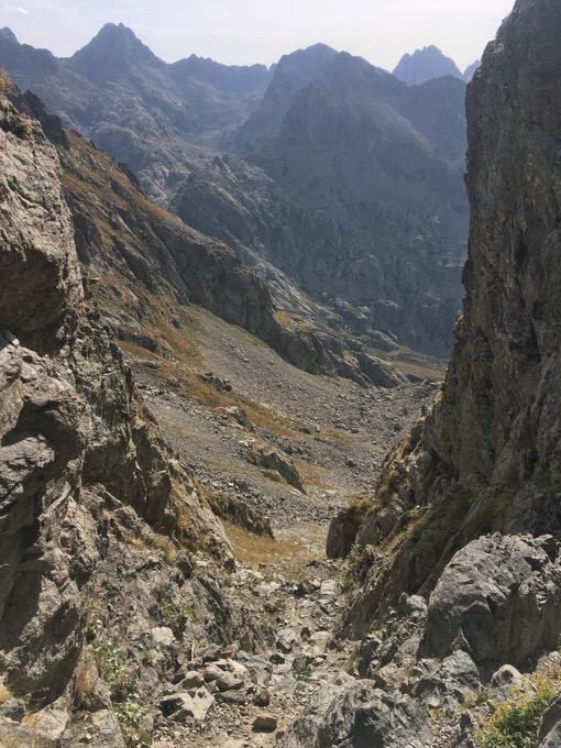




Very cool you had close encounters with animals today 🙂 The terrain is definitely not like the Sound of Music Alps type green slopes anymore, more rugged, but very beautiful and austere. Does this mountain range remind you of other areas you’ve hiked? I just came back from Yosemite and the Sierras, and even though I’ve been going there since I was 2 years old, I can never get enough of the granite rock and the higher elevation landscape, I am simply in awe of any peak over 8,000 feet!
The rocky terrain reminds me of the High Sierras, but a lot of the long relaxed traverses are PCT like. The dropping down to villages also makes me think of the PCT. Normally, this is all green. It’s just end of the season and dried out.
Neat pics. Such a change from just a few days earlier. I take it the ibex weren’t too bothered by you. how close were you?
Just 10m away and another person was next to me taking photos. They must get it all the time there.
Beautiful terrain, but dense rocks just suck!
Glad you’ve enjoyed the last several days.
Here you go Wired, your next 24,000 K challenge
http://dailyhive.com/montreal/canada-the-great-trail-completed-2017#.WaWuClTzXQw.facebook
Yeah, that’s more of a biking trail not intended to be for walking thru, but it is cool. They’ve been working on promoting it so it’s getting mixed up in the hiking and I’m getting the link a lot.
Also, it had another name and they changed it to the “Great” trail, which is now often confused with the Great Divide Trail I did in 2015. Trail politics.
Hmm, I slept at the same place I think (Baisse Cavaline) and was woken up by a sheep dog during the night. You are lucky.
Nice pics again 🙂 Did you see the old graffiti wall (and the very old stones) ?