April 26th
Btwn Doban & Somatar-Sanam
Distance: 11.5mi/18.5km
Trip Total: ~188mi/303km
Guesthouse Elevation: 9,241ft/2817m
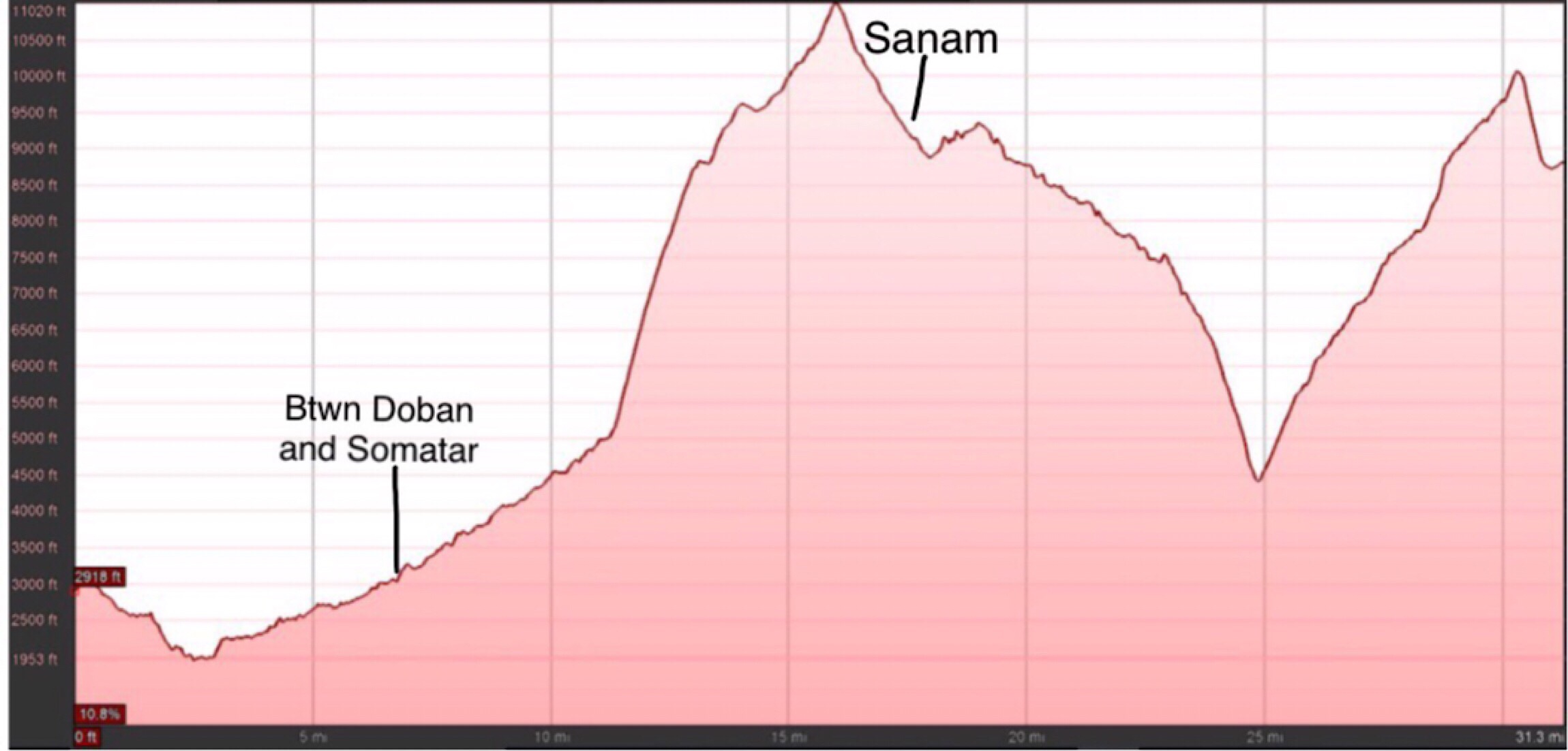
I did not sleep well last night and woke up unrested. I think I was just thinking (or dreading) the next few days. It’s going to be a lot of elevation change, and it feels like we are just inching along. We’ve had a set date of arriving in Lukla, and the next day Namche for a much earned zero, but it just seems it will never arrive at times with how uncomfortable the heat and elevation can be. Today was the day we for sure got off road and would be hiking up most of the day. It was an intimidating profile as you can see above. We started off losing the road we thought we had for a bit longer, but after an hour or so, we picked it up again a couple miles to Salpa Phedi.
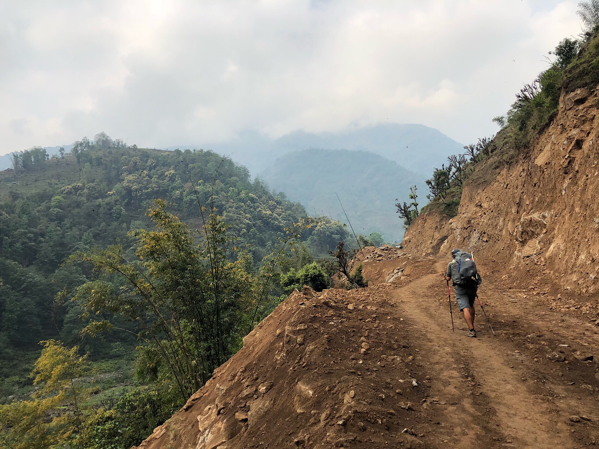
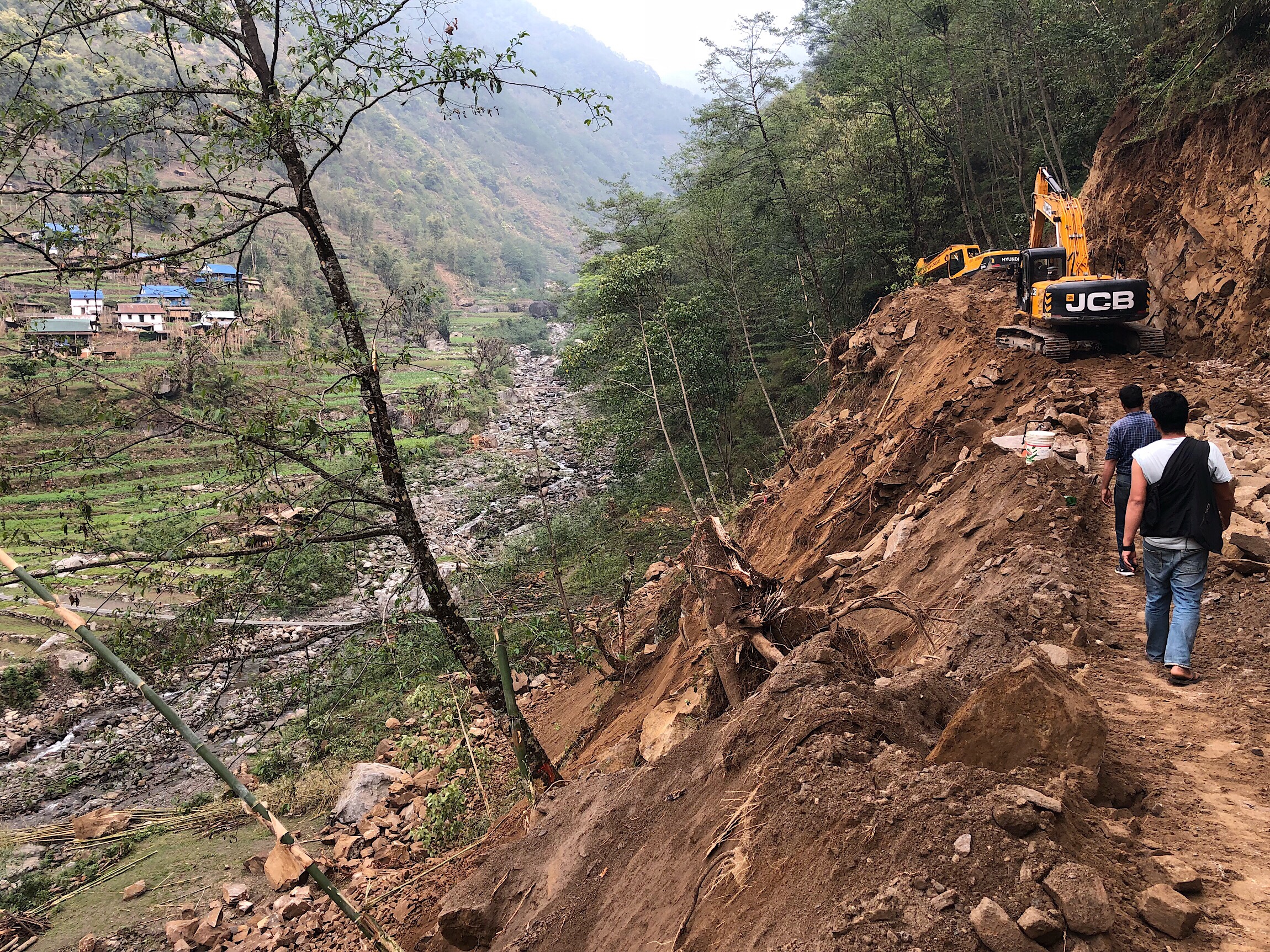
We knew we needed to get over to the village, and could see it below from the road, that seemed to be new. It was indeed new, as we turned a corner to see two large construction vehicles working on it. They do things so differently out here with construction. There doesn’t seem to be a safety system, and they just plow on through. We could see the large suspension bridge we needed to cross on, but it was immediately below the construction. Large boulders were just freely falling down onto the bridge, and we saw no way down to it.
We figured maybe we were supposed to walk all the way back to where we started to climb from the river and possibly cross back there instead. We were pretty dejected we had climbed so high only to turn back around. We got halfway back when two locals were walking up the road towards us. We asked them about it and they acted like there was a way around, but didn’t seem for sure. We hiked back up the hill with them. Yep, they just walked right up to the machine, and the worker shut it down while we all walked around it and climbed higher up the hillside to then take another path down to the river and cross on another seemingly temporary bridge.
It was really time consuming, and we took a break down by the water. We knew this was where the real climb would start for the day. Basically, 7,000ft/2134m of consecutive climbing up over Salpa Pass at 10,958ft/3,340m. I’ve done days with that much climbing, but to have it all in one shot, was intimidating. Overall, we climbed a solid 8,500ft/2591m today when considering all the ups and downs before and after the main climb. Almost the whole climb was from home to home on stone steps that just consistently went up without hardly relenting at all.
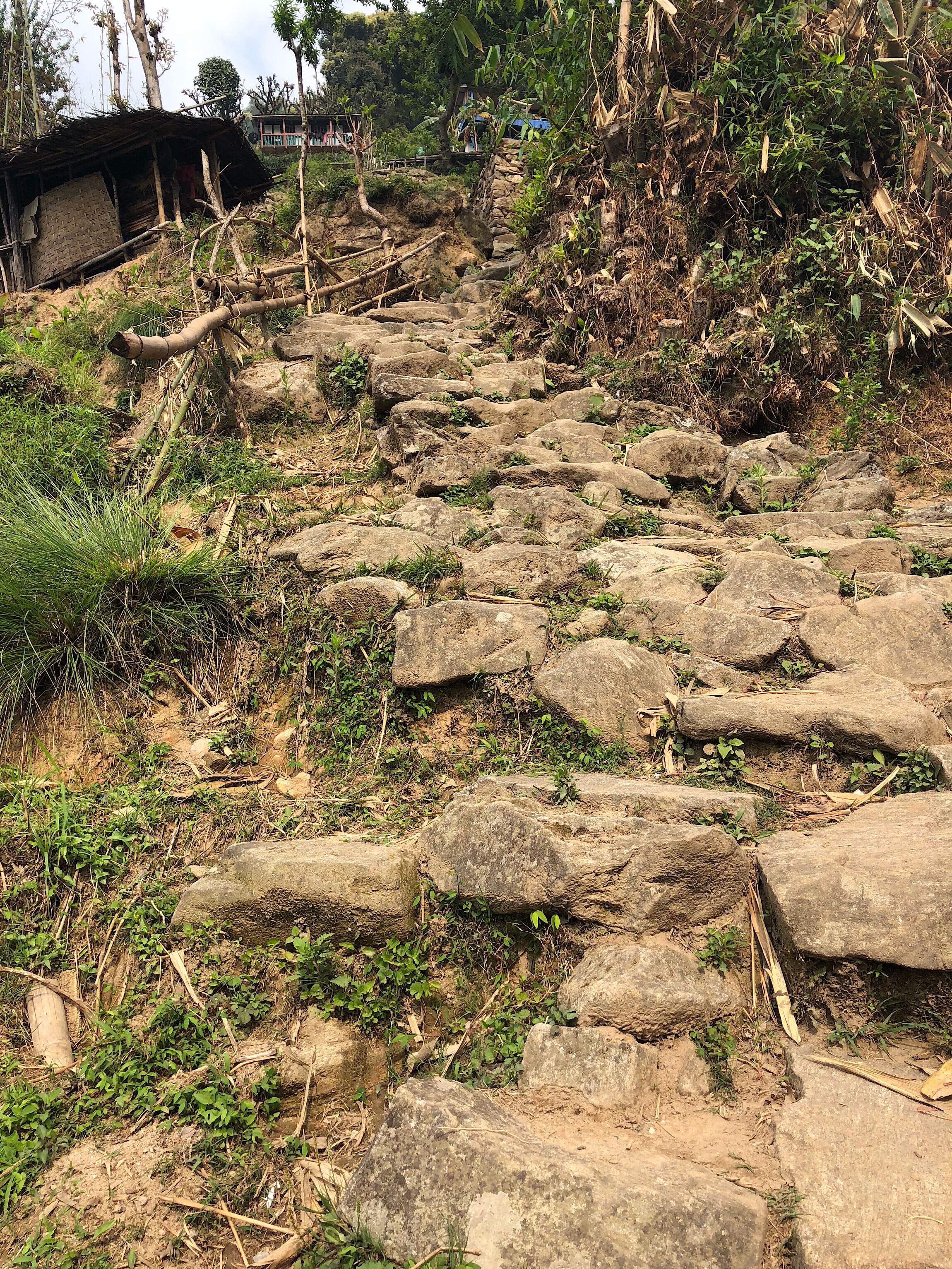
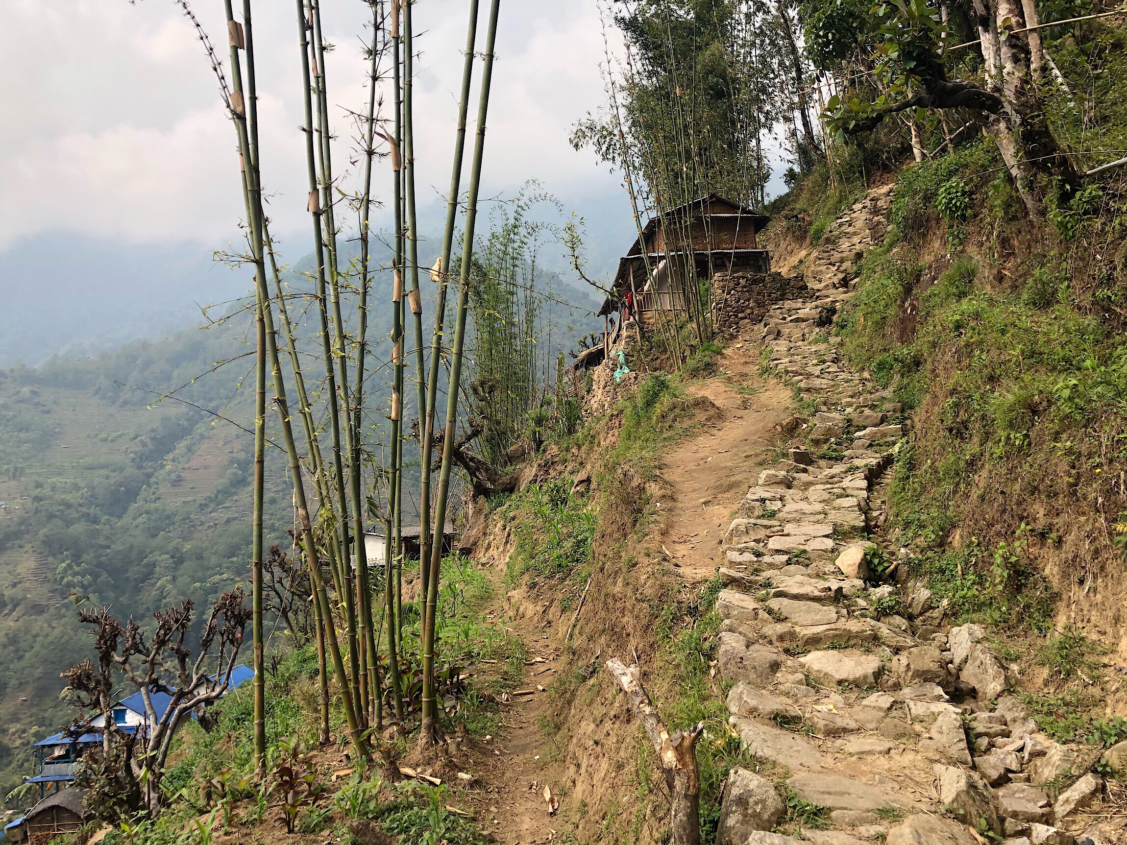
We just had to go to a place of acceptance that we’d be doing this for hours, and just keep putting one foot in front of the other. We did luck out with a cloudy day, and it quickly got cooler as we ascended. We took a break at the halfway point and enjoyed a moment of reprieve.
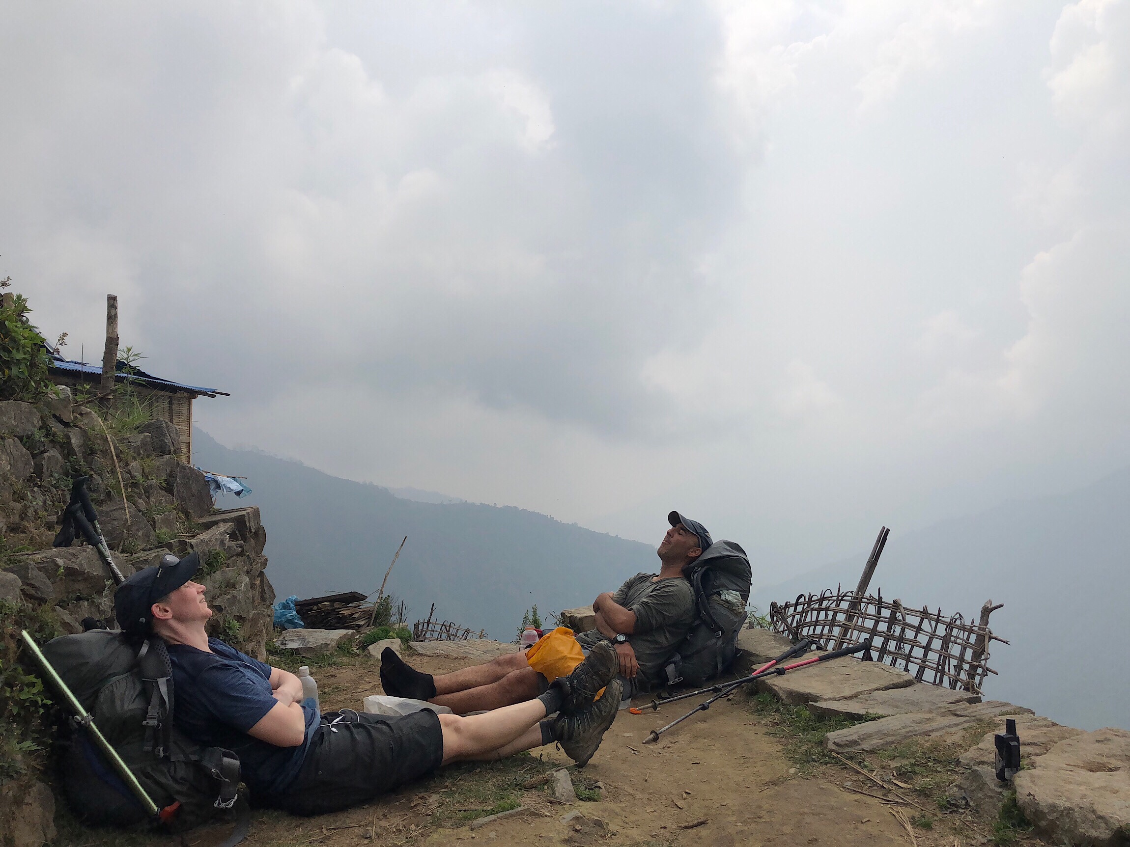
The problem for Buck-30 as we climb into higher elevation, is that he sweats a lot, so the colder air really chills him. He enjoys breaks, and that makes them less enjoyable. It’s just crazy how quickly we can swing from the discomfort of heat and humidity down low, and within the same day, be socked in up over 10,000ft/3048m in rain cold enough that you keep hiking just to stay warm.
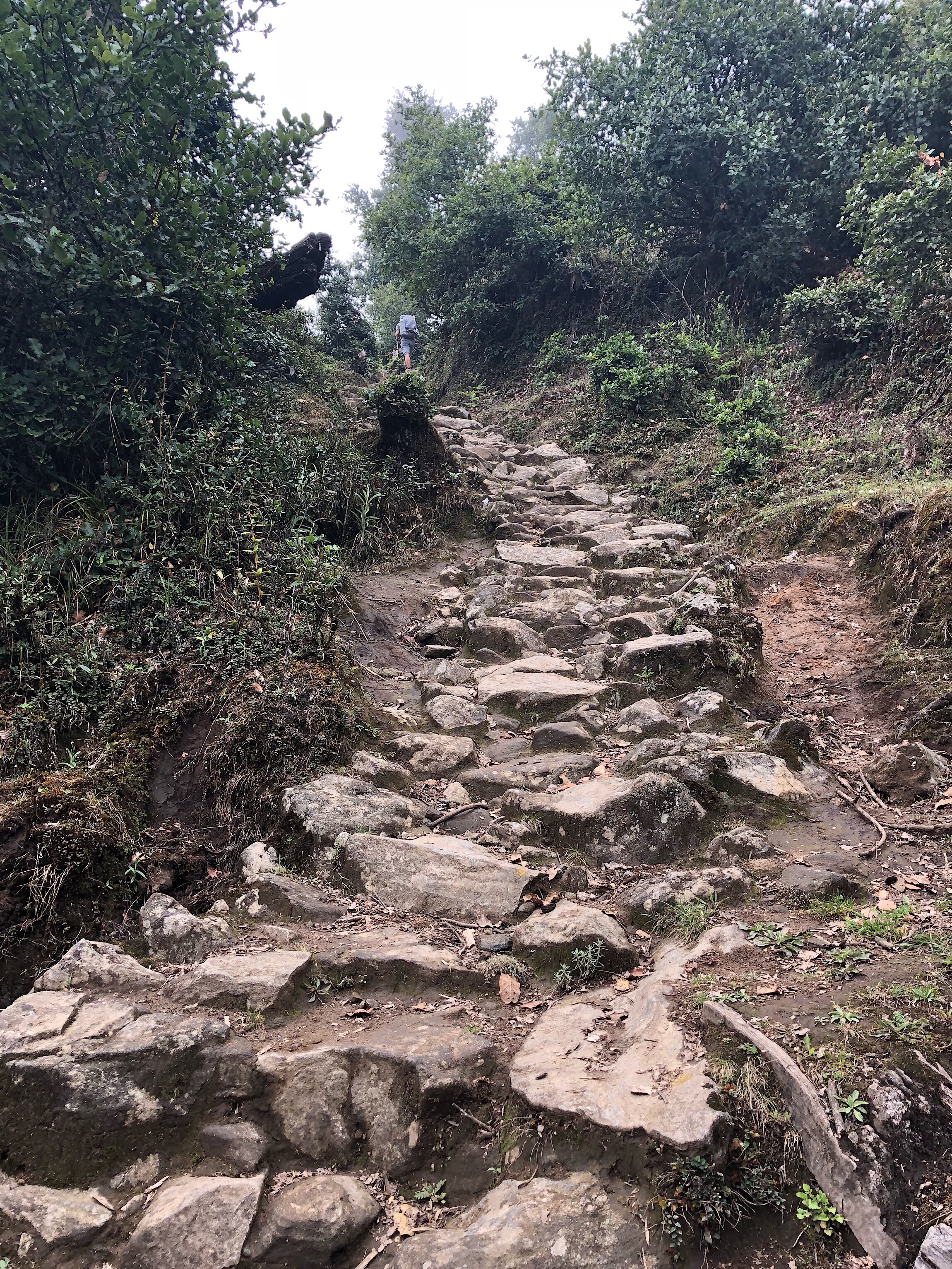
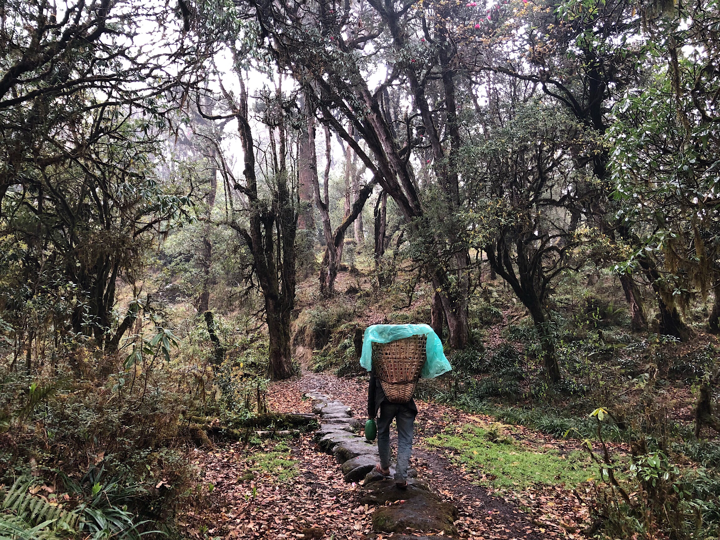
A porter ahead of us near the top when we got some forested stretches. The fog had moments of clearing. We did see one pair of German men coming the other way, and were surprised to see anyone other than locals on this stretch.
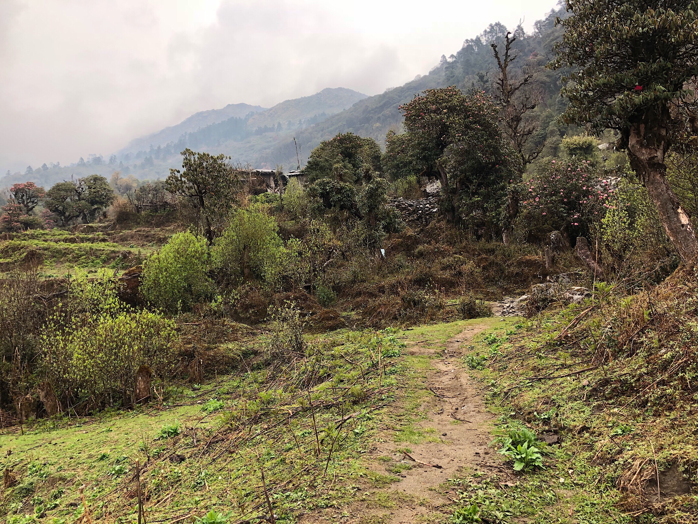
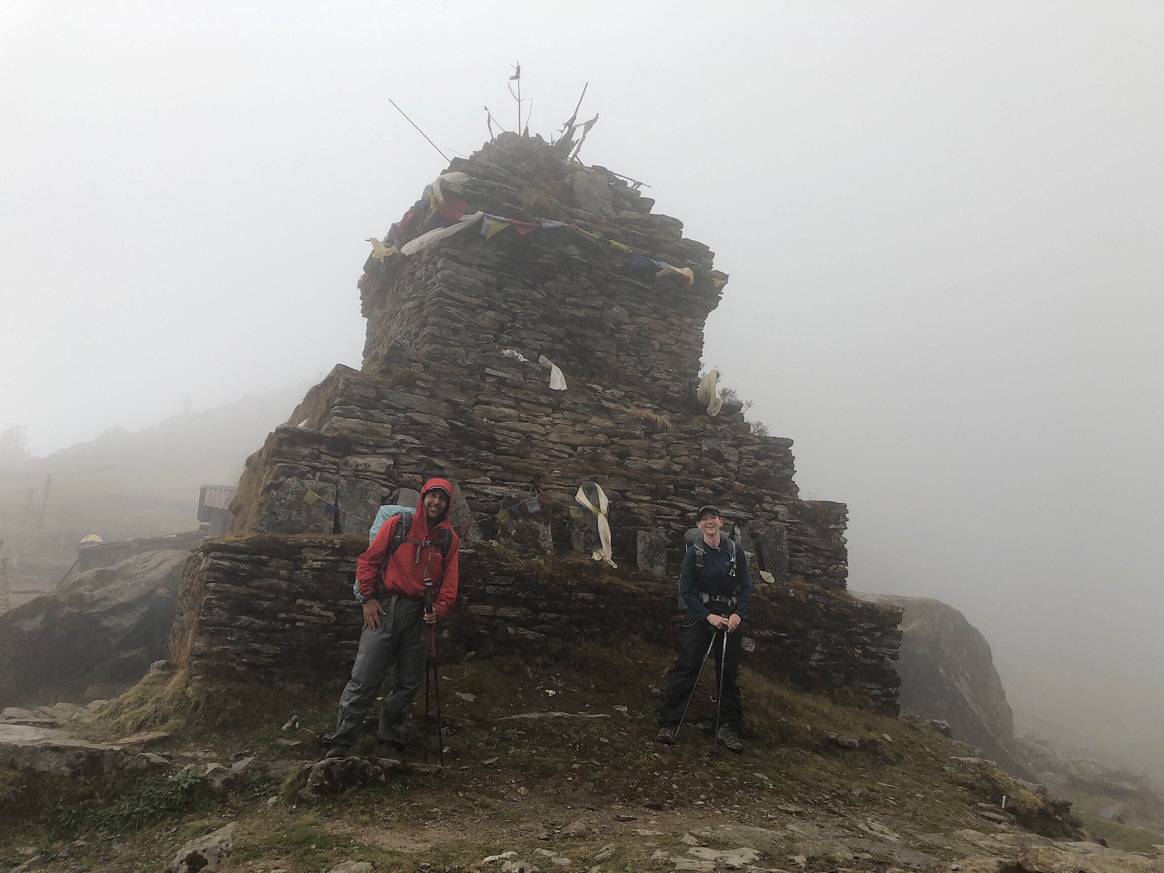
We made it to the top of Salpa Pass (10,958ft/3,340m), by 2pm, and it was quite gusty. Our legs did great though, and it was great to see that our bodies seem to finally be adjusting to this terrain and major elevation changes. We snapped a quick photo and headed down.
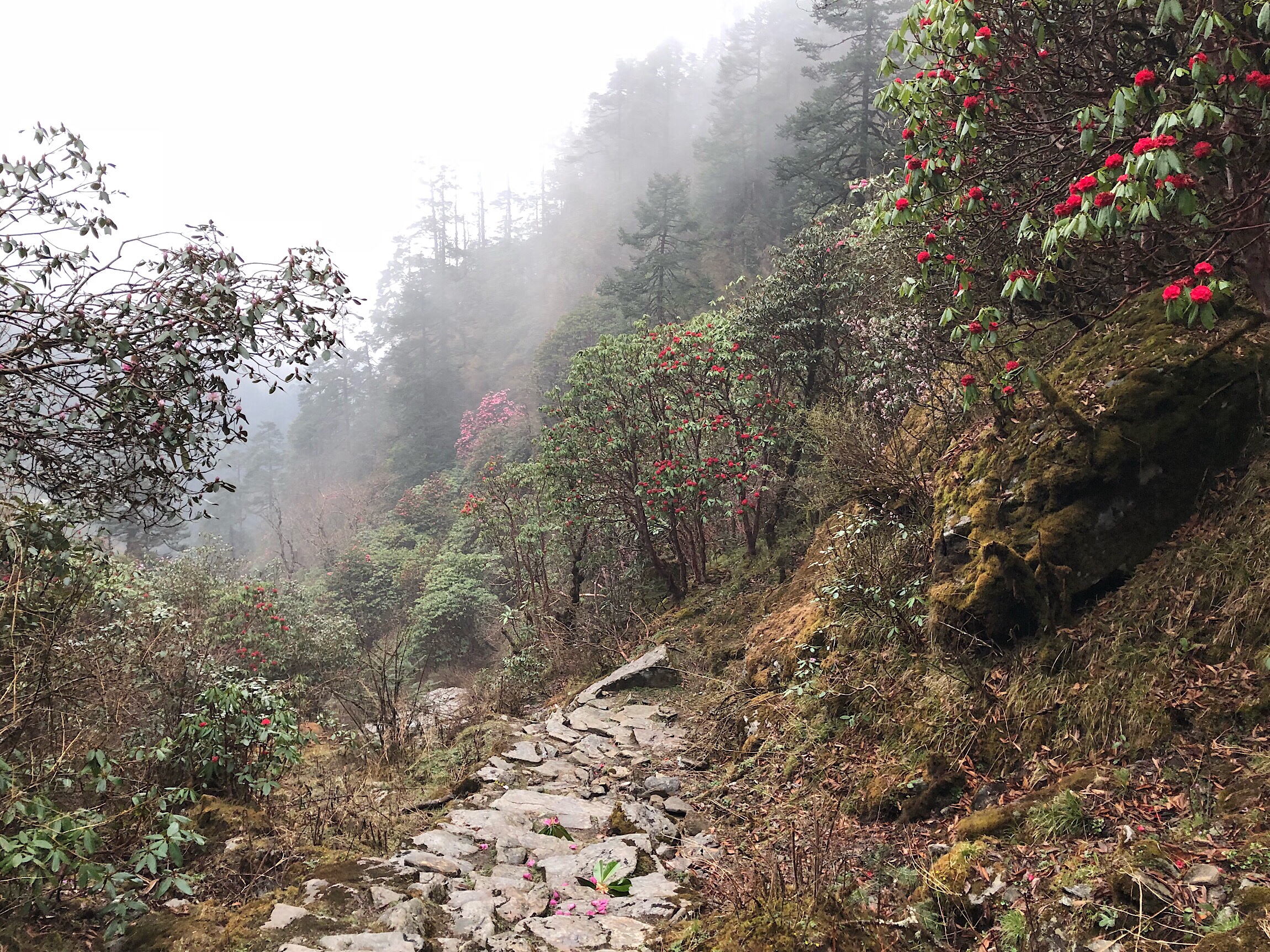
The descent was a good 2,000ft/610m, in the rain. We flew down pretty quickly, which was great. We are both very grateful to have our umbrellas out here. Actually, out here we’ve seen others with umbrellas more than any other place we’ve hiked. We blend right in, ha!
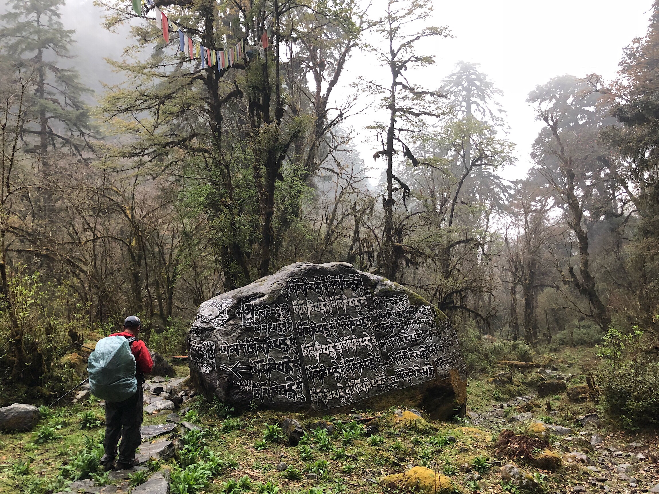
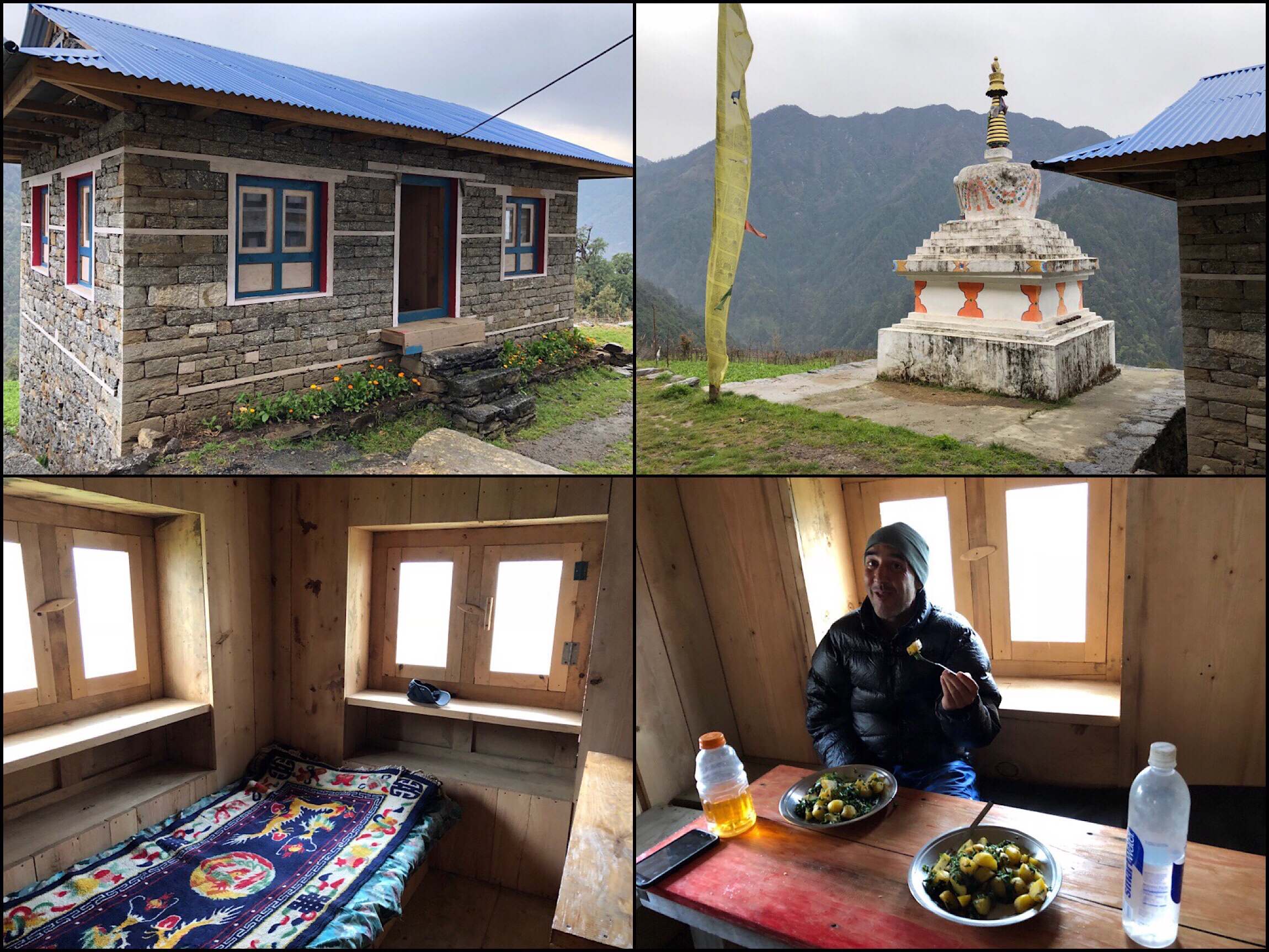
The rain let up, and then there was some climbing up to the small village of Sanam. We stayed at the Gompa Hotel and Lodge next to the monastery in the center of the village. We slept in the new and separate quarters from the main home. It is our favorite village/guesthouse so far. Clean, good prices, QUIET, and good food. Just simple. We only met an older man who seems to own it, but heard a woman who may be his wife in the home. We were able to each get our own room and ordered three dinners to split for a total of just $5 each. Just amazing. It was pretty nice to end the night inside with a warm meal. We have become fans of two dinners. The fried potatoes with veggies and veggie fried rice. Whew, I should sleep well tonight!


Love the multiple journal entries. Great to catch up. Gompa Hotel and Lodge sounds great. How’s the leg muscle doing?
I mention on the Day 18 post that it finally healed! Took forever!
Sounds like perfect accommodations finally. 8500’…wow!
Yep, the “low route” had much more elevation change than the high, but it was a lower elevation, so at least we could breathe, ha.
8500 ft???? I need to pour a Gin & Tonic just to get through READING about your hike. Wow.
Haha!
I’m with Andrea above. 8,500′ in a day??!! How do you get through that? You and Buck-30 are amazing.
Congrats on the trail legs! So you’ve got that and hiker hunger, the annual sun induced skin rash, your pulled muscle has gone away, and you’ve lost 3? Items so far, you are in the groove now : )
Haha, exactly! All is as it should be!
Yep. In the real world peeps are forced to use their life skills to live safely. Wish these united States retained some of that (as in Portland it seems) the gooberment deems the public unable to judge traffic speeds well enough to turn left in oncoming traffic without huge infrastructure systems. My 2c. YMMV. Beautiful photos! Thank you both!
Those endless rocks look to be a challenge, even without the weather changes, but seems you were both up for the challenge.
8,500 elevation, ouch! Kudos for sure.
During your break pictures I notice one of your inReach sitting on a rock. I always get nervous for you. Are your maps loaded on your phone or inReach?
Again, some of you are quite observant. All maps are on my phone, but this trip, I have subscribed to unlimited texting through the inReach to be in touch back home since I don’t have cell service most of the time out here. Morning break and lunch I can still live message at times with the way the timing works out. It’s been great to have for this trip.