June 22nd
Lower Tent Meadow(4.0)-Horseshoe Lake(16.5)
Miles: 12.5mi
Campsite Elevation: 10,515ft
With the heat and this being our first full day on the Sierra High Route, we decided to start hiking at 5:30am. Yesterday was bonus miles since we hadn’t planned on hiking, but I love that Rockin’ and Why Not were still wanting to start early today since we weren’t sure how our pacing at high elevation would be. Really, this trio fits together so well, it’s hard to believe. We all feel very fortunate with how well all our hiking styles and temperaments work together. I am just amazed at the endurance and drive both of them have. It’s really inspiring to be with women 20-25yrs older than me who are kicking my ass in the Sierra. Rockin’ is 58yrs old and Why Not is 63yrs old. I only mention this because of how inspiring and motivating that is. I know many people who read this journal may read thinking thru-hiking is not in their realm, but we are examples that it is possible and you don’t have to be some uber athlete or young dude to thru-hike. Hard headed and stubborn maybe, but not an uber athlete.
So along these lines, I have to tell you that Rockin’ is an uber planner who knows the Sierra quite well. Months ago, she made an itinerary for our trip and titled it “Aggressive Itinerary.” She said a less aggressive itinerary was in the making and never made one, and none of us mind! We like the challenge and we all feed off one another. Once we saw that title, there was no other itinerary in our minds. It’s great to have that type of energy around and we are having a great time. We have even given ourselves the challenge of trying to only navigate using map and compass. We all have the track on our phones and have vowed not to look. I used it to look up our elevation at camp last night and found out that isn’t even allowed. This is a great challenge and Why Not and I are excited to really hone our map and compass skills.
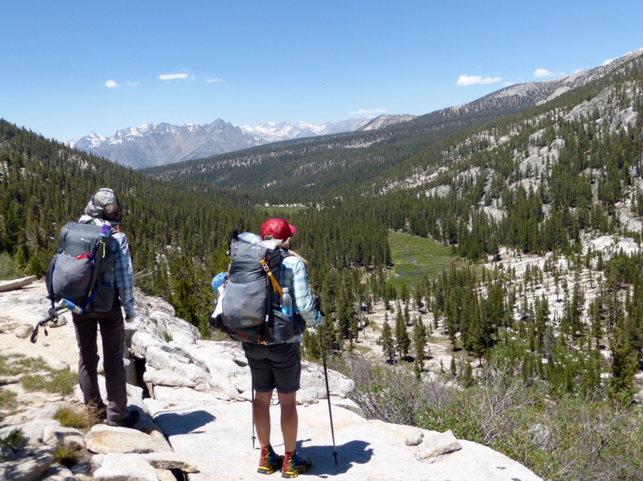
Ok, so we set off at 5:30am and headed up, up, up the Copper Creek trail. We were camped at 7,800ft and within a couple hours, we were at 10,325ft, where the real SHR starts with cross country travel. No trail! Just aiming for a spot and finding a way there. I’ve gotten to do a bit of cross country over the last year and it has become a bit addicting to be off trail. There is an unknown factor to it that makes it like a choose your own adventure and adds a level of challenge both physically and mentally.
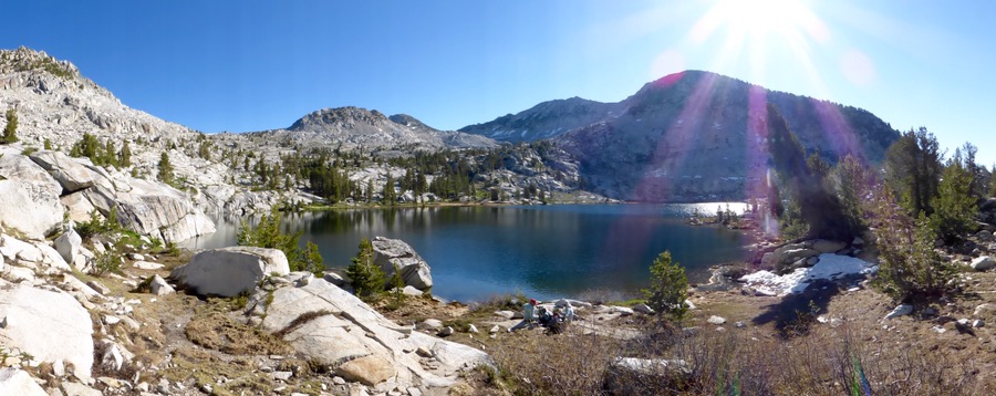
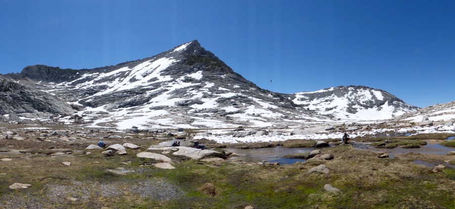
We headed cross country to Grouse Lake Pass at 11,050ft. I’m shocked to say my body handled the elevation really well today, whew! I was significantly slower (lead legs that wouldn’t lift) once over 10,000ft on uphills, but nothing terrible thankfully. I won’t take Diamox as I’m afraid of side effects, but I have taken ibuprofen, which is said to also be effective in helping with aclimating. Why Not and Rockin are also really good at taking regular breaks to acclimate and I think it really helped. On the way up to the pass, we went by Grouse Lake and saw two people camped there. They were the only people we saw all day. Everything out here is so massive that I’ll be posting many panoramic shots. Sometimes the sun can affect the photo and there might be slight imperfections, but I’d rather have the panoramas, so please excuse some of the imperfections on those in the future.
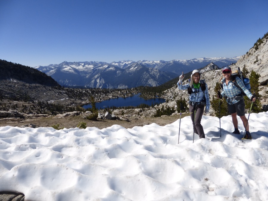
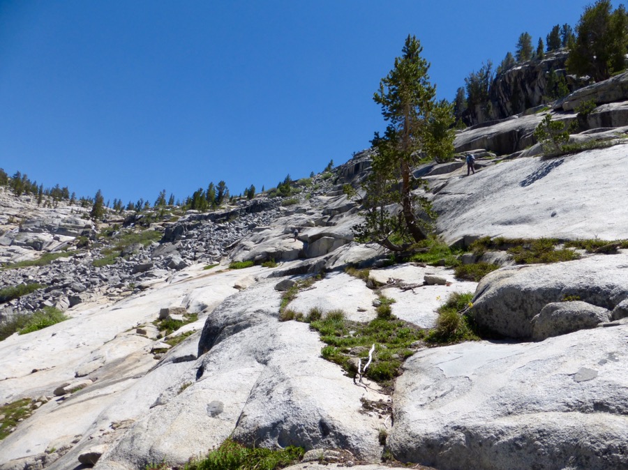
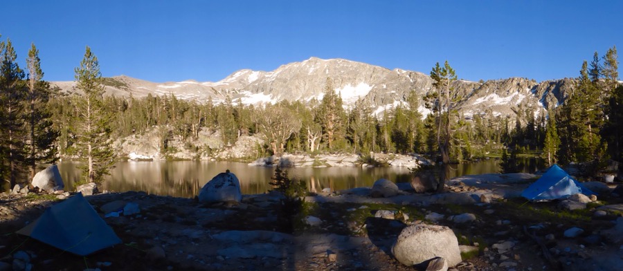
The route up to the pass has a mix of granite slabs, boulders, and grassy banks. We had a lot of fun with it being our first pass and figuring out our strategy. There was a bit of snow on top, but much less than what we anticipated.From there we descended to a valley. We are hiking northbound, so we go up the south side of the passes and when we go down the north side, there is more likely to be snow given that the sun shines less on the north during the day. The snow wasn’t bad at all and we haven’t needed the ice axes yet. The sun-cups (a unique way the snow melts) are quite deep so far. This adds to the challenge with uneven snow and carful foot placements to avoid injury on these deep waves. Once down, we had lunch before going over Goat Crest Saddle.Once down Goat Crest Saddle, we worked our way down to the outlet of one of the Glacier Lakes. I’m telling you these lakes are just magical to see. We passed so many today and all were awe inspiring.From there we needed to drop down to mosquito filled Glacier Valley. The last 2-3hrs of the day went through the valley and then into some sparse and rocky woods, where trails led us past many lakes (and more mosquitoes). We decided to camp at the furthest lake we could before the next climb up to a pass and are camped at Horseshoe Lake at 10,515ft. It’s tough to capture it all, but I tried. There is a great reflection in the water and there was alpenglow on the rocks as the sun got lower. Rockin go up and took a shot of the alpenglow after already being all settled in for the night. As she walked by me she showed me the photo and then said, “This photo will bring someone peace and that’s all that matters.” Yep, I have some pretty awesome hiking partners. Be sure to see that photo on Rockin’s blog, Lady On A Rock.
This day was very exhausting and we all wore ourselves out. Just to note, we do have wet shoes to put on tomorrow morning. I put this day in detail to show how it is that we will only be doing 10-15mi/day on this cross country terrain at high elevation. Today’s 12.5mi day felt like 30mi. We got to camp at 5:30pm, so we could all get to bed a bit earlier. My stomach is acting up and I think it’s a combo of adjusting to the elevation and just being tired. It looks like I’ll get to sleep before 10pm! There are frogs loudly croaking along the lake. I can see the silhouette of the mountain across the lake and the stars are out. A rumbling sound just occurred that sounded like falling rock and snow. Pretty amazing that we are out here and have all this to ourselves!





Awesome!
How’d you miss the memo about plaid shirts? But look, all three on the same page when it comes to GG packs and Zpacks tents. I so need to work on my map/compass skills. I’m planning for an opportunity this summer.
Haha, I know. We also have the same poles and sleeping bags!
I know what you mean, but there is a typo in the part about the sun shining on south or north aspects. I love your blog as ever, this is not criticism, I just thought you would want to know.
Ah! You are right! Thank you for pointing that one out:)