July 30th
Base of Blaurock Pass(66.5)-Iceberg Lake Pass(76.5)
Mileage: 10mi
Campsite Elevation: 11,780ft
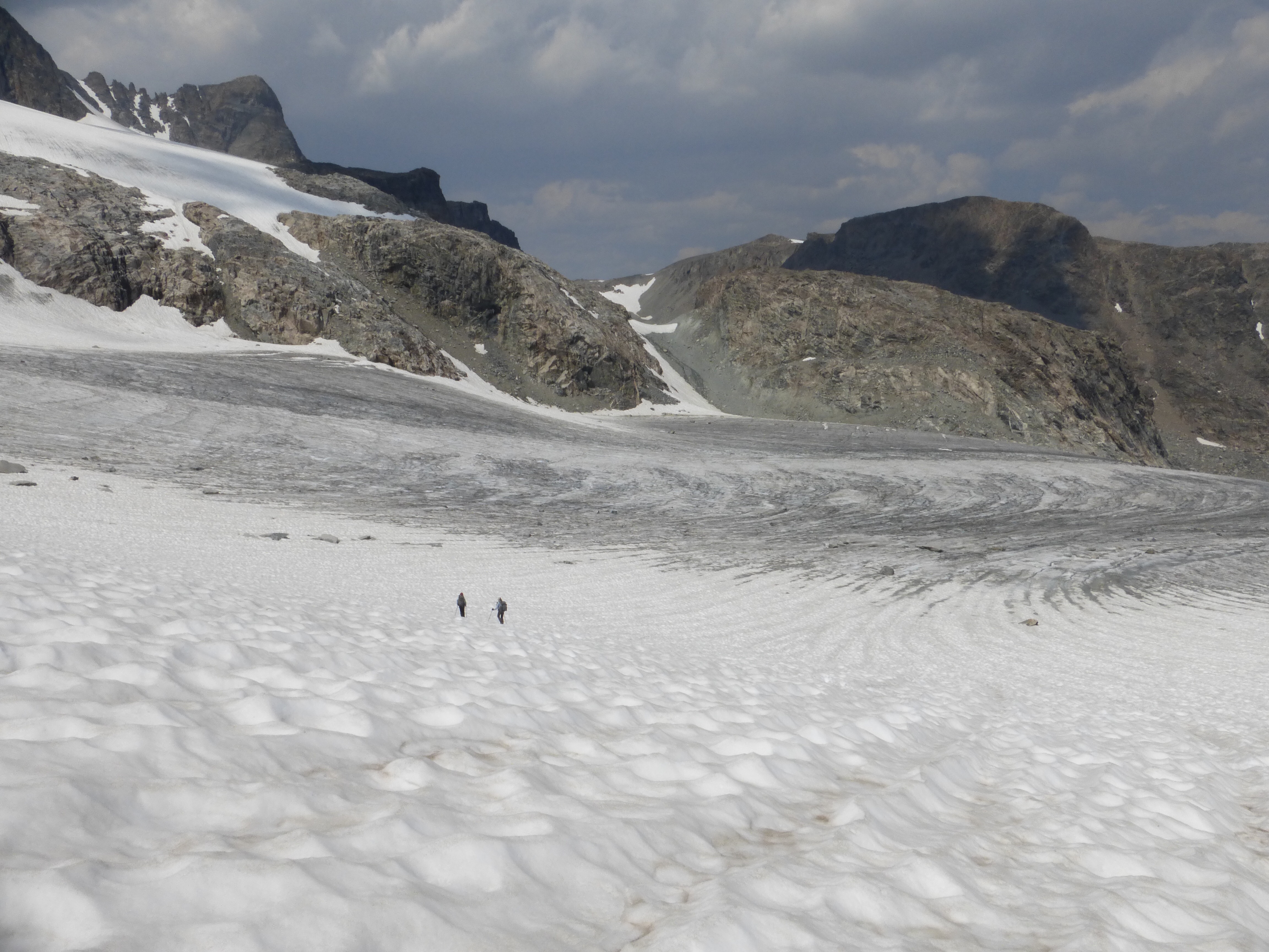
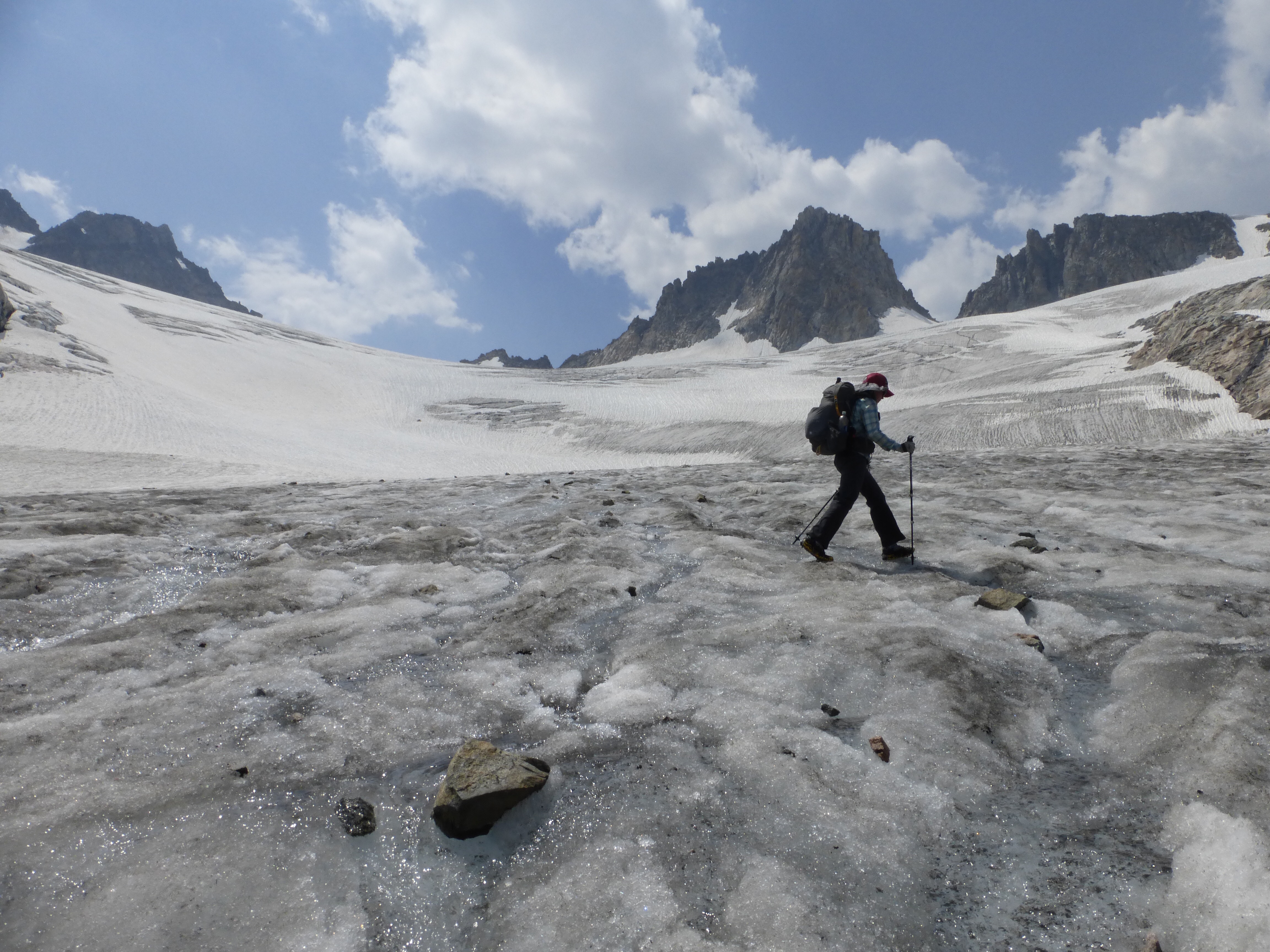
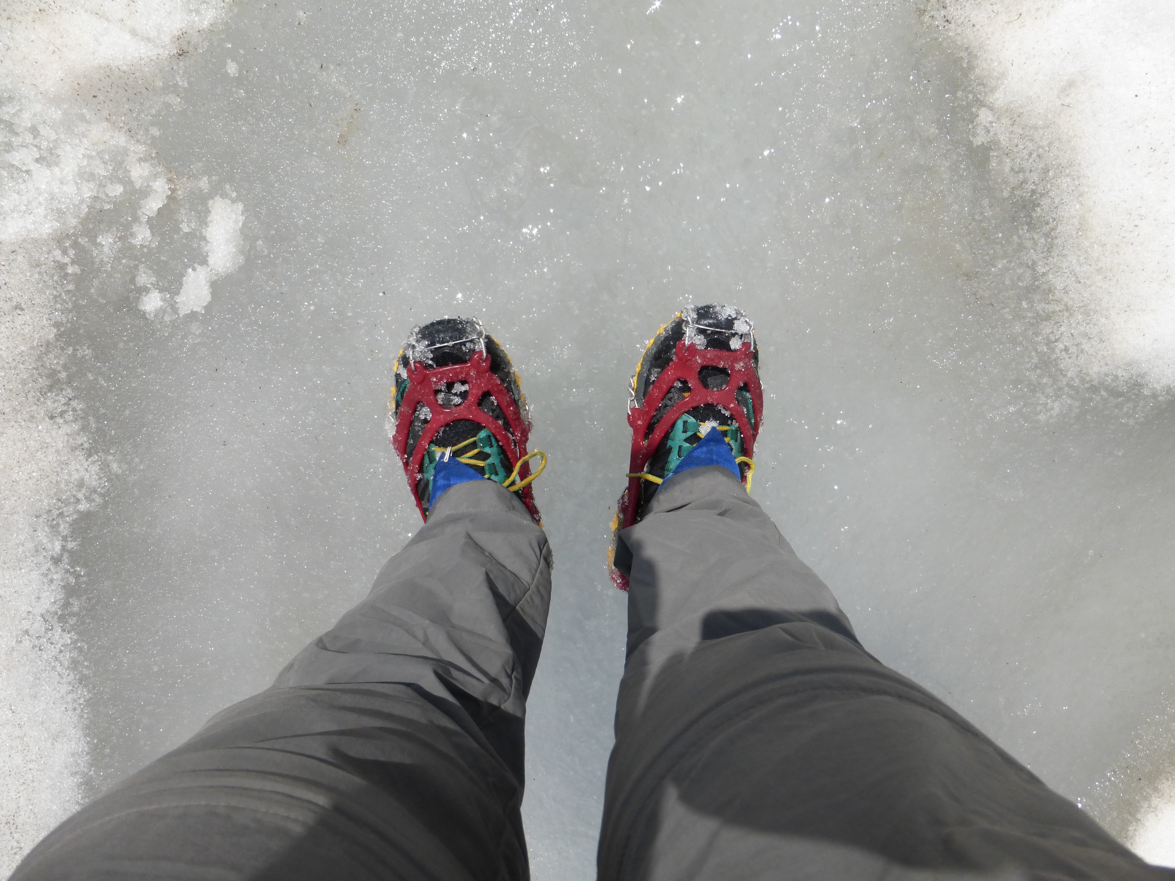
Whew, today was a packed day with many sights and a whole lot of effort. I have a ton of photos today, so enjoy this one! We had an endpoint goal today that we felt was important to make to setup the following day, but we knew it would make for a long day. We have been very lucky with weather this trip. For this last section, it is important to have good weather. The route is high and will continue to be fully exposed until the last few hours of the hike. If there is good weather, we need to make a run for it! There really isn’t anywhere to go if bad weather comes through. We need to time things so that we can get up and over as many passes as possible. We did so many things today, and it took so long that it’s hard to remember it all.
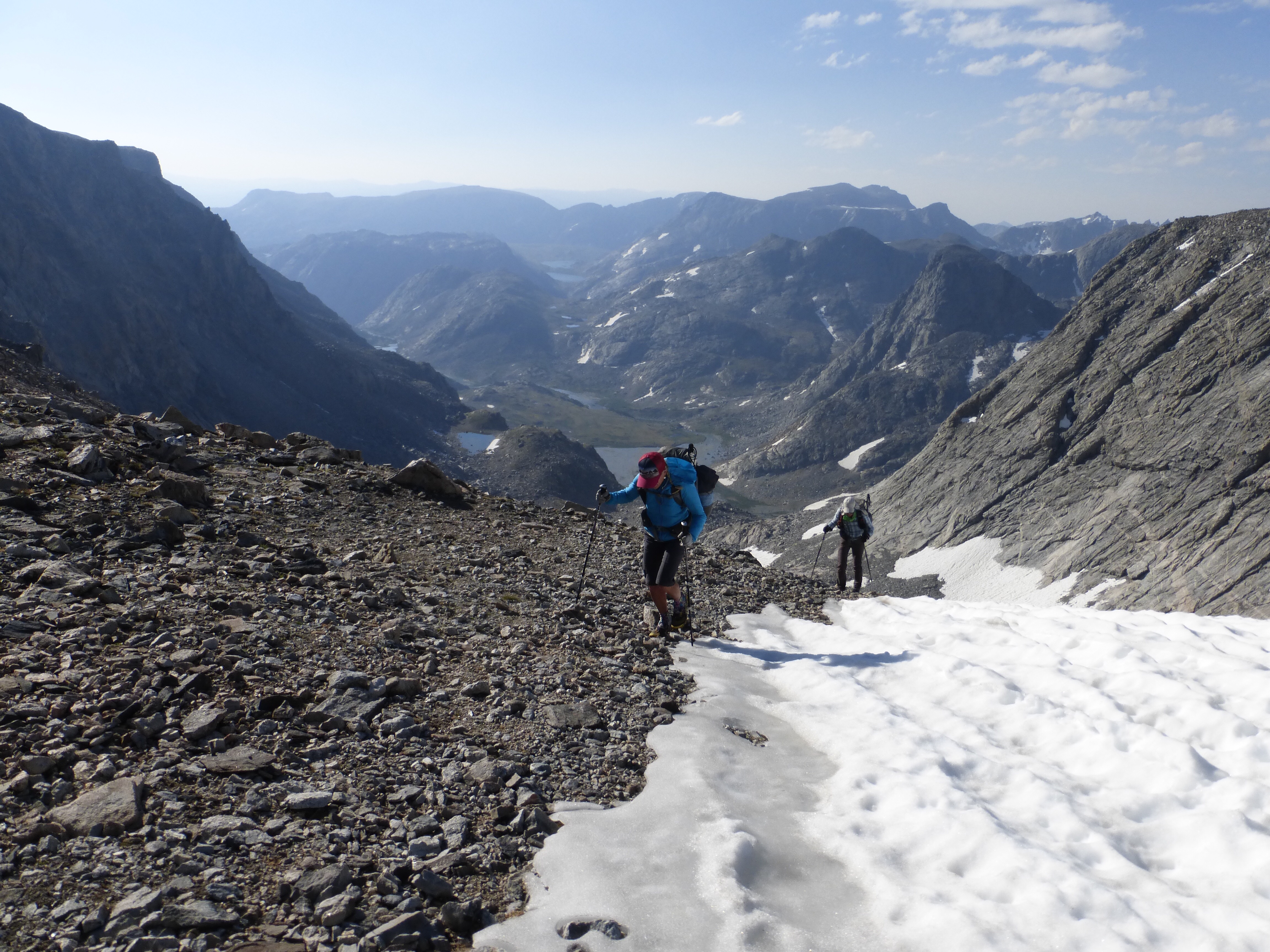
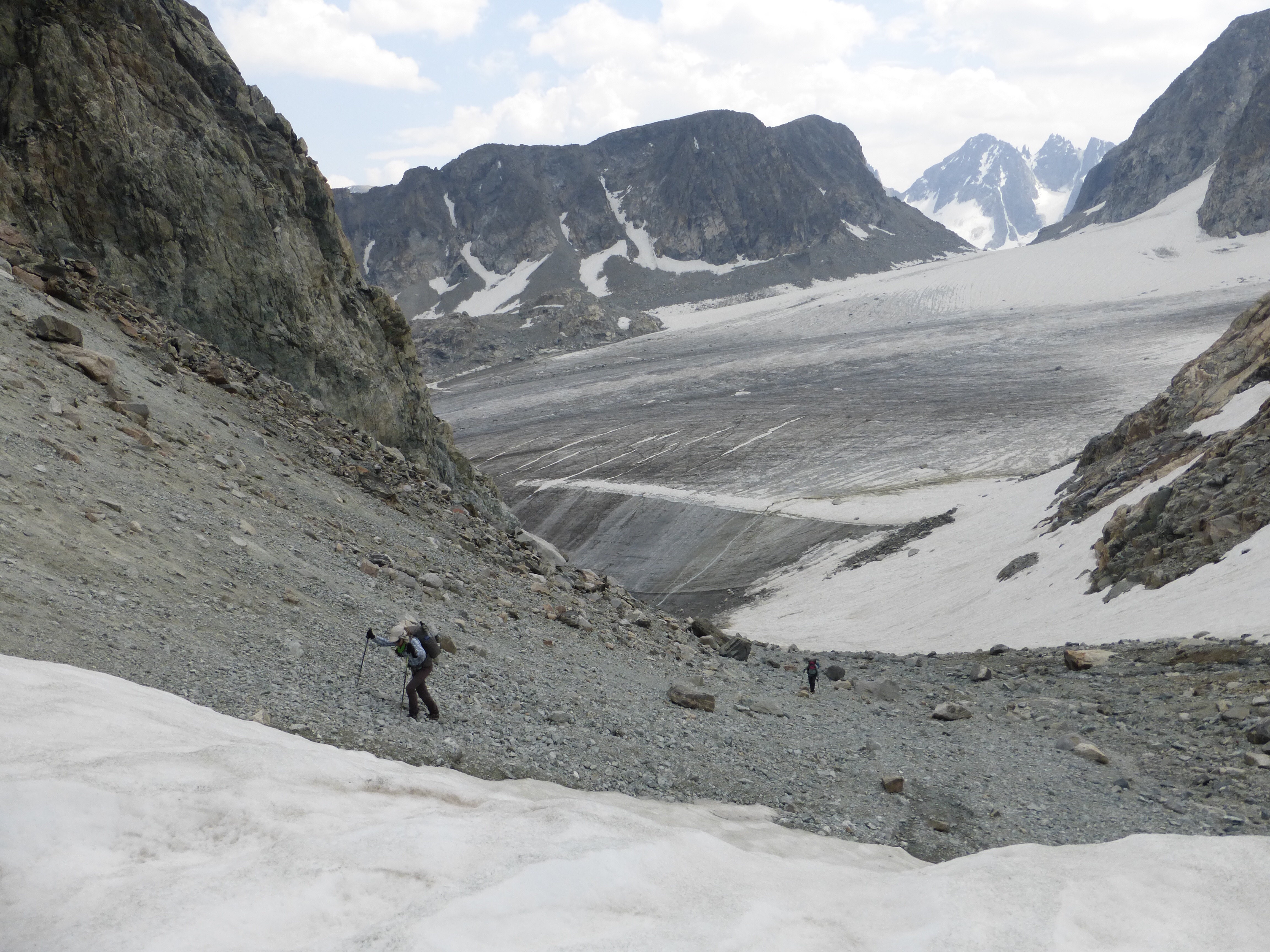
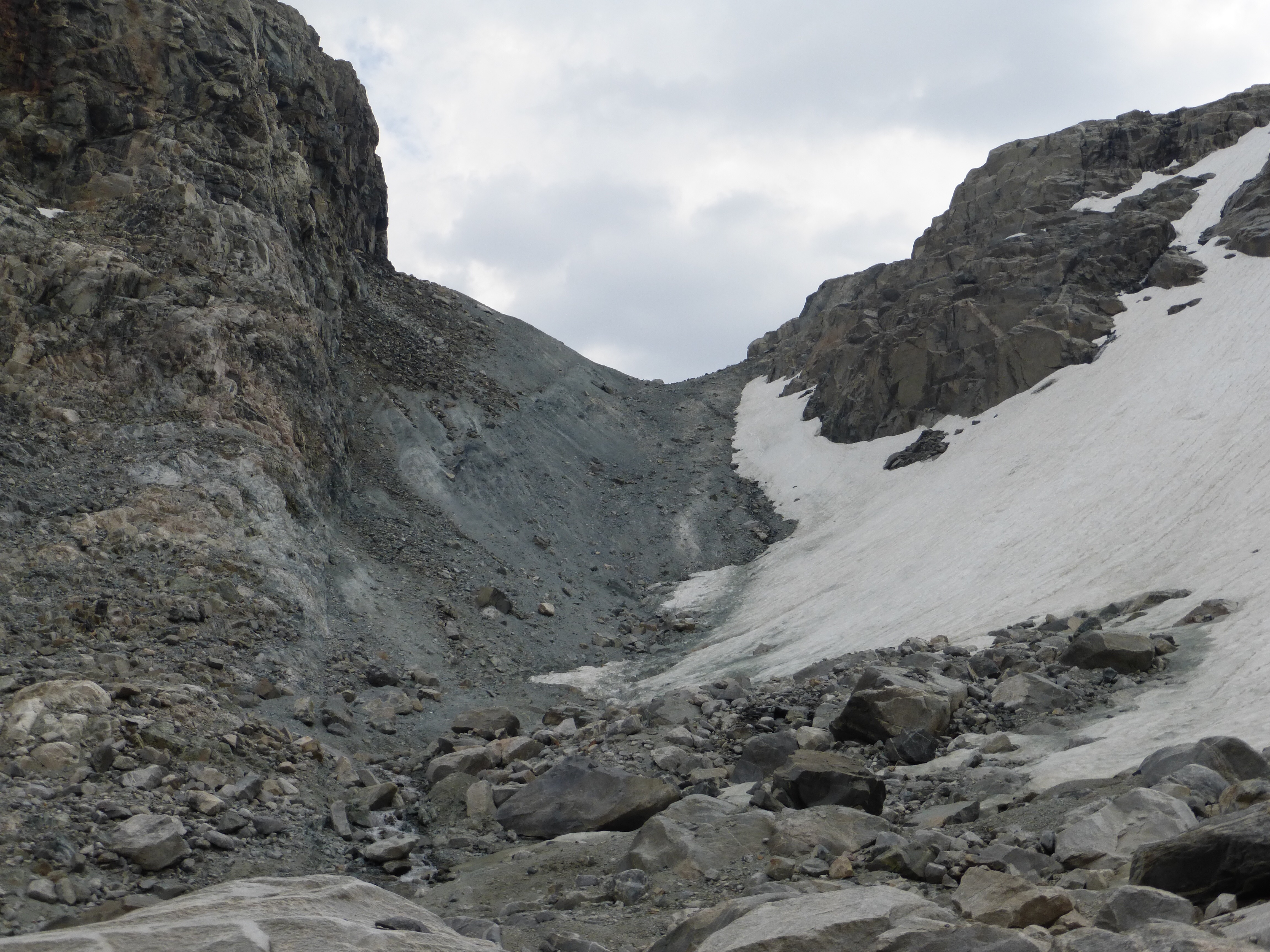
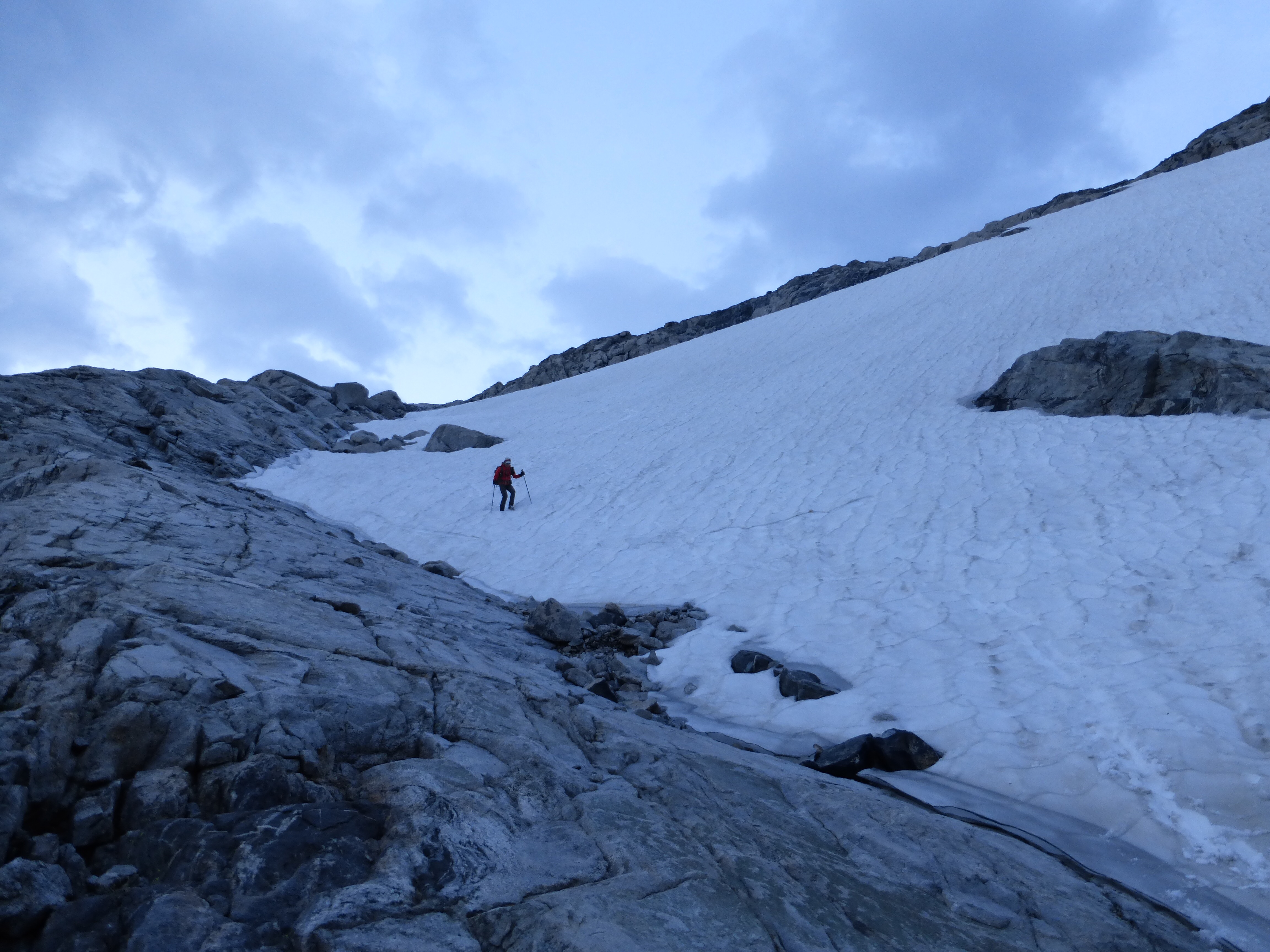
The morning started with the second steepest pass of the hike, Blaurock Pass. It took us about 2.5hrs to get up 1,938ft over 1.6mi.
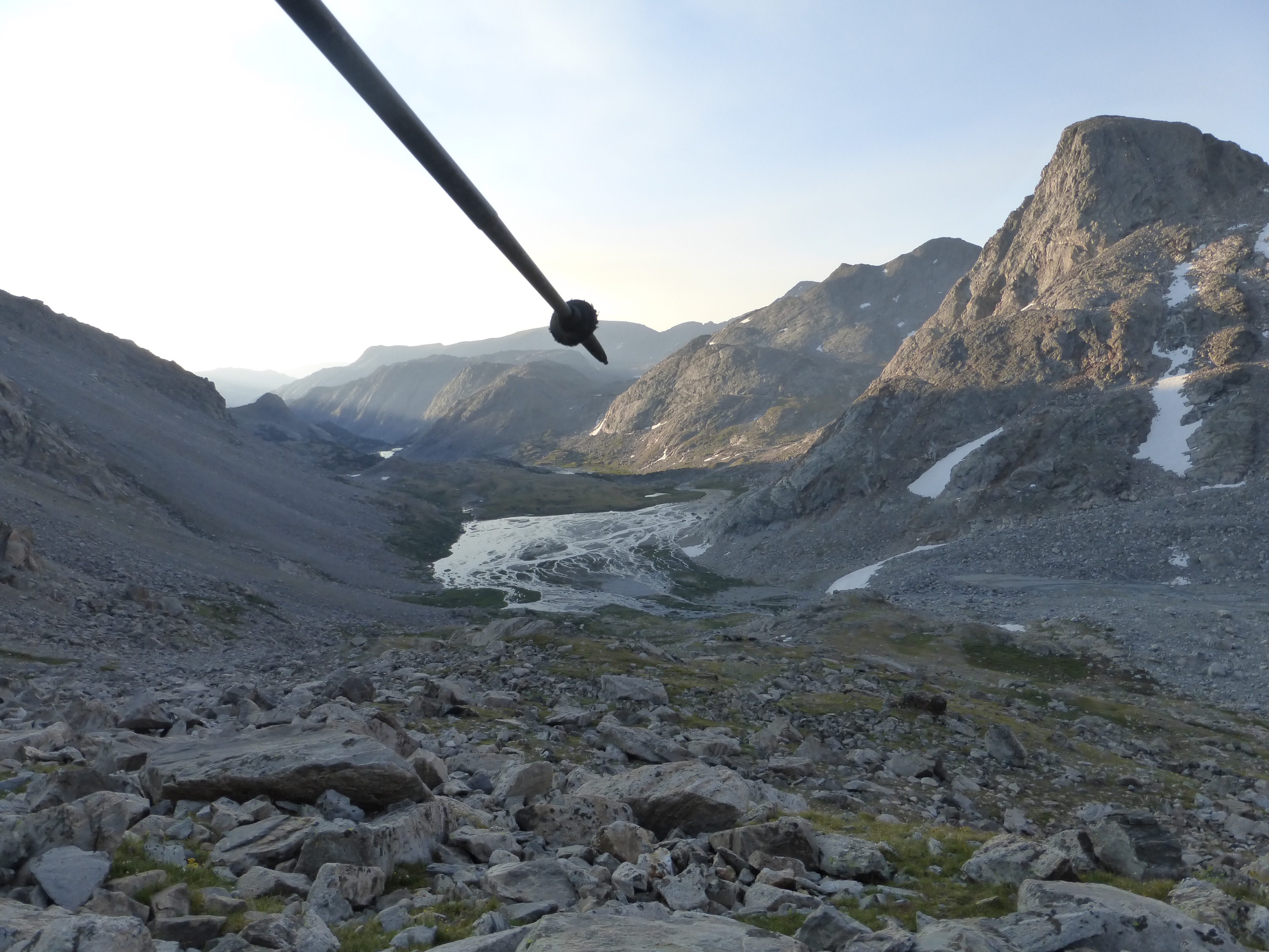
It was super windy, so we quickly went down Blaurock Pass. It was cold and gusty, so we had no problem continuing on just to stay warm.
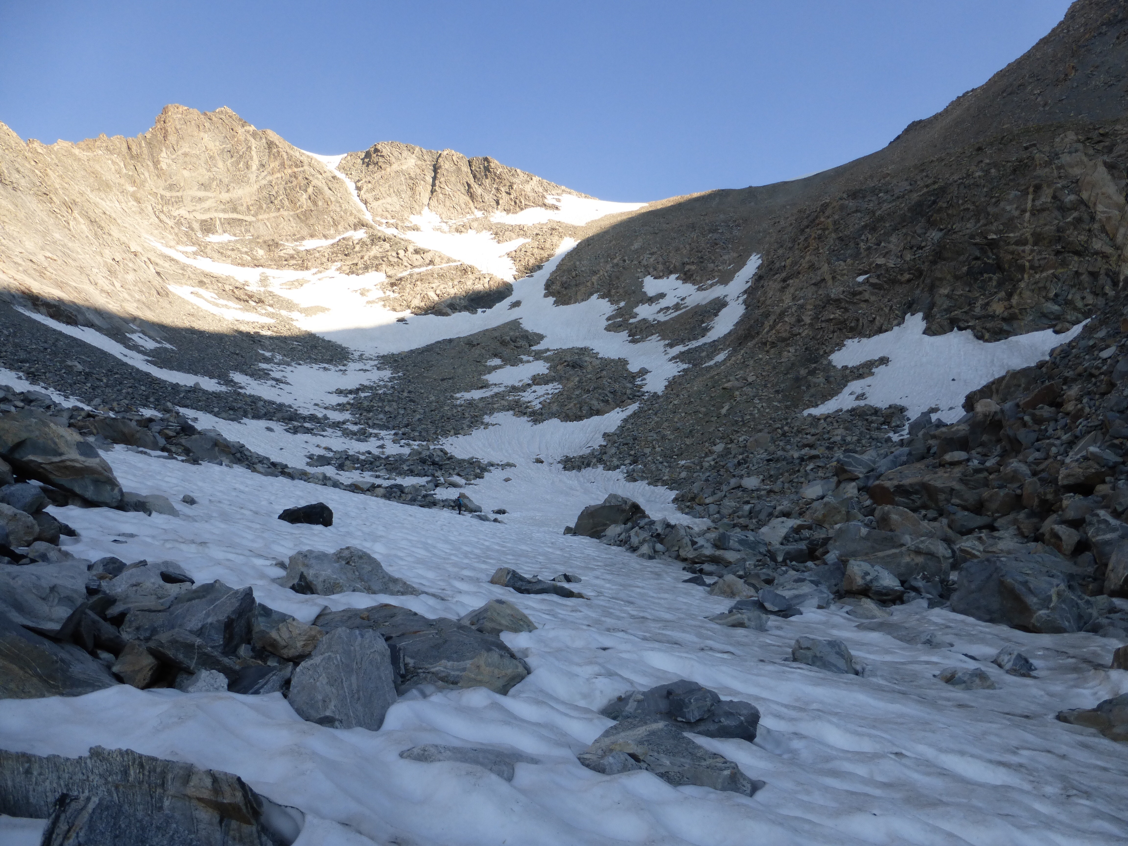
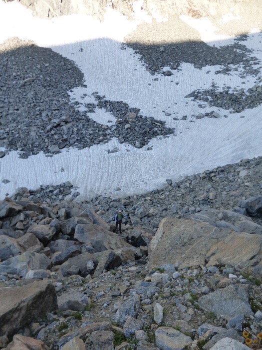
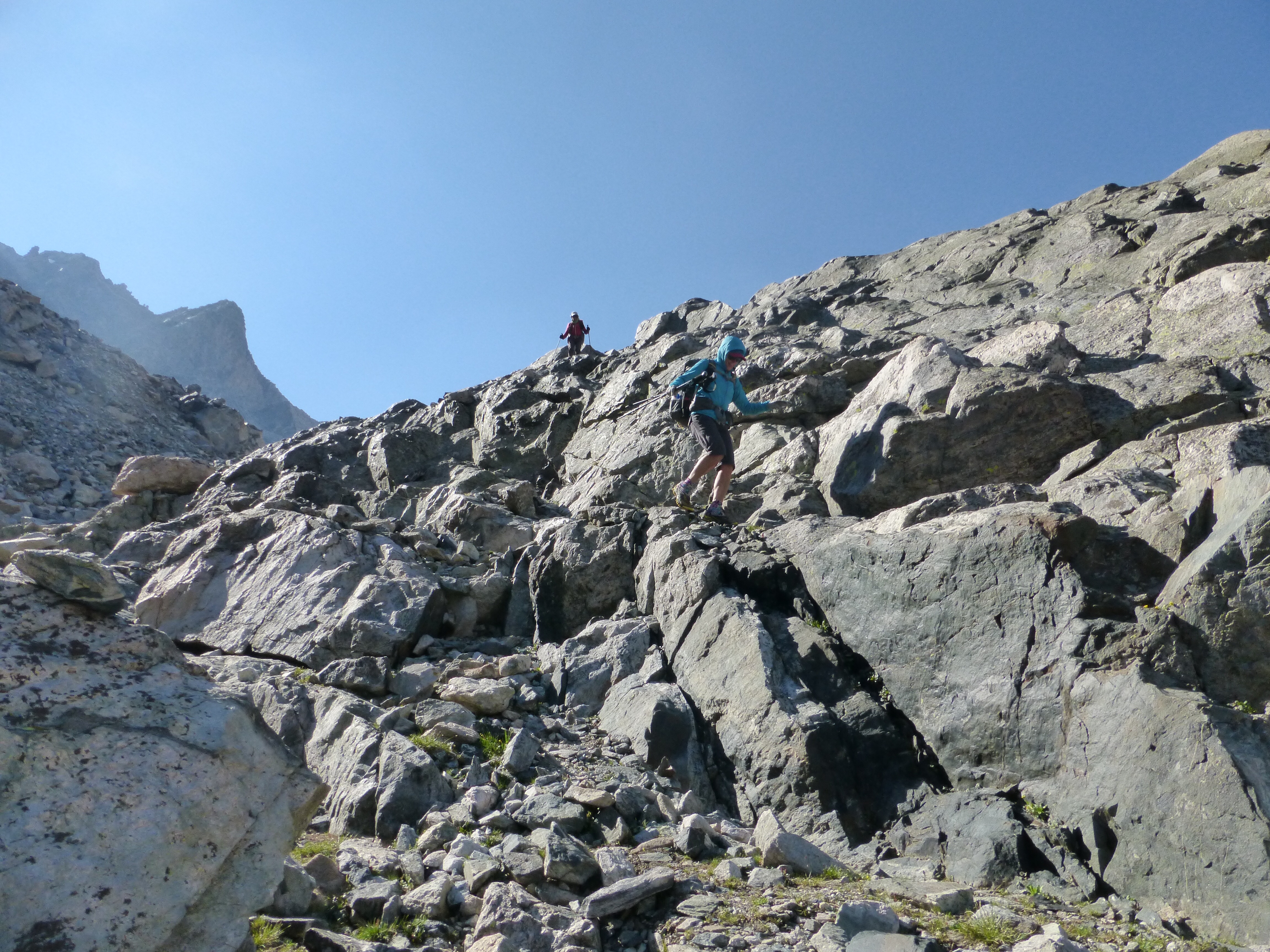
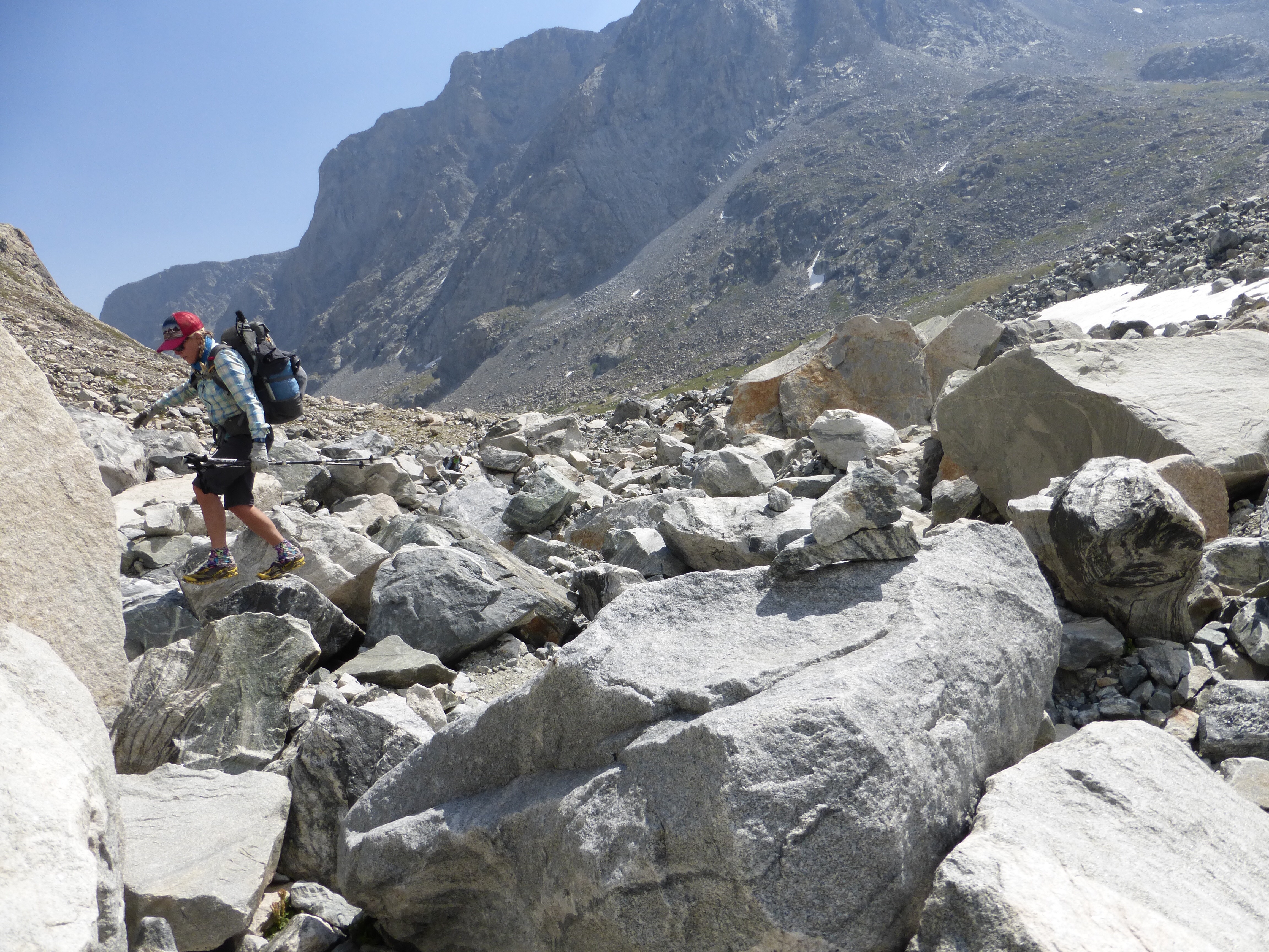
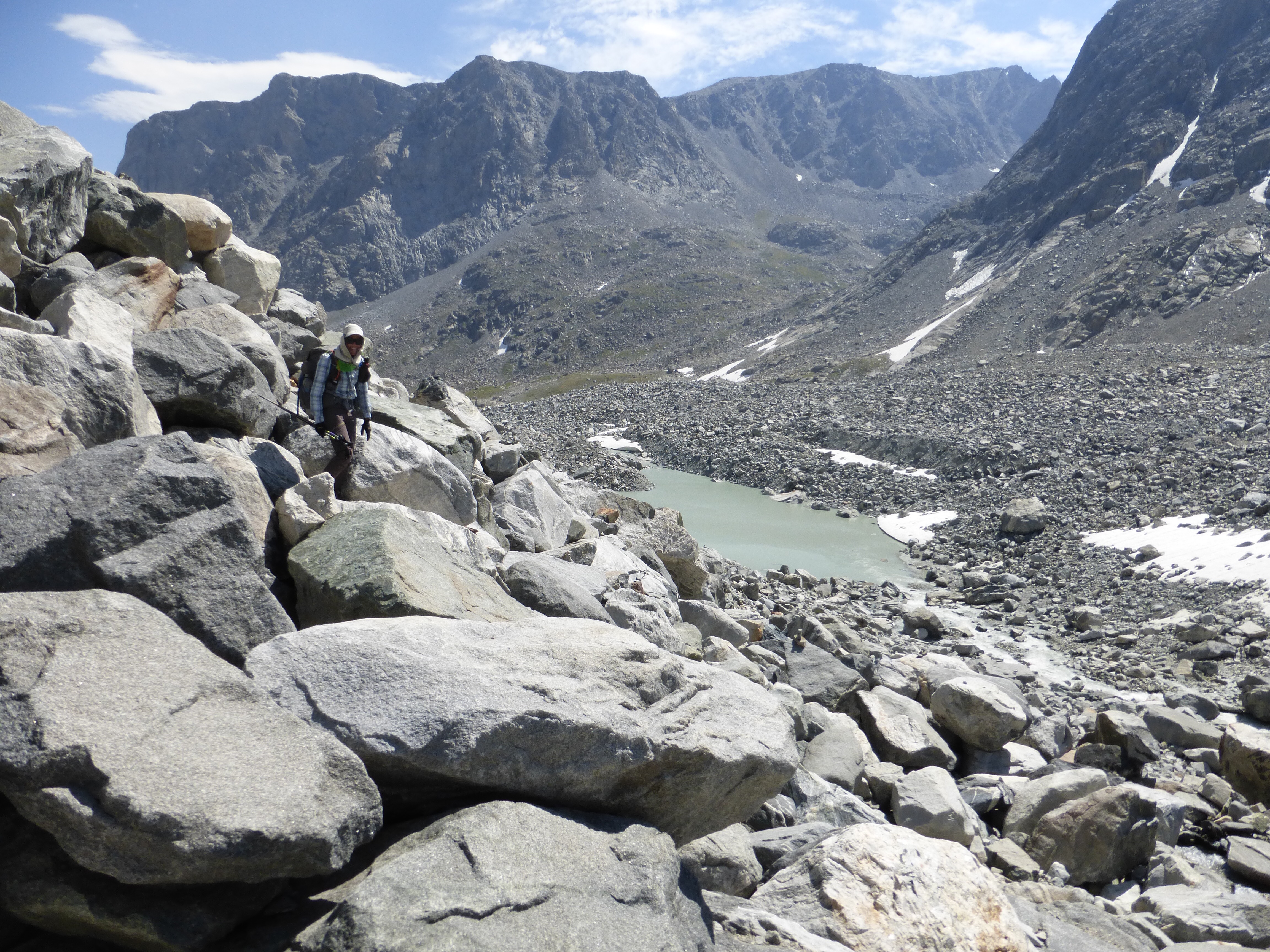
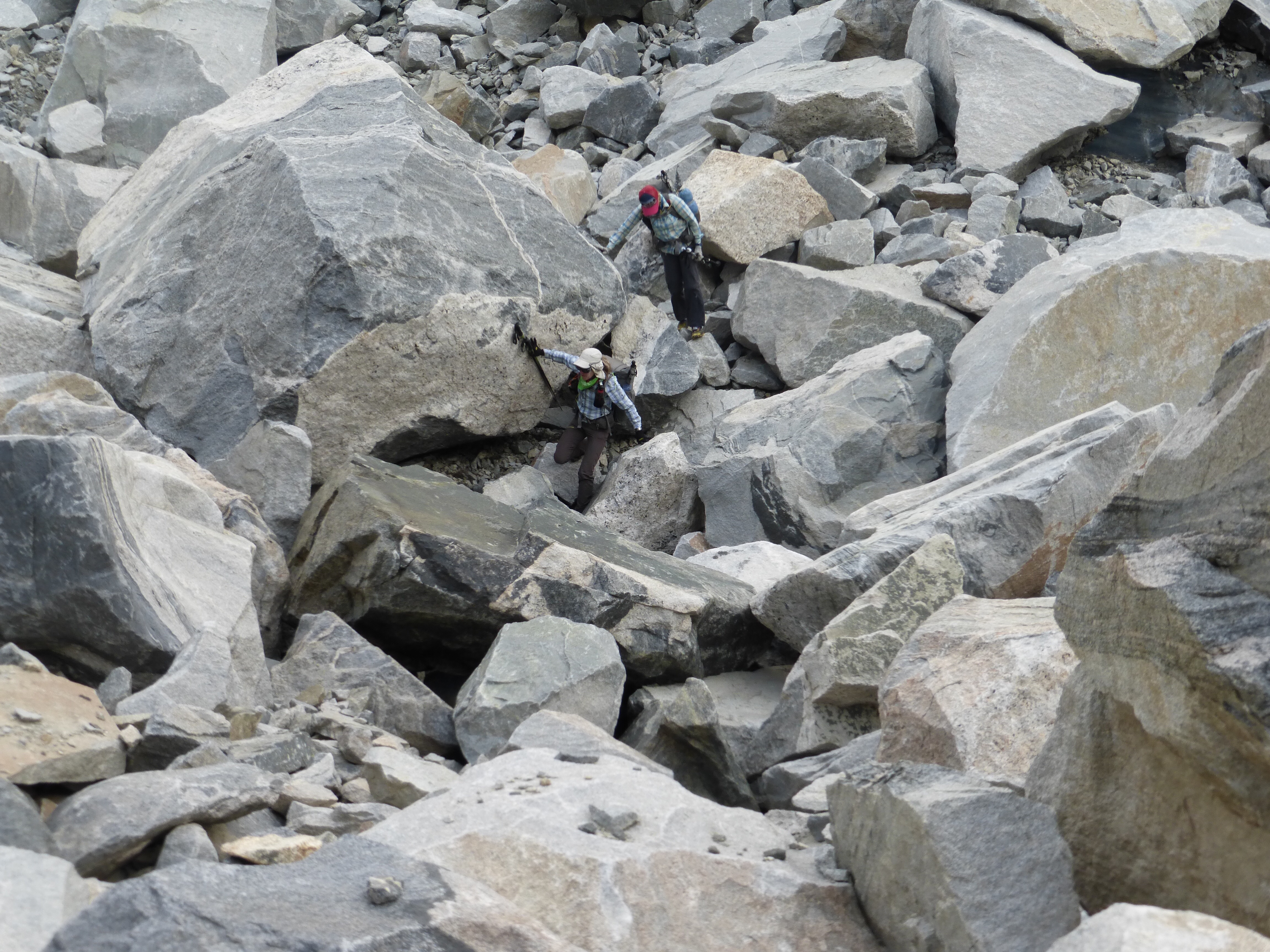
Today, the passes were more like summiting multiple mountains with all the time and effort each one took! Once we got down Blaurock, the next task was West Sentinel Pass and it was really taxing. What took so long was that at the base were some huge boulders we had to climb over for quite awhile. We think it may have also been a climber’s route for a nearby mountain because there were tons of cairns along the way to guide us through the jumbled chaos of massive boulders at the bottom. I don’t know what’s wrong with me, because I actually enjoyed it!
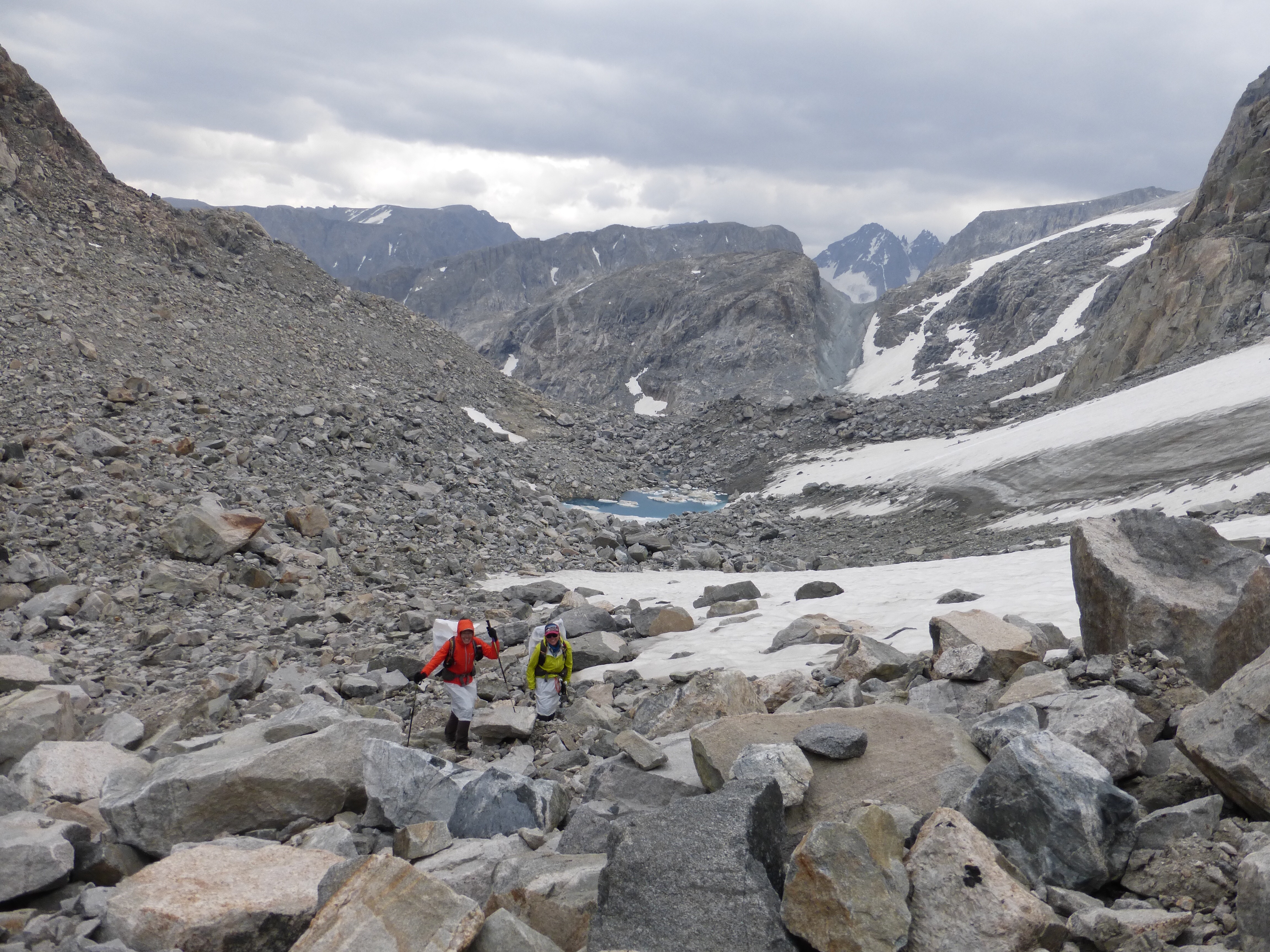
The rocks did get a bit smaller and more spread out in the middle. Notice Rockin’ & Why Not in the center.
In the afternoon, as we were headed higher, wind got strong and sprinkles came down. We all found shelter at nearby boulders to get rain gear on, but it ended up passing and clearing up a bit after about 20mins of waiting.
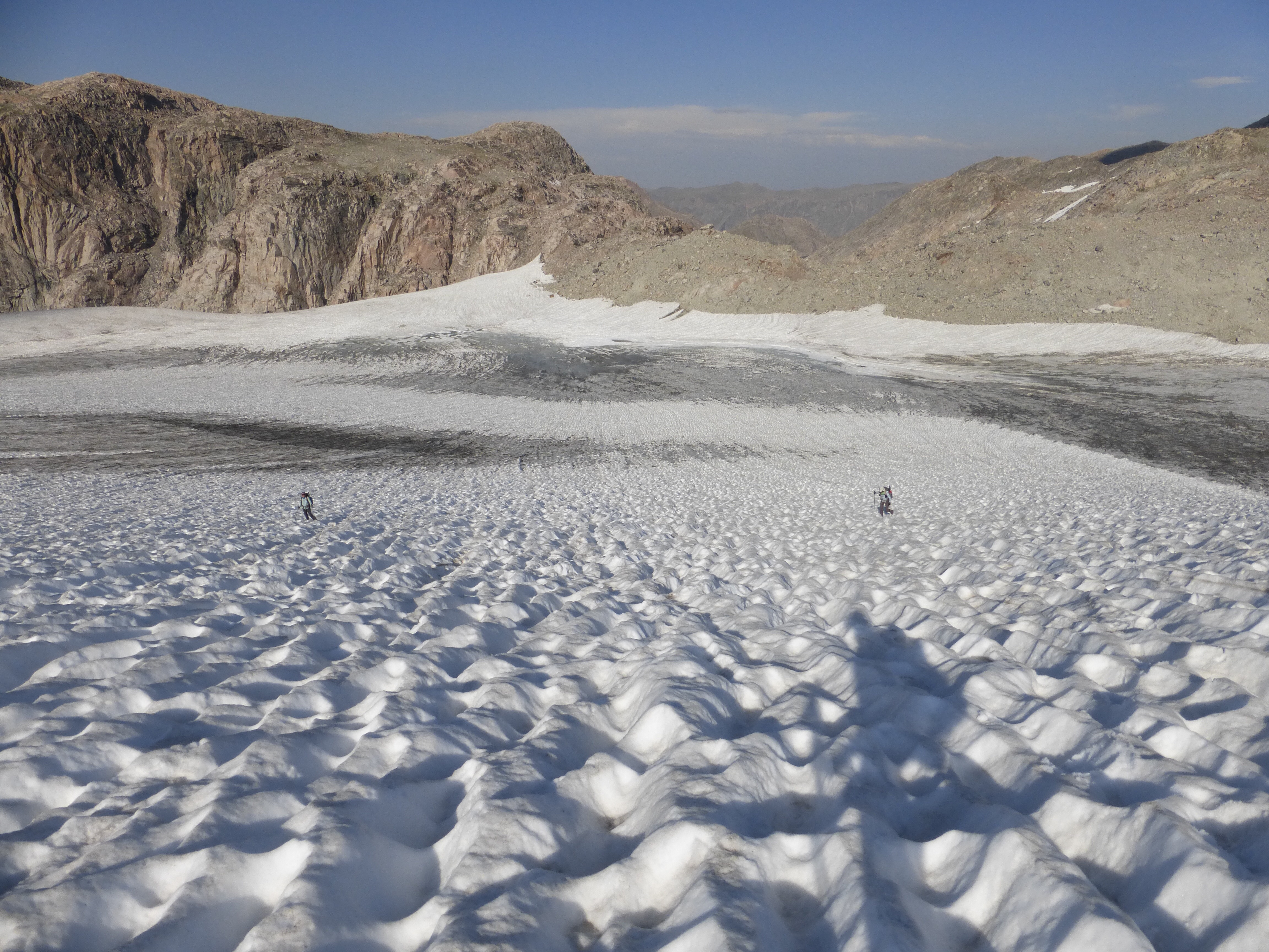
Then we got to cut across the Contintental Divide for a stretch and it was pretty great up there once again. Winds were picking up and it was getting brisk. We decided to push on and commit to finishing by dark at our ideal endpoint. We started hiking at 6am and just needed to push this day til almost 9pm to make it happen!
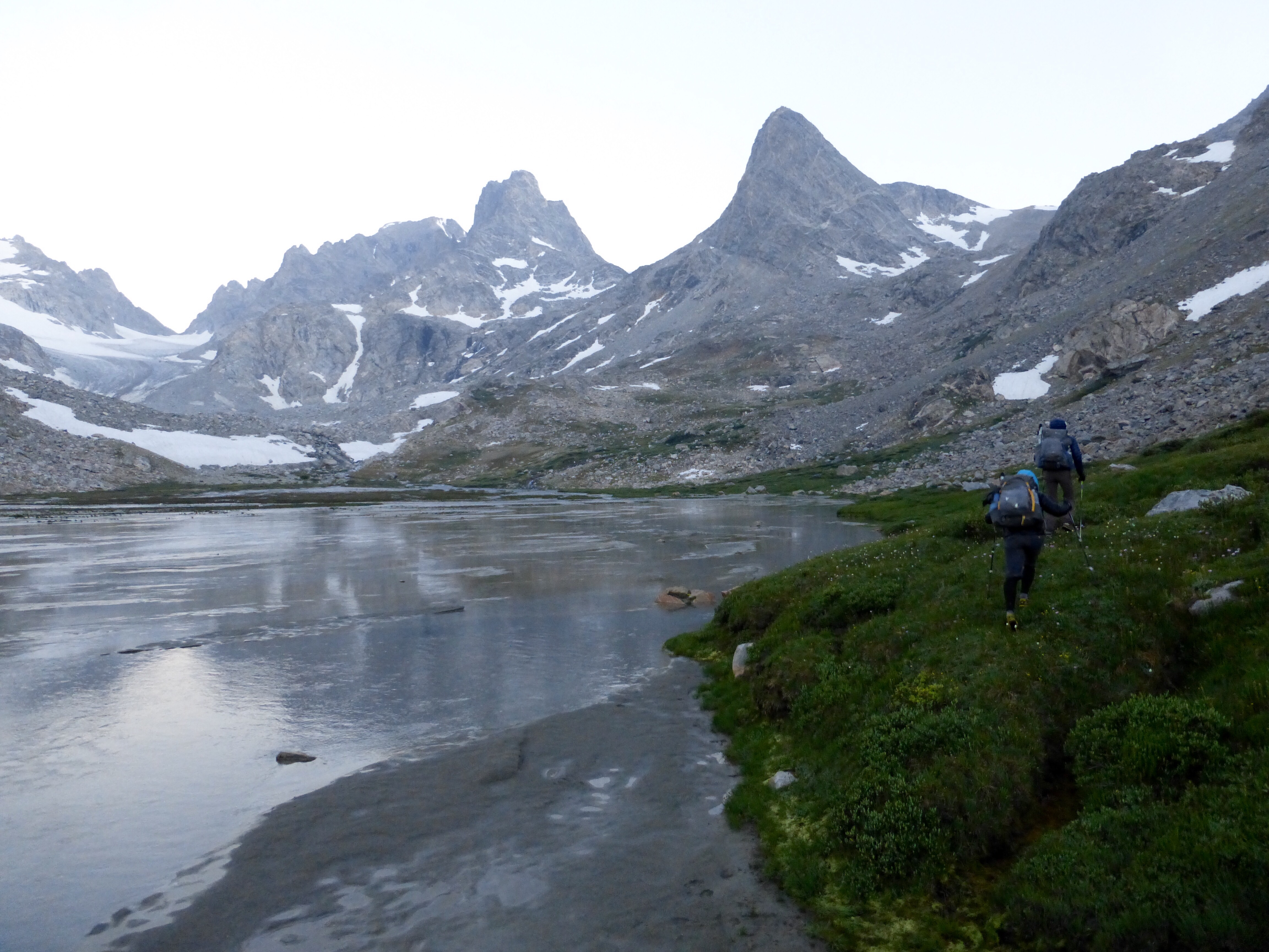
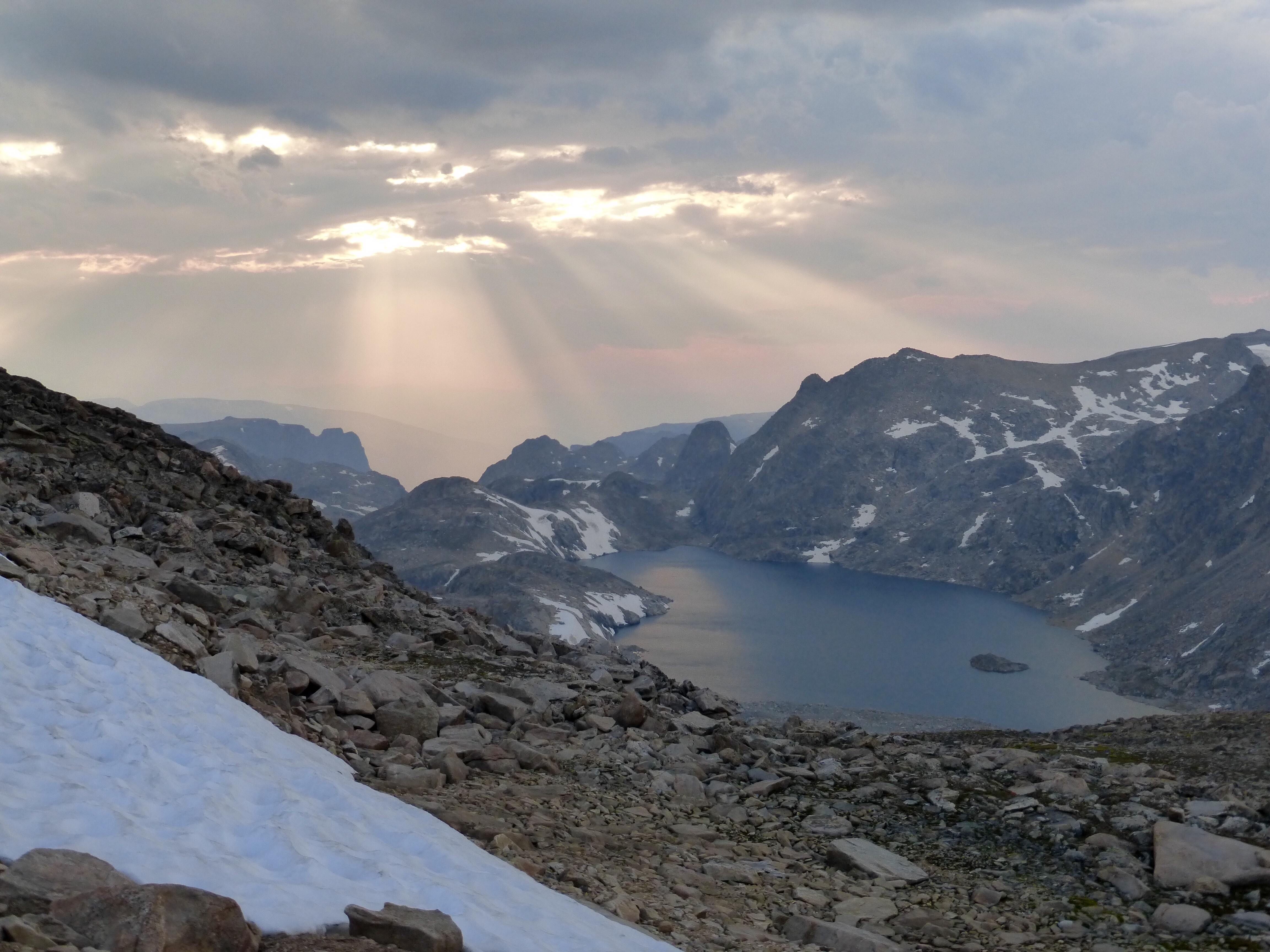
When we rounded the corner to look down on Baker Lake, the view amazed all of us! We were in the right place at the right time and this made it worth it. Wow!
As it got darker out, we could see our endpoint of Iceberg Lake Pass, but it would still require a careful climb down. We were soooo close!
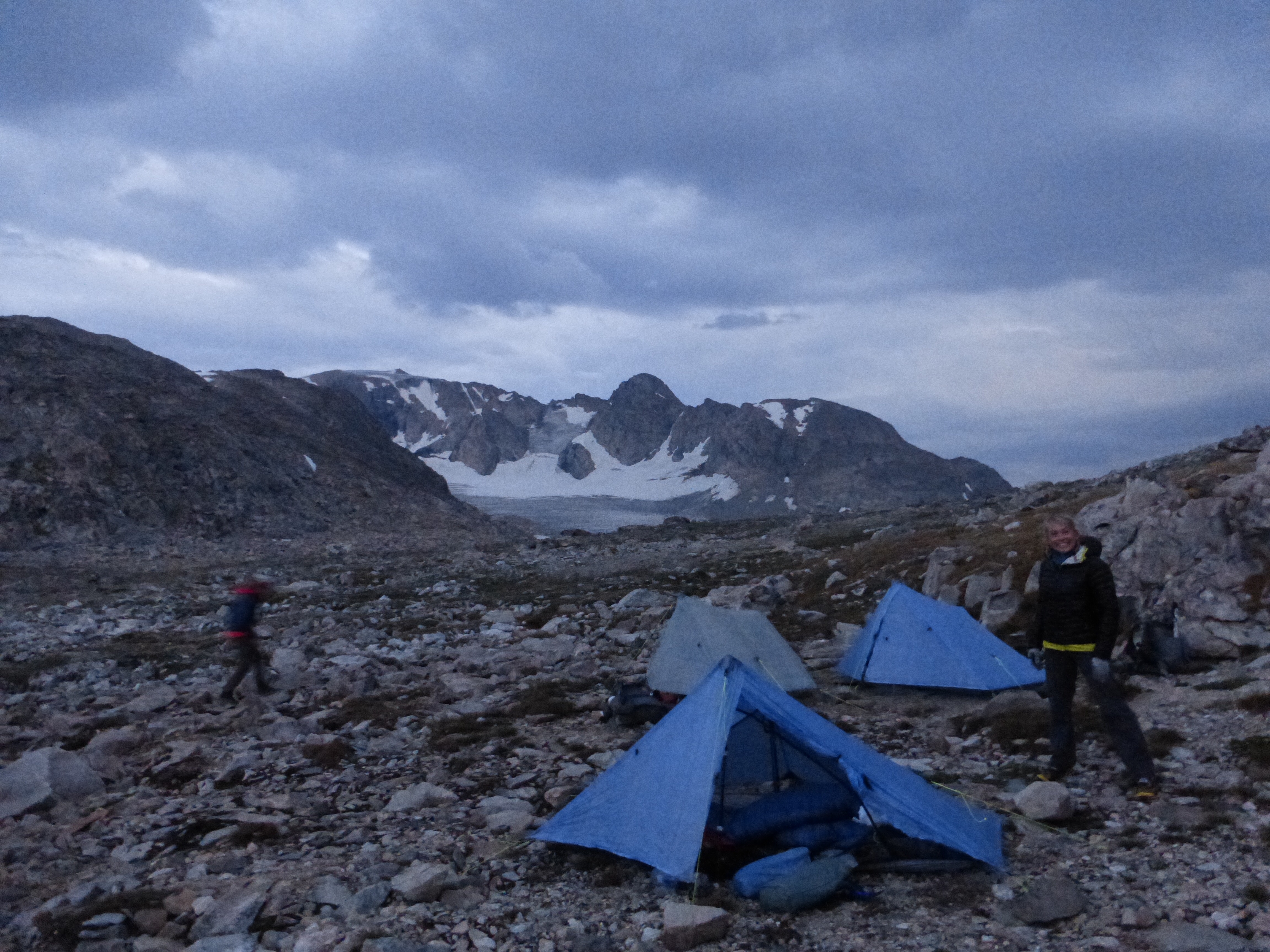
We made it to camp at 8:45pm and it was quite gusty and temps were dropping. We got our tents up quick and chores done. Amazingly, just at the moment we all were getting in the tents for the night, the rain started! It was strong because of the wind and we couldn’t believe our timing that we had just made it. Wow, what a day. This may have been our longest day, but it certainly wasn’t the most tiring. Days like yesterday on the rocks with long ascents and descents are much more tiring. But the culmination of these days back to back are what really make it a challenge. We are still planning for our usual 6am start time tomorrow and hiking up our final mountain of the trip first thing in the morning. Bring it!








Awesome, nice work. The hard stuff is behind you, and now it’s mostly just a matter of the weather. Stay warm!
BTW, all those cairns in the Dinwoody Glacier terminal moraine are for Mt Gannet, the Wyoming high point. But there are so many cairns that they are nearly useless — you could walk in circles endlessly by following them.
We figured that and noticed they led to the camping below, but I still found them really helpful in identifying a quicker clearer path.
Freakin’ beautiful photos, and well done on those boulders!
Gettin’ the hang of them finally!
Amazing! I am inspired to come and try a route like this. You will find very different terrain here in Oz 🙂
Oh I heard in NZ that kind of hiking is near impossible!
Reading here let’s my mind expand as I get ready to pick up a patient, volunteer with shelter cats while patient has chemo, take her home and remember to hit Rite Aid for 20% off day..
Different challenges, and I thank all of you for sharing yours.
I love seeing in action the support and exchange of ideas in the hiker world.
Aw, yes different challenges as well. Glad this can give you a virtual adventure when needed:)
That’s actually Baker Lake. Iceberg should be at the base of Sourdough Glacier behind your tents. I plan to camp near the same spot in a couple weeks.
Oh man, you’re right! Thanks for catching that!
Erin, you are a gifted story teller, narrator and photographer. I believe that one day I will be reading one of your books (that you will one day write) and smile knowing that I helped contribute, in a very small way, toward your vocation.
Enjoy! I know I am.
Aw, thank you Tom. No book coming from me though. It’s all here for all to view and I like that it’s written from the tent at night with no major gap to change the way I perceived it.
I’d read any book you wrote, but this experience with your day to day blogs, fabulous photographs and the interactive nature of comments is so fresh and immediate, it really cannot be compared to the book experience.
Yep, exactly my feeling as well. I like that it isn’t through a lens months or years later. Just fresh from the tent as I’m feeling it.
“Enjoy! I know I am.” -Totally agreed. Erin, I’ve really enjoyed this trail and you three being able to take on this world class hike. Stay safe and can’t wait to read about your finish.