Sponsors


Day 79: The Fourth With Friends
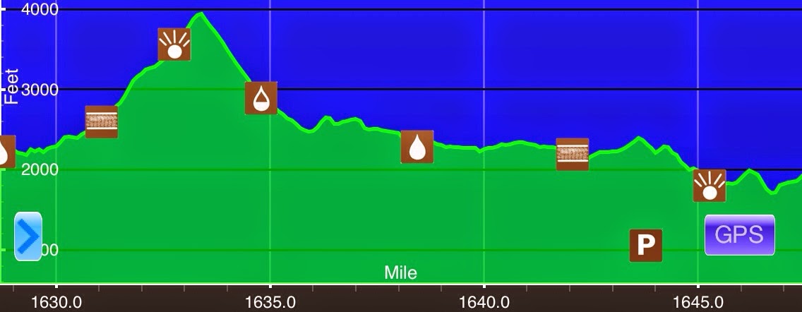
AJuly 4th Black Brook(1628.8)-VT 11 & 30/Manchester Center(1647.2) Vermont 18.4mi Elevation chart courtesy of Guthook's AT Hiker app. He has apps for many trails including the PCT and CDT. It pretty much rained on and off through the night last night. I was wide...
Day 78: Vermud, Verbrush, Verrocks, Verroots, Verrain
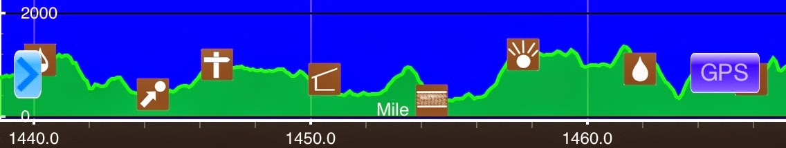
July 3rd Congdon Shelter(1602.8)-Black Brook(1628.8) Vermont 26mi Elevation chart courtesy of Guthook's AT Hiker app. He has apps for many trails including the PCT and CDT. Oh man, I've only been in Vermont for a day and a half and I can't wait to get through it! It...
Day 77: A Wet Welcome To Vermont
July 2nd S of Mt Greylock (1579.7)-Congdon Shelter(1602.8) Massachusetts/Vermont 23.1mi Elevation chart courtesy of Guthook's AT Hiker app. He has apps for many trails including the PCT and CDT. I was motivated this morning and got going at 6:40am. It didn't rain last...
Day 76: Town Hopping
July 1st Wash Mtn Rd/Cookie Lady House(1555.7)-S of Mt Greylock (1579.7) Massachusetts 24mi Elevation chart courtesy of Guthook's AT Hiker app. He has apps for many trails including the PCT and CDT. I got to watch the sunrise from my tent this morning! I was in...
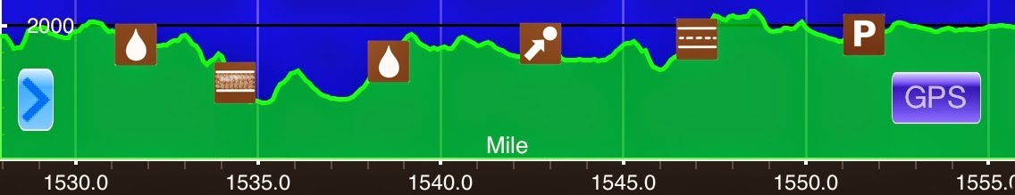
Day 75: Trail Monotony
June 29th S of S Mt Wilcox Shelter(1527.9)-Wash Mtn Rd/Cookie Lady House(1555.7) Massachusetts 27.8mi Elevation chart courtesy of Guthook's AT Hiker app. He has apps for many trails including the PCT and CDT. So the goal for today was to slow down a bit...um, that...
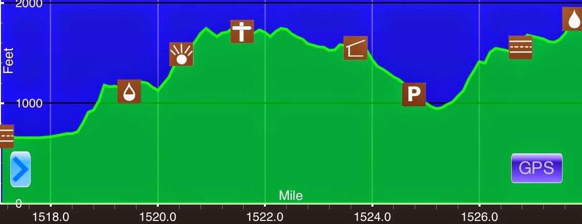
Day 74: Just One Of Those Days
June 29th US 7/Great Barrington, MA(1517.1)-S of S Mt Wilcox Shelter(1527.9) Massachusetts 10.8mi Elevation chart courtesy of Guthook's AT Hiker app. He has apps for many trails including the PCT and CDT. There just aren't enough hours in the day it seems. I don't...
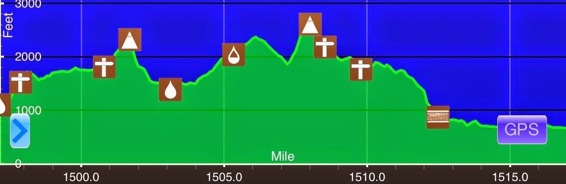
Day 73: Mercy Massachusetts!
June 28th S of Lion's Head(1497.2)-US 7/Great Barrington, MA(1517.1) Connecticut/Massachusetts 19.9mi Elevation chart courtesy of Guthook's AT Hiker app. He has apps for many trails including the PCT and CDT. I need to sleep near streams more often! I didn't wake up...
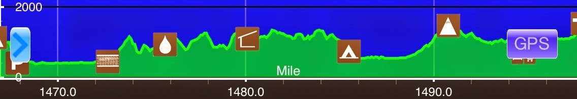
Day 72: Eye Of The Storm
June 27thS of St Johns Ledges(1467)-S of Lion's Head(1497.2) Connecticut 30.2miElevation chart courtesy of Guthook's AT Hiker app. He has apps for many trails including the PCT and CDT.I got going by 6:50am this morning and the first thing I had to do this morning was...
Day 71: Connecticut Baby!
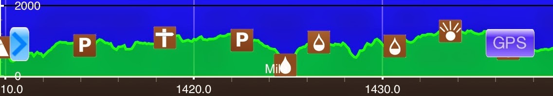
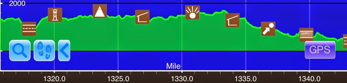
June 26th Nuclear Lake(1438.8)-S of St Johns Ledges(1467) New York/Connecticut 28.2mi Elevation chart courtesy of Guthook's AT Hiker app. He has apps for many trails including the PCT and CDT. It rained pretty hard last night around midnight and that cooled things off...
Day 70: Even The Rocks Are Sweating
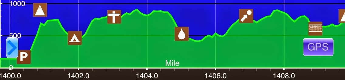
June 25thCanopus Hill(1409.8)-Nuclear Lake(1438.8) New York29miElevation chart courtesy of Guthook's AT Hiker app. He has apps for many trails including the PCT and CDT. Like usual, I was awake at 5:03am with the birds. I am not sleeping well in the humidity and I...
Day 69: Letting Go…A Little
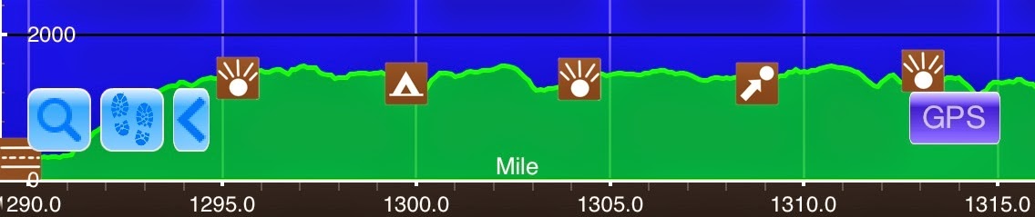
June 24th Trailside Zoo & Museum(1399.2)-Canopus Hill(1409.8) New York 10.6mi Elevation chart courtesy of Guthook's AT Hiker app. He has apps for many trails including the PCT and CDT. This is a longer entry, but it's worth it. Like I tend to do in towns, I stayed...
Day 68: A New York Marathon
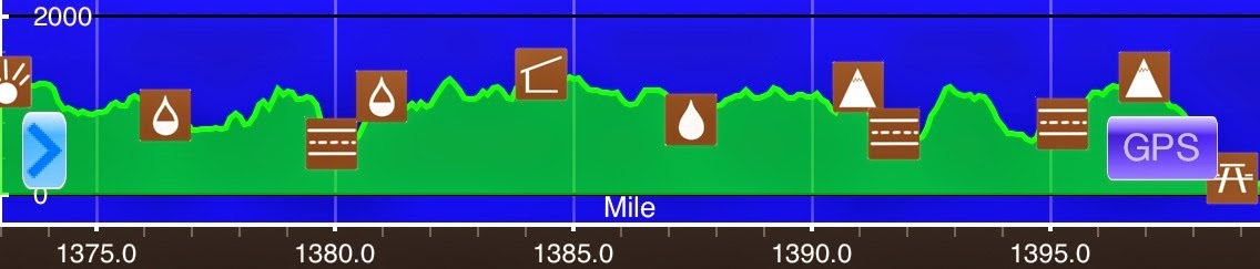
June 23rd S of Mombasha Viewpoint(1373)-Trailside Zoo & Museum(1399.2) New York 26.2mi Elevation chart courtesy of Guthook's AT Hiker app. He has apps for many trails including the PCT and CDT. I had a good night of sleep last night and got going around 6:40am...
Day 67: A Rocky Welcome To New York
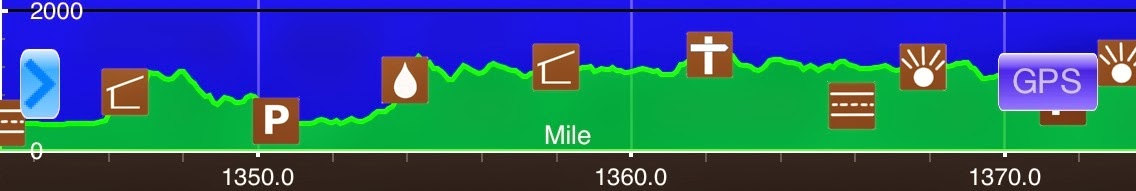
June 22ndS of Carnegie Rd(1343)-S of Mombasha Viewpoint(1373) New Jersey/New York30miElevation chart courtesy of Guthook's AT Hiker app. He has apps for many trails including the PCT and CDT. I did not sleep well last night and felt pretty lethargic this morning. I...
Day 66: They're Baack…
June 21stN of Brink Road Shelter(1315.9)-S of Carnegie Rd(1343) New Jersey27.1miElevation chart courtesy of Guthook's AT Hiker app. He has apps for many trails including the PCT and CDT. I got and early 6am start today to make up for the trip I was going to have to...
Day 65: New Jersey Baby!
June 20th Delaware Water Gap(1289.4)-N of Brink Road Shelter(1315.9) Pennsylvania/New Jersey 26.5mi Elevation chart courtesy of Guthook's AT Hiker app. He has apps for many trails including the PCT and CDT. Today was a refreshingly smooth day. I wanted to get an early...